


223 Things to do near Pebble Beach
first prev 1 2 3 4 5 6 7 8 9 10 next lastShowing results within 50 miles Distance miles of N Bush Hwy, Arizona, USA City, Zip, or Address

Pass Mountain
Mesa, Arizona
4.8 miles SWMultiple loop options and trails with various degrees of difficulty. Beginners/novices will enjoy Moonrock and Blevins trails while experts will enjoy Pass Mt and the Cat Peaks loops. I...
Mountain Bike 2.1 mi

Lower Salt River Nature Trail
Fort McDowell, Arizona
5.1 miles WThe Lower Salt River Nature Trail is a scenic walk to take at the Tonto National Forest. This trail provides stunning views as you walk alongside the Salt River. This rustic trail is older and less...
Camp, Hike
Buckhorn Campground Nature Trail
Apache Junction, Arizona
6.1 miles SWCamp and Hike near Apache Junction, Arizona
Camp, Hike
Cat Peaks - Blevin - Moonrock
Apache Junction, Arizona
6.3 miles SFollow Blevins trail 0.6 miles, the entrance to the Moonrock loop will be on your right, marked by a brown sign and arrow. Take this loop (around 1.4 miles) until it returns to Blevin's...
Mountain Bike
Usery Mountain Regional Park
Mesa, Arizona
6.4 miles SThere are many miles of two-way single-track trails in the park at several levels of difficulty. The Pass Mountain Trail should challenge intermediate to advanced riders. The Cat Peaks...
Mountain Bike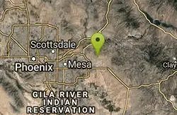
Blevins Via Meridian
Apache Junction, Arizona
6.6 miles SThe ride East down Meridian trail is a one mile intermediate to beginner ride. However if you can stay on the pedals through the several dry wash crossings you are definitely not a...
Mountain Bike 1.5 mi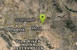
Moon Rock Loop
Apache Junction, Arizona
6.6 miles SLocated within the larger Usery Mountain Regional Park, the Moon Rock loop is a fast and smooth trail that adds 1.3 miles to the more famous Blevins Trail. Although the Moon Rock loop is not known as...
Hike, Horseback, Mountain Bike 1.7 mi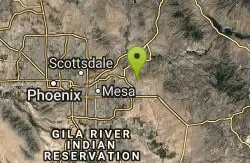
Levee Trail
Mesa, Arizona
7.0 miles SLocated within the Usery Mountain Regional Park, the Levee trail is named so because it mostly follows the top of levee, running parallel to a large section of the channel trail and a Phoenix...
Hike, Horseback, Mountain Bike 1.3 mi
Ridge Trail
Mesa, Arizona
7.1 miles SWThe trails within the Hawes loop system were originally built by mountain bikers for mountain bikers, so the trails feature fantastic singletrack that twist and turn for miles. Be warned,...
Mountain Bike 1.5 mi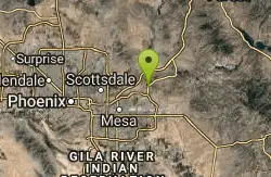
The Saddle
Mesa, Arizona
7.2 miles SWSaddle trail is an intermediate mountain biking trail that connects to the greater Hawes trail network. The trail is 1.5-2mi long and it offers beautiful views of the neighboring Salt River and Red...
Hike, Mountain Bike 7.5 mi
Hawe's Loop
Mesa, Arizona
7.2 miles SWMost of the trails in the Phoenix metropolitan area were originally built by mountain bikers, and the Hawe's loop trail system and trail are no exeptions. This trail features fantastic...
Hike, Mountain Bike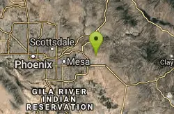
Cat Peaks Via Ruidoso
Apache Junction, Arizona
7.4 miles SThe Ruidoso trail is a beginner ride with a few tricky dry wash crossings that will challenge you to try and stay on the pedals. This trail ends at the Spillway trail after 1.2 miles....
Mountain Bike
Crismon Wash Trail
Mesa, Arizona
7.4 miles SThe Crismon Wash Trail is 1.8 mile trail that is accessible from the south at the Crismon road trailhead. It is also accessible from the Blevins train to the north. There are several...
Hike, Horseback, Mountain Bike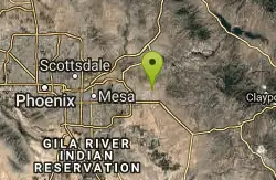
Prospector Loop
Apache Junction, Arizona
8.0 miles SA fast beginners to intermediate (only if youre into speed) training loop. The trail has no markings but is the only trail in the area as it is undeveloped gravel desert. The trail is...
Mountain Bike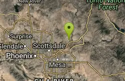
Fountain Hills Skatepark
Fountain Hills, Arizona
8.3 miles WThe Peaks Skatepark is a new addition to Four Peaks Neighborhood Park in northeast Fountain Hills.
Skateboard
Siphon Draw Trailhead to Flatiron
Apache Junction, Arizona
8.4 miles SEThe Siphon Draw Trail up to Flatiron is a beautiful trail within the Lost Dutchman State Park. It is a 5.5 mile, there and back trail near Apache Junction, Arizona. It is a more advanced hike with...
Hike
Fountain Hills Park
Fountain Hills, Arizona
8.5 miles NWFountain Park is a 1.3 mile loop trail located near Phoenix, Arizona ( in Fountain Hills) and is good for all skill levels. The trail is primarily used for hiking and is accessible...
Hike
Lost Dutchman State Park
Apache Junction, Arizona
8.5 miles SEThis park has dirt biking trails. Bikes can use the lower trails (#58) shared with hikers. Bikes are not allowed above Jacobs Crosscut Trail.The park has added a new "Mountain Bike...
Mountain Bike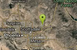
Fountain Hills Disc Golf Course
Fountain Hills, Arizona
8.8 miles NWLots of trees and well-manicured grass around man-made lake with 300' fountain. Multiple pin placements. Maps at 1st tee. Circular concrete tees. Public (No Fee)
Disc Golf
Fountain Park Trail
Fountain Hills, Arizona
8.9 miles NWFountain views, Four Peaks view, desert vegetation, close to coffee! The trail is well groomed and well marked. It parallels some house as you begin to go up the first hill. About 15...
Hike, Mountain Bike


