219 Things to do near Flat Iron Trail
first prev 2 3 4 5 6 7 8 9 10 11 next lastShowing results within 50 miles Distance miles of Indian Creek, Swan Valley, ID 83449, USA City, Zip, or Address
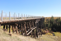
Conant Creek Pegram Truss Railroad Bridge
Ashton, Idaho
42.9 miles NAs part of the Rails to Trails project, this old railroad bridge has been transformed into a very safe little viewing experience for the whole family. You can drive right up to the bridge where there...
Hike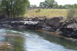
Fall River Bridge
Ashton, Idaho
43.0 miles NRight off Highway 20, there's a great spot to swim, swing, and dive. There's pullouts for parking right next to the bridge. There's a rope swing under the railroad bridge and a little...
Dive, Swim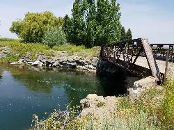
Twin Bridges
St. Anthony, Idaho
44.0 miles NThere's an old abandoned bridge next to the one currently in use. The water is pretty deep underneath and offers two distinct levels to jump from. There's a little rope swing under the bridge...
Dive, Swim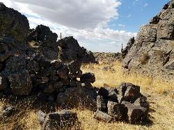
Rattle Rock / The Gauntlet
Menan, Idaho
44.5 miles NWRattle Rock is a much different arena than the flat or even hilly woods associated with rec ball or wooden scrap barriers like many established fields. You won't find any trees, spools, or straw...
Airsoft, Paintball
Firth River Bottoms
Firth, Idaho
44.6 miles WWhether you like to ride horses, picnic, camp, fish, learn about the past, or play baseball, this park has something for everyone. The Parks & Recreation Department and the IDaho Education...
Camp, Canoe, Hike
Falls River, Lower Run
Ashton, Idaho
45.8 miles NFall River rises on the Madison and Pitchstone plateaus in the southwest corner of Yellowstone National Park, Wyoming and flows approximately 64 miles (103 km) to its confluence with the Henrys Fork...
Whitewater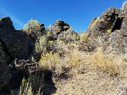
Lava Hill
Menan, Idaho
46.4 miles NWThis is a great little spot. Each team starts at one side of the collapsed lava tube. You can see each other really well from that point. Then you take the hill and get the other guys off it. It...
Airsoft, Paintball 29.6 mi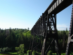
Ashton to Tetonia Trail
Ashton, Idaho
46.5 miles NThe Idaho Department of Parks and Recreation undertook the project to transform the old Teton Valley Branch of the Union Pacific Railroad from Ashton to Tetonia into a trail for bikes, ATVs, and...
Mountain Bike
Crystal Creek Campground
Jackson, Wyoming
46.7 miles ECrystal Creek Campground is located along the Gros Ventre River and Crystal Creek, both designated Wild and Scenic Rivers for the spectacular surrounding scenery and excellent fishing opportunities....
Camp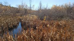
River Rush
Ashton, Idaho
46.8 miles NPaintball near Ashton, Idaho
Paintball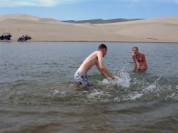
Egin Lakes
Saint Anthony, Idaho
46.9 miles NWEgin Lakes is one of the favorite gateways to the St. Anthony Sand Dunes. The lakes themselves are unusually shallow and where you'll actually find a lake depends greatly on what time of the...
Sled, Swim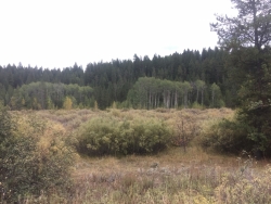
Porcupine Creek
Ashton, Idaho
47.3 miles NPorcupine Creek is a hunting, fishing, camping, and swimming spot near Ashton, Idaho in Fremont County within Targhee National Forest. It's surrounded by forests, meadows, and a creek...
Camp, Swim
St. Anthony Sand Dunes
Saint Anthony, Idaho
47.7 miles NWBest known for their offroad riding conditions, the St. Anthony Sand Dunes provide a sledding experience unlike any other. These mountains of sand are fun for sliding down in the summer but during...
Sled
Sheep Falls on Fall River
Ashton, Idaho
47.9 miles NThe lesser known Sheep Falls on Fall River is a local treasure off of Cave Falls road. There are primitive campsites and beautiful views for a great picnic spot. The water splits and comes down in...
Camp 2.1-2.3 mi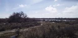
Market Lake Wildlife Management Area
Roberts, Idaho
48.1 miles NWMallards, Canada geese, canvasbacks, cinnamon and green-winged teal, northern shovelers and ruddy ducks are common waterfowl species nesting and raising broods on the WMA. Several thousand...
Hike, Horseback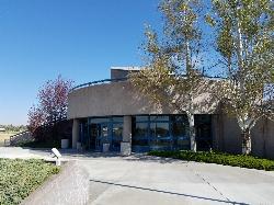
Hell's Half Acre Northbound Rest Stop
Blackfoot, Idaho
48.2 miles WThis is a well maintained rest area with facilities to keep you happy as you travel through Idaho. This rest stop on Interstate 15 about 9 miles north of Blackfoot Idaho has nice picnic tables and...
Hike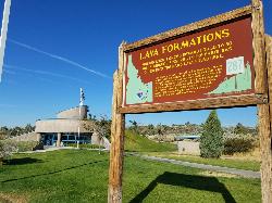
Hell's Half Acre Southbound Rest Stop
Blackfoot, Idaho
48.2 miles WThis is a well maintained rest area with facilities to keep you happy as you travel through Idaho. This rest stop on Interstate 15 about 15 miles South of Idaho Falls has nice picnic tables and...
Hike 3.2-47.0 mi
Yellowstone Branch Line Trail
Ashton, Idaho
49.3 miles NYellowstone branch line trail runs from Warm River to the Montana border totaling 39 miles. There are a few places to jump on and off the trail as well as a few smaller trails that branch off of this...
Backpack, Cross-country Ski, Hike, Horseback, Mountain Bike
Warm River Campground
Ashton, Idaho
49.3 miles NWarm River Campground is located nine miles northeast of Ashton, Idaho, along the slow-moving Warm River at an elevation of 5,200 feet. Willows line the riverbanks and pine trees offer partial...
Camp


