230 Things to do near Art Dye Disc Golf Park
first prev 1 2 3 4 5 6 7 8 9 10 next lastShowing results within 50 miles Distance miles of 573 E 700 N, American Fork, UT 84003, USA City, Zip, or Address

Evergreen Park
American Fork, Utah
0.8 miles SSled near American Fork, Utah
Sled
Shelley Elementary
American Fork, Utah
1.0 miles WSled near American Fork, Utah
Sled
300 East Lehi Lot
Lehi, Utah
3.5 miles NWThis is a huge lot with a lot of terrain. There's a couple of easily accessible hills and plenty more that could be played on.
Sled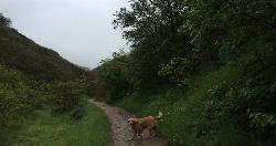
Dry Creek Trail Park
Lehi, Utah
3.7 miles WSpread out along creek. Trees and water come into play - some long walks between holes but well marked for navigation. Public (No Fee)
Disc Golf
Bonneville Shoreline Trail - Cedar Hills to Grove Creek Canyon
Pleasant Grove, Utah
4.0 miles EThe Cedar Hills to Grove Creek Canyon portion of the Bonneville Shoreline Trail is an intermediate level trail. There are some flat spots that are on old dirt roads, as well as single track...
Mountain Bike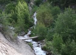
Grove Creek Trail
Pleasant Grove, Utah
4.1 miles EThe Grove Creek Trail falls from the upper shoulder of Mount Timpanogos down Grove Creek Canyon to Pleasant Grove. It's usually ridden as a shuttled downhill -- because the climb up this...
Hike, Mountain Bike
Beacon Hill Park Disc Golf
Highland, Utah
4.4 miles NIncredible views of Utah Valley, Utah Lake, and the surrounding Rockies. Nestled on a large expanse of natural fields at the base of Hog Hollow Canyon, the course has a (usually) dry creek and a few...
Disc Golf
G Mountain Trail
Pleasant Grove, Utah
4.8 miles SEThe trail starts at Kiwanis Park which is south of the 'G' at the end of Battle Creek Road. The trail starts out a little steep for about .25 mile and the very last bit is a...
Hike 1.2 mi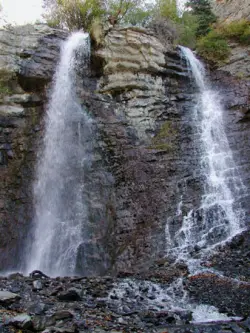
Battle Creek Falls
Pleasant Grove, Utah
4.8 miles SEBattle Creek Falls, located near Pleasant Grove, Utah, is a scenic waterfall that also has a rappelling and rock climbing area nearby. Hikers are allowed to see the falls from two view points, below...
Canyoneer, Hike
Rodeo Down
Alpine, Utah
4.8 miles NBlack Dog. Trail winds from the middle of Corkscrew down to Flank and River, just south of the water tank. Some technical aspects, length 0.5 miles with 300 vertical feet elevation...
Mountain Bike 1.5 mi
Timpanogas Cave
Provo, Utah
5.5 miles NEKnown for it's colorful cave decorations, the Timpanogas cave attracts numerous visitors per year, is steep but it's paved so that visitors can access the cave. To access the cave, visitors...
Backpack, Cave, Hike
Oak Canyon Junior High
Lindon, Utah
5.9 miles SESled near Lindon, Utah
Sled 1.3 mi
Eagle Crest Trail
Draper, Utah
6.2 miles NWEagle Crest trail is a beginner level trail mountain bike in Draper, Utah along the north side of Traverse Mountain. From the trail, riders can see the Salt Lake Valley, the Northern end of Utah...
Hike, Mountain Bike
Mercer Hollow Trail
Draper, Utah
6.4 miles NMercer Hollow Trail is primarily used to bomb down the southern flanks of the ridge the Corner Canyon Trails sit on. It's filled with berms, rock features, rollers, and sweet, sweet...
Hike, Mountain Bike 1.7 mi
Schoolhouse Springs Trail
Alpine, Utah
6.4 miles NSchoolhouse Springs trail has an elevation trail at 5,300 ft. It's located at the end of the town of Alpine. It features a lake and there's a number of activities including horse-back...
Hike, Mountain Bike
Saratoga Hot Springs
Saratoga Springs, Utah
6.7 miles SWThe Saratoga Hot Springs are a wonderful place to visit in every season. The water is always around 100 degrees Fahrenheit, perfect for soaking away the winter cold. This is a wonderful place to...
Hike, Hot Springs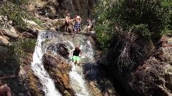
Alpine Rock Water Slide
Alpine, Utah
6.8 miles NCLOSED. The land has been sold and the new owner has closed off the waterslide to the public. The Alpine Waterslide is a natural waterslide that surprisingly does not hurt your backside. However,...
Swim 1.7 mi
Jacob's Ladder Trail
Sandy, Utah
7.3 miles NJacobs Ladder trail has an elevation trail of 5,700 ft. and the most popular trailhead out of the five trails in Lone Peak. It's located near a large area on the right side of the road...
Hike, Mountain Bike 0.2-1.8 mi
Lone Peak
Draper, Utah
7.3 miles NEstablished in 1978 and located southeast of Salt Lake, Lone Peak is one of the taller peaks in the Wasatch range along the Wasatch Front. It has 5 main trailheads: Jacobs Ladder via Corner Canyon...
Hike, Mountain Bike, Rock Climb 1.2 mi
Ghost Falls Trail
Sandy, Utah
7.3 miles NGhost Falls is located in the corner canyon riding area of Draper, Utah and one of the first mountain bike routes in the canyon. It's a family-friendly hike, named for the...
Hike, Mountain Bike, Snowshoe


