


24 Free Swimming Holes near Crozet, Virginia
first prev 1 2 next lastShowing Swimming Holes within 50 miles Distance miles of Crozet, VA 22932, USA City, Zip, or Address
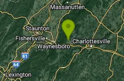
Mint Springs Valley Park
Crozet, Virginia
1.9 miles NWMint Springs Valley Park is a beautiful eight acre park with a variety of activities to enjoy. The park has two small lakes with beaches and is surrounded by forests with miles of trails. The park...
Hike, Mountain Bike, Swim 15.6 mi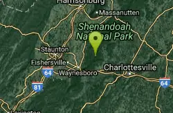
Sugar Hollow
Crozet, Virginia
5.6 miles NWSugar Hollow Loop is an 11 mile hiking loop that starts and ends and Sugar Hollow Reservoir. While no swimming and boating are allowed at the reservoir, this is a fun place to enjoy the beautiful...
Hike, Swim 6.1 mi
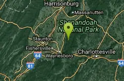
Rip Rap Hollow
Crozet, Virginia
8.2 miles NWRip Rap Hollow is a secluded swimming hole that makes for a great stop along the 10 mile loop hike in Shenandoah Valley. This is a difficult hike, but for those up to the challenge it provides...
Hike, Swim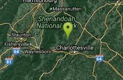
Charlottesville Area
Williamsville, Virginia
9.2 miles NETwo nice swimming places north of Charlottesville. For details... Fees: Yes
Swim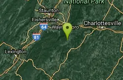
Pauls Creek
Nellysford, Virginia
13.7 miles SWPaul's Creek Trail is a beautiful short hike to a unique little swimming hole. From the parking lot to the waterfall and back is a quick and easy 1.2 mile hike. This makes this a beautiful hike...
Hike, Swim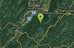
Campbell Creek
Tyro, Virginia
21.3 miles SWSwimming places in creek, pool at bottom of falls and others nearby. A 6 miles hike, round trip, much on the AT and a good bit of elevation change to get there. Good if you are looking for a serious...
Swim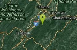
St. Mary's Falls
Raphine, Virginia
23.8 miles SWSt. Mary's Falls is a beautiful swimming hole located in St. Mary's Wilderness. This unique swimming hole has beautiful blue green water and unique rock formations. These low rocks provide a...
Hike, Swim
Natural Chimneys
Mount Solon, Virginia
28.9 miles NWNatural Chimneys is known for its beautiful vertical limestone formations. These formations are coated with trees and vines and surrounded by rushing river water giving visitors an otherworldly view....
Camp, Hike, Mountain Bike, Swim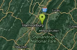
Fridley Gap
Keezletown, Virginia
29.5 miles NThe Mountain Run swimming hole, also known as the Fridley Gap Hole, located just outside of Keezleton, Virginia, is a popular swimming hole located at about the halfway point of a great hiking loop...
Hike, Swim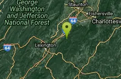
Big Marys Creek Slide
Vesuvius, Virginia
30.8 miles SWBig Mary's Creek Slide is a popular destination for both locals and tourists. It is popular because of its beautiful waterfalls, cool clear water and the natural waterslide. The waterslide...
Swim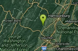
Stokesville Campground
Madison, Virginia
31.3 miles NWSwim near Madison, Virginia
Swim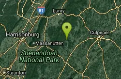
Rapidan Rivers
Madison, Virginia
31.5 miles NERapidian Rivers is a perfect location to cool off while enjoying the day at Shenandoah National Park. The water along the Rapidian Rivers deepens in several places creating several unique swimming...
Swim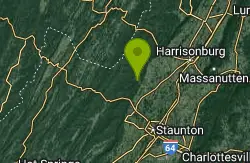
North River Gap
Mount Solon, Virginia
32.0 miles NWNorth River Gap is a recreation area between Todd Lake and Stokesville Campground. Though smaller, North River Gap is well worth exploring and enjoying its unique features. One of North...
Camp, Hike, Swim 0.3 mi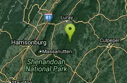
Big Rock Falls
Syria, Virginia
33.0 miles NEBig Rock Falls is an easy hike to a beautiful cascading waterfall. The hike follows Mill Prong River giving hikers a beautiful view of the flowing water, forests and rock formations for the entire...
Hike, Swim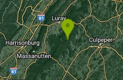
Rose River
Syria, Virginia
35.7 miles NERose River Falls is a beautiful forested hike in Shenandoah National Park. The lush greenery in this area provides ample shade for hikers as they explore this four mile trail. Rose River Trail is...
Hike, Swim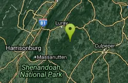
Old Rag Area
Crewe, Virginia
37.3 miles NEThere are numerous (we list 6 locations) swimming holes at the bottom of falls and elsewhere in rivers in the East Central region of the Shenandoah National Park, in the vicinity of...
Swim 2.8 mi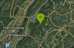
Cedar Run Falls
Oldrag, Virginia
37.3 miles NECedar Run Falls is a strenuous but rewarding hiking trail located in central Shenandoah National Park. This over 8 mile trail gives hikers views of six different waterfalls along the trail...
Hike, Swim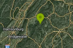
Whiteoak Canyon
Syria, Virginia
38.7 miles NEWhiteoak Canyon is a beautiful hiking area in Shenandoah National Park. This hike features two very unique waterfalls, Upper Whiteoak Falls and Lower Whiteoak Falls. Lower Whiteoak Falls is...
Hike, Swim
Panther Falls
Amherst, Virginia
40.8 miles SWSwim near Amherst, Virginia
Swim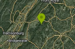
Nicholson Hollow Trail
Morning Star, Virginia
41.8 miles NENicholson Hollow Trail is a moderately strenuous trail that explores a more remote area of Shenandoah National Park. Hikers hoping to access this trail can find it off of Skyline Drive between Stoney...
Hike, Swim


