


7 Free Snowshoe Trails near Coal Creek Trail
first prev 1 next lastShowing Snowshoe Trails within 50 miles Distance miles of Coal Creek Trail Head, Alta, WY 83414, USA City, Zip, or Address
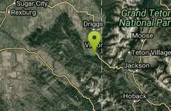
Teton Springs Trail
Victor, Idaho
7.5 miles NWCLOSED. This trail is no longer accessible to the public. There is a new company which owns the resort and the loop land. Teton Springs Loop is a loop for cross-country skiing and snowshoeing. The...
Cross-country Ski, Snowshoe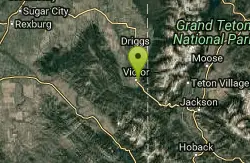
Pioneer Park Nordic Trail
Victor, Idaho
8.3 miles NWDistance: 3 miles (4.5km) Trail Map: Pioneer_Park_2015.pdf Grooming Report: http://tvtap.org/nordic-grooming
Cross-country Ski, Snowshoe
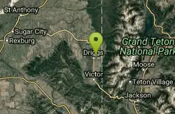
Driggs Nordic Trail
Driggs, Idaho
16.2 miles NDistance: 3.1 miles (5km) Trail Map: Driggs_Nordic_Track_2015.pdf Grooming Report: http://tvtap.org/nordic-grooming
Cross-country Ski, Snowshoe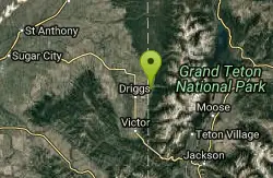
Alta Nordic Trail
Alta, Wyoming
17.1 miles NDistance: 6.2 miles (10km) Trail Map: Alta_Nordic_Trail_2015.pdf Grooming Report: http://tvtap.org/nordic-grooming
Cross-country Ski, Snowshoe 7.1 mi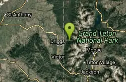
Mill Creek Trail
Moose, Wyoming
17.3 miles NThere are two ways to do this ride, one as a loop with the Targhee road providing the bulk of the climb, or as an out and back (up the trail and back down). Keep in mind that this trail is...
Cross-country Ski, Mountain Bike, Snowshoe 0.6 mi
Packsaddle Lake
Tetonia, Idaho
25.3 miles NWPacksaddle is one of the less well known lakes/trails in the area. If you've got a good offroad vehicle, you can probably make it all the way to the end of the road, otherwise, it's just an...
Dive, Hike, Mountain Bike, Snowshoe, Swim 3.8 mi
Kelly Mountain Trail
Ririe, Idaho
32.4 miles WKelly Canyon Trail is a moderate, uphill trail that can be used by hikers, mountain bikers, and ATV riders. The trail features views of hills, mountains, trees, wildflowers, and some wildlife. Dogs...
Cross-country Ski, Hike, Mountain Bike, Snowshoe


