


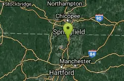
Map of 22 Mountain Bike Trails near Wilbraham, Massachusetts
first prev 1 2 next lastShowing Mountain Bike Trails within 50 miles Distance miles of Wilbraham, MA 01095, USA City, Zip, or Address
Windsor Locks Canal Trail
Suffield, Connecticut
13.0 miles SWThe 4.5 mile Windsor Locks State Park Canal Trail follows the historic towpath of this 170 plus year old historic waterway. The canal’s many vantage points offer the trail user scenic vistas...
Hike, Mountain Bike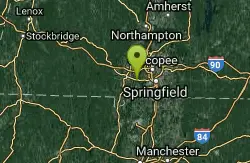
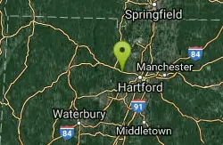
Robinson state park
Agawam, Massachusetts
13.4 miles WAwesome park for 2 hour ridegood network of trails that vary from technical to fly down at 40 mph smooth downhills. watch out for trick trails that arent really trails and go off of...
Mountain Bike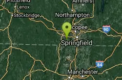
Provin Mountain
Southwick, Massachusetts
14.3 miles Wmoderate climb, fun descents great views
Mountain Bike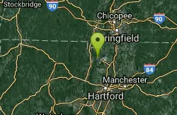
Metacomet Trail
East Granby, Connecticut
20.0 miles SWThe Metacomet Trail is a 62.7-mile Blue-Blazed hiking trail that traverses the Metacomet Ridge of central Connecticut and is a part of the newly designated 'New England National Scenic...
Hike, Mountain Bike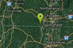
Granville Gorge
Southwick, Massachusetts
20.5 miles WMountain Bike and Swim near Southwick, Massachusetts
Mountain Bike, Swim
Cowles Park
East Granby, Connecticut
21.9 miles SWVery well maintained trails with a great variety: some downhill, some hill ups and downs, flat technical sections, and fire roads. Just a fun wide range of trails. Would go back any...
Mountain Bike
Carpenter's Falls
Granby, Connecticut
24.3 miles SWDO not head down the trail to the left it is for hiking/walking only. Ride up the hill till you hit pavement. Mostly a really rough dirt road passable by some suvs, but with a few...
Mountain Bike
Central
Simsbury, Connecticut
25.7 miles SWone huge drop and plenty of jumps usually lots of people there not many non bikers trail is always changing
Mountain Bike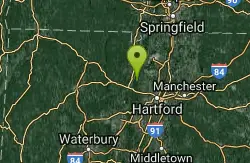
Penwood State Park
Simsbury, Connecticut
26.8 miles SWAn extensive trail system envelopes this hill top park with many scenic views of the Farmington River Valley. There's single track that traverses within inches of 200 foot cliffs....
Mountain Bike
Heublein Tower
West Hartford, Connecticut
29.3 miles SWMix of single trail, double trail and gravel roads. Go counterclockwise. Beautiful views from Heublein Tower.
Mountain Bike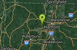
Winding Trails
Farmington, Connecticut
33.6 miles SWMajor trail complex with lots to do. Trail maps are available at stations and you will need to pay a $5 fee for parking. The trail is about 5 miles long with little technical challenge...
Mountain Bike
Gilbert Mountain / Winsted Woods
Winchester, Connecticut
35.5 miles WThere used to be a race here and many of the trail markings are still there but a lot of washout has happened and you'll need to look for the newer connecting single track for the...
Mountain Bike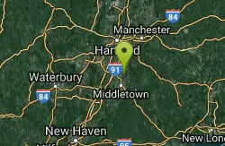
Cromwell Creek
Cromwell, Connecticut
36.5 miles SWas probably a nice a place to ride at some point until the ATVers ruined most of the trails. Still some good single track nuggets here and there. Nothing really special....
Mountain Bike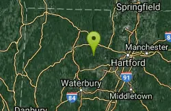
Nassahegan State Forest
Burlington, Connecticut
36.6 miles SWA good network of trails in the Nassahegan State Forest. A main loop with a number of side trails. A large loop exist that will bring you past a road. Parking is Avaliable at the park...
Mountain Bike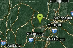
Sessions Woods
Burlington, Connecticut
38.2 miles SWTrail system in the Sessions Woods WMA. A good mix of rock and roots making for a fun time on the bike. Trails also connect to a number of other areas near by but also include road...
Mountain Bike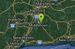
Middlesex Community College
Middletown, Connecticut
41.6 miles SMany trails to choose from, very techical singletrack, powerlines, dirtbike tracks, every possible obstacle, can be very confusing, not well mapped out, and you can end up 10 miles...
Mountain Bike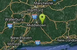
Hurd State Park
East Hampton, Connecticut
41.7 miles SA very nice network of trails mixing from fire roads that are easy, double track that is between easy and beaten up, and plenty of single track, even some slick rock. Most intermediate,...
Mountain Bike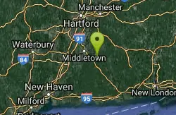
Red Trail
East Hampton, Connecticut
41.8 miles SFairly easy semi-loop trail that contains a mix of double track and single track. The trail is wide and in good shape, but a decent drop down to the river, followed by a short, but...
Mountain Bike
Wadsworth State Park
Middletown, Connecticut
42.6 miles SSome really interesting singletrack installed within the last few years, some dual track, and then some really technical stuff that pops out of no where. A hidden treasure between New...
Mountain Bike
Thomaston Dam
Thomaston, Connecticut
44.0 miles SWThe Vista picnic area offers visitors excellent views of the dam and portions of the Naugatuck River Valley. The streamside environment is popular for fishing and upland game hunting....
Mountain Bike


