


28 Mountain Bike Trails near Pendleton, South Carolina
first prev 1 2 next lastShowing Mountain Bike Trails within 50 miles Distance miles of Pendleton, SC 29670, USA City, Zip, or Address
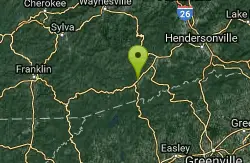
Buckwheat Knob / 122
Brevard, North Carolina
35.5 miles NThe last of "Satan's Staircase," this is a crazy-steep push up to the top of Buckwheat Knob. Once to the top of the knob, the trail flattens out a little, climbs a little more...
Mountain Bike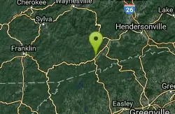
Buckhorn Gap / 103
Brevard, North Carolina
35.5 miles NYou can access the bottom of this trail from FS 477, or the top of it from gated road 5058. Much of this trail is classic Pisgah singletrack, complete with gnar and creek crossings, but...
Mountain Bike
New Vista Rd
Brevard, North Carolina
35.5 miles NGeneral Fire road with a nice view accross the valley
Mountain Bike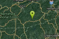
Devils Elbow #448
Lake Toxaway, North Carolina
37.0 miles NDevils Elbow trail #448 runs up to the knob of the same name and connects to trail #450 and trail #474, the main Panthertown Valley thoroughfare. Some sections are old forest road while...
Mountain Bike
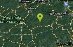
Panthertown Valley
Glenville, North Carolina
38.5 miles NPantertown Valley is a network of trails ranging from old fire roads to double track to super tight singletrack. There's 35 miles of total trails in the valley, but bikes are limited...
Mountain Bike
Blackrock #447
Glenville, North Carolina
38.6 miles NBlackrock starts from the western most trailhead for Panthertown Valley off of Breedlove Road. From there it climbs steeply up and over a miniature mountain, with some options to access...
Mountain Bike 2.6 mi
Bracken Preserve
Brevard, North Carolina
40.7 miles NThis is the main trail within Bracken Preserve. Beginning at the parking area at the end of Pinnacle Drive, and connecting with Forest Service road 475-C in Pisgah National Forest. This trail...
Mountain Bike
Brushy Creek
Brevard, North Carolina
40.7 miles NIt is a loop in the sense that it breaks off of the main Bracken Mt. Trail and re-connects with the Bracken Mt. Trail via Mackey Ridge Trail. Head uphill and you are on your way to the...
Mountain Bike
Coontree
Brevard, North Carolina
41.8 miles NThis trail is 3.7 miles one-way. This trail is a gnarly, steep hike-a-bike in one direction and a steep, technical descent the other. Prepare to get your butt kicked!...
Mountain Bike
Sycamore Cove
Brevard, North Carolina
42.6 miles NHead back down the highway to find the trailhead. The trail is on the left side of the road as you head back towards Hwy 280. Follow the blue blazed trail. Combine this trail with Thrift Cove by way...
Mountain Bike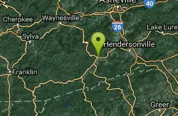
Bennett Gap / 138
Pisgah Forest, North Carolina
43.2 miles NThis trail is 3 miles in one direction. Again, another gnarly Pisgah-area trail! This trail has several awesome views off the top of the ridge of Looking Glass mountain. Absolutely incredible--be...
Hike, Mountain Bike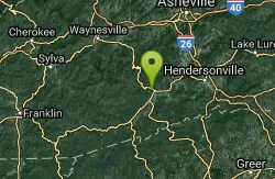
Thrift Cove
Brevard, North Carolina
43.6 miles NStart riding the trail at the back of the parking lot. Go about 0.1 miles and turn right up Thrift Cove trail. Follow the red blazes and turn left at the intersection with Grass Road. On the way back...
Hike, Mountain Bike
Avery Creek / 327
Brevard, North Carolina
43.6 miles NThe bottom end of Avery Creek can be accessed via FS 477, and the top can be accessed via the Buckwheat Knob trail, the Black Mountain trail, or the Club Gap trail. Avery Creek descends for 3.2 miles...
Hike, Mountain Bike 13.5 mi
Horse Cove Gap Loop / FS 475C
Brevard, North Carolina
43.7 miles NMaintained fire road. From the hatchery, it's 4 miles of steady elevation gain before easing and connecting to Bracken Mt. Trail. GPS map is 5.8 miles one-way, 12 miles round trip. Otherwise,...
Mountain Bike 0.8 mi
Daniel Ridge Falls
Brevard, North Carolina
43.7 miles NThis waterfall in Pisgah National Forest near Brevard has multiple names: Tom's Spring Branch Falls, Daniel Ridge Falls and Jackson Falls. It’s an easy half-mile hike on the Daniel Ridge...
Hike, Mountain Bike, Swim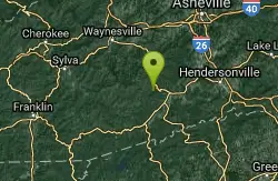
Butter Gap / Trail #123
Brevard, North Carolina
43.7 miles NThe right (western) fork, which is open to mountain bikes, leads to FS 471D, which some riders use as part of a large loop; otherwise, they must backtrack down Butter Gap Trail. *The portion of the...
Hike, Mountain Bike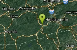
Brevard Bike Path
Brevard, North Carolina
43.7 miles NGovernment at it's best. Great way to get from town to the forest. If you are camping at the Davidson River Campground you can connect to the bike via Eastatoe Trail. The Bike path is great way...
Mountain Bike
North Slope
Pisgah Forest, North Carolina
43.8 miles NThis trail is only open from October 15 - April 15. This trail is very worn and is more suitable to hiking, but it is an interesting bike trail nonetheless. Start from the parking lot and ride across...
Hike, Mountain Bike 3.1-4.3 mi
Farlow Gap
Canton, North Carolina
43.8 miles NThis is one of the most technical downhills in Pisgah: very steep and rocky! The trail drops about 2000 ft in 3 miles then connects with the Daniel Ridge trail. The climb to the gap is long (9 miles)...
Hike, Mountain Bike 7.1 mi
Daniel Ridge Loop
Canton, North Carolina
43.8 miles NThis is a classic, short Pisgah loop. It's moderately technical most of the way with a couple of trickier sections. Most people prefer to approach it counter-clockwise, but it can be ridden...
Hike, Mountain Bike


