


Map of 38 Mountain Bike Trails near Culver, Oregon
first prev 1 2 next lastShowing Mountain Bike Trails within 50 miles Distance miles of Culver, OR 97734, USA City, Zip, or Address
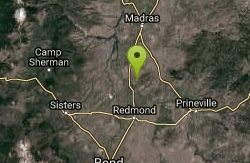
Cole loop
Culver, Oregon
7.8 miles SClimb the cole loop.
Mountain Bike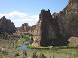
Smith Rock State Park
Terrebonne, Oregon
11.6 miles SSmith Rock is Oregon’s premier rock climbing destination, and one of the best sport climbing areas in the United States. This world-renowned sport climbing mecca has more than once been at...
Hike, Mountain Bike, Rock Climb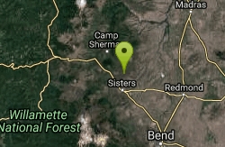
Stevens Canyon Loop
Sisters, Oregon
19.3 miles SWSingle track, 20 mile loop, adopted from an old motocross loop.
Mountain Bike 1.2-7.3 mi
Juniper Trails
Redmond, Oregon
19.7 miles SJuniper Trails is a wonderful destination for mountain bikers of all skill levels. The miles of trails are broken into longer and shorter loops. Beginners can feel confident riding on the main...
Mountain Bike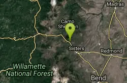
Butte Loops Trail
Sisters, Oregon
22.6 miles SWThis trail consists of two loops: Upper Loop and Lower loop. The Lower Loop is on the low west flank of Black Butte and the Upper Loop circles Black Butte. source: fs.usda.gov...
Mountain Bike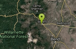
Peterson Ridge Loop
Sisters, Oregon
23.4 miles SWX-country riders will love this system. Basically this is an 18 mile loop with no less than 12 ‘connector’ trails running between the two sides, PT West &...
Mountain Bike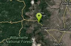
Suttle Lake Loop
Sisters, Oregon
24.6 miles WThe loop is about 2 miles approximately in length and the highway side of the lake is less congested as several campgrounds border the opposite side. The best part of this trail is not...
Mountain Bike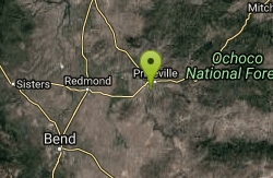
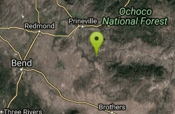
Lower Deschutes Wild and Scenic River
Prineville, Oregon
24.6 miles SEThe Lower Deschutes River is Central Oregon's playground. From white water rafting and swimming to hiking and biking, you'll find an ideal location for outdoor sports. Follow the Lower...
Mountain Bike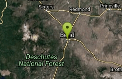
Horse Ridge Recreation Area
Bend, Oregon
32.7 miles SExcellent riding.
Mountain Bike
Ben's Lower
Bend, Oregon
34.4 miles SBen's is about 7 miles long one-way, and is split into basically two portions. The lower portion is all two-way, flowy cross country trail, but the upper section of Ben's is...
Mountain Bike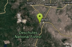
Phil's Trail
Bend, Oregon
34.4 miles SSince this is the namesake for the entire trail system and the oldest trail in the area, I kind of expected a blown-out doubletrack. That is entirely NOT the case! COTA has done an...
Mountain Bike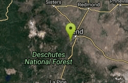
Entrada Loop Trail
Bend, Oregon
35.6 miles SNice for day hiking, or as a mountain bike connector to either the Tumalo Trail System or the Deschutes River Trail. source: fs.usda.gov
Mountain Bike
Prineville Resevoir campground trail
Prineville, Oregon
36.3 miles SEGreat single track. Rock and steeper inclines with some off camber parts of the trail make for some good technical riding. You can actually ride from Prineville Oregon State campground...
Mountain Bike
Phil's Area
Bend, Oregon
37.3 miles SWUpdate 7/22/13 by mtbgreg1:The Phil's Area Trail System is the go-to trail system for mountain biking in Bend. Even the other trails in the region that aren't actually part of the...
Mountain Bike
Tumalo Trail System
Bend, Oregon
37.3 miles SWMassive trail system located west of Bend in the national forest.
Mountain Bike
Tumalo Creek
Bend, Oregon
37.3 miles SWThe Tumalo Creek Trail is 3.5 miles one-way and parallels Skyliner road. Starting at the Skyliner trailhead, the trail runs up near the road on the ridge side to the Tumalo Falls...
Mountain Bike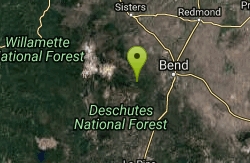
Skyliners
Bend, Oregon
37.3 miles SWSkyliners is a 3.2-mile intermediate singletrack trail that runs from the Skyliner's trailhead to a junction with Whoops and Ben's trail, which is the corner of the Phil's Area Trail...
Mountain Bike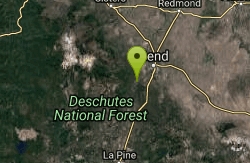
Inn Loop
Bend, Oregon
37.8 miles SA moderately easy ride through some nice stands of lodgepole pine and ponderosa pine.Mileposts:0.0 - Trailhead parking lot at junction of FS roads 46 and 41. Head out on FS road 41.0.6...
Mountain Bike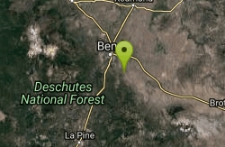
Horse Butte
Bend, Oregon
37.9 miles STrails in this area are good for those who want a less crowded alternative to the busy trails west of Bend. Please be considerate of other users since these trails are designated...
Mountain Bike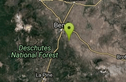
Arnold Ice Cave
Bend, Oregon
38.1 miles SThis trail travels from Coyote Loop Trail #3962.0 to Swamp Wells Campground. The Skeleton Cave Trail #3963.1 and the Fuzztail Butte Trail #3965 are accessed from this trail....
Mountain Bike


