


18 Mountain Bike Trails near Turley Hole
first prev 1 next lastShowing Mountain Bike Trails within 50 miles Distance miles of Old Tennessee 63, Pioneer, TN 37847, USA City, Zip, or Address
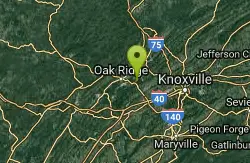
Haw Ridge Park
Oak Ridge, Tennessee
26.0 miles SThe best singletrack in the area. A multitude of small loops that can be strung together to make as much or as little as you want. Trails to seek out: Saddle, Middle Road, Lake Road,...
Mountain Bike
Sharps Ridge Memorial Park
Knoxville, Tennessee
31.4 miles SEJust 10 minutes from downtown you can drive to the top of Sharp's Ridge Memorial Park for the best view of our skyline and the distant mountain peaks. There are 4.7 miles of multi-use...
Mountain Bike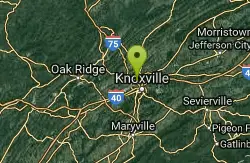
Knight Fall Gravity
Knoxville, Tennessee
31.5 miles SEDownhill Jump line.
Mountain Bike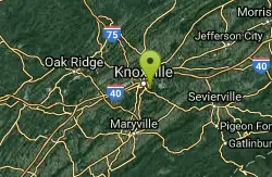
Baker Creek
Knoxville, Tennessee
36.6 miles SE"I've never been to these trails but I would imagine they are similar to Turkey Creek and Horn Creek. Please review this trail to give a better description.
Mountain Bike
Baker Creek Preserve
Knoxville, Tennessee
36.6 miles SEBaker Creek Preserves features five multi-use, two-way trails, and three designated mountain bike downhill trails for more experienced riders, providing 7.1 miles of hiking and biking...
Mountain Bike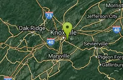
Urban Wilderness South Loop
Knoxville, Tennessee
36.9 miles SESouth loop is a cobbled together circuit connected to and by all the area riding venues. Start at any point you wish and go either way, and you'll wind up where you started as long as...
Mountain Bike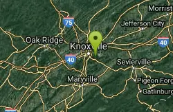
Ijams Nature Centre
Knoxville, Tennessee
36.9 miles SEIjams Nature Center was an old rock quarry in Knoxvvile converted to a nature conservatory with some pretty awesome hiking and biking tails. Here you'll find singletracks on Hickory and...
Mountain Bike
Victor Ashe/Marie Myers park
Knoxville, Tennessee
37.0 miles SEPart of the Urban Wilderness South loop, trail connects from Quarries to William Hastie. Good single track with significant elevation changes.
Mountain Bike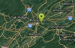
Forks Of The River
Knoxville, Tennessee
37.0 miles SEThe 350 acre Forks of the River (formerly, Eastern State) Wildlife Management Area is nestled on the south shore of the Tennessee River. The area is only a few hundred acres and...
Mountain Bike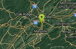
IC King Park
Knoxville, Tennessee
37.4 miles SEThe single-track trail leaves the northern end of the parking area between the railroad track and cove. The trails roll and weave through hardwoods, cedars, and pines. The southern...
Mountain Bike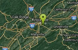
William Hastie Natural Area
Knoxville, Tennessee
37.5 miles SEThe William Hastie Natural Area is a small park featuring a little bit of everything. The Sink Hole trail offers some more "techy" stuff with bridges, rocks, and mud. The View Park...
Mountain Bike
Anderson School/Helix
Knoxville, Tennessee
38.0 miles SEHeading down Lost Chromosome (part of the Urban wilderness S Loop) you get to signs for Chain Ring. L.C. continues down hill to the Fork of the river area. Chain ring is the perimeter...
Mountain Bike
Groundhog
Knoxville, Tennessee
38.0 miles SEThis is one of the entrance/exits from Forks of the River Wildlife Management Area. Alternate entry/exit from park to the S. From rd it's a very steep first 1/4 mile rocky climb in and...
Mountain Bike
Lost Chromosome
Knoxville, Tennessee
38.1 miles SELost Chromosome is the S leg of the South Loop, and the entry to Helix area, at about the half way point. Starting from school it's an easy trail, well marked, and finishes with a few...
Mountain Bike
Chain Ring/Creek
Knoxville, Tennessee
38.2 miles SELoop around area. Everything from easy double track to, steep rocky climbs. In South East corner, there's a nice gravel stream crossing to a small loop (Creek side) with a nice hill....
Mountain Bike
AC/DC/MCR
Knoxville, Tennessee
38.4 miles SEI would say to use a gps enabled phone, bring a map, or ride with someone who is familiar, or just do it!! AC/DC starts from W side of Chain Ring, at a huge berm, can't miss it.(two...
Mountain Bike
Clear Creek
Lebanon, Kentucky
39.3 miles NEClear Creek is a wide multi-purpose trail that follows a beautiful creek. This trail is open to hikers, runners, mountain bikers, fishermen, horse back riders and off-road vehicles under 50 inches....
Hike, Horseback, Mountain Bike, Swim
Panther Creek State Park
Morristown, Tennessee
49.2 miles EWe have some friends from Virginia that moved here. They were looking for some Singletrack riding. We read that PantherCreek had some trails. We took off on our 45 min. ride not...
Mountain Bike


