


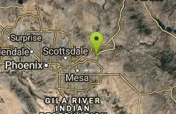
125 Mountain Bike Trails near The Saddle
Showing Mountain Bike Trails within 50 miles Distance miles of 11781-13619 N Bush Hwy, Mesa, AZ 85215, USA City, Zip, or Address
Ridge Trail
Mesa, Arizona
0.0 miles EThe trails within the Hawes loop system were originally built by mountain bikers for mountain bikers, so the trails feature fantastic singletrack that twist and turn for miles. Be warned,...
Mountain Bike 7.5 mi
Hawe's Loop
Mesa, Arizona
0.1 miles SMost of the trails in the Phoenix metropolitan area were originally built by mountain bikers, and the Hawe's loop trail system and trail are no exeptions. This trail features fantastic...
Hike, Mountain Bike
Desert Trails Bike Park
Mesa, Arizona
2.8 miles SHike and Mountain Bike near Mesa, Arizona
Hike, Mountain Bike
Pass Mountain
Mesa, Arizona
4.0 miles EMultiple loop options and trails with various degrees of difficulty. Beginners/novices will enjoy Moonrock and Blevins trails while experts will enjoy Pass Mt and the Cat Peaks loops. I...
Mountain Bike
Usery Mountain Regional Park
Mesa, Arizona
4.9 miles SEThere are many miles of two-way single-track trails in the park at several levels of difficulty. The Pass Mountain Trail should challenge intermediate to advanced riders. The Cat Peaks...
Mountain Bike 1.5 mi
Moon Rock Loop
Apache Junction, Arizona
5.0 miles SELocated within the larger Usery Mountain Regional Park, the Moon Rock loop is a fast and smooth trail that adds 1.3 miles to the more famous Blevins Trail. Although the Moon Rock loop is not known as...
Hike, Horseback, Mountain Bike 1.7 mi
Levee Trail
Mesa, Arizona
5.1 miles SELocated within the Usery Mountain Regional Park, the Levee trail is named so because it mostly follows the top of levee, running parallel to a large section of the channel trail and a Phoenix...
Hike, Horseback, Mountain Bike
Cat Peaks - Blevin - Moonrock
Apache Junction, Arizona
5.2 miles SEFollow Blevins trail 0.6 miles, the entrance to the Moonrock loop will be on your right, marked by a brown sign and arrow. Take this loop (around 1.4 miles) until it returns to Blevin's...
Mountain Bike
Crismon Wash Trail
Mesa, Arizona
5.5 miles SEThe Crismon Wash Trail is 1.8 mile trail that is accessible from the south at the Crismon road trailhead. It is also accessible from the Blevins train to the north. There are several...
Hike, Horseback, Mountain Bike
East Maricopa Floodway
Mesa, Arizona
6.6 miles SWith a primary entrance located at the intersection between Main Street and Higley Road, the East Maricopa Floodway provides riding to cyclists and mountain bikers. The surface of the floodway...
Mountain Bike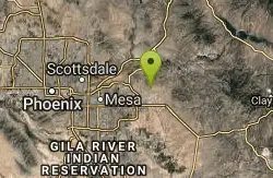
Blevins Via Meridian
Apache Junction, Arizona
6.8 miles SEThe ride East down Meridian trail is a one mile intermediate to beginner ride. However if you can stay on the pedals through the several dry wash crossings you are definitely not a...
Mountain Bike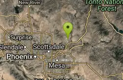
Fountain Park Trail
Fountain Hills, Arizona
7.1 miles NFountain views, Four Peaks view, desert vegetation, close to coffee! The trail is well groomed and well marked. It parallels some house as you begin to go up the first hill. About 15...
Hike, Mountain Bike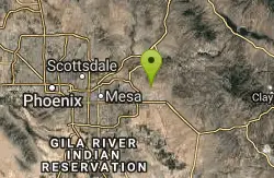
Cat Peaks Via Ruidoso
Apache Junction, Arizona
7.3 miles SEThe Ruidoso trail is a beginner ride with a few tricky dry wash crossings that will challenge you to try and stay on the pedals. This trail ends at the Spillway trail after 1.2 miles....
Mountain Bike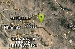
Prospector Loop
Apache Junction, Arizona
9.4 miles SEA fast beginners to intermediate (only if youre into speed) training loop. The trail has no markings but is the only trail in the area as it is undeveloped gravel desert. The trail is...
Mountain Bike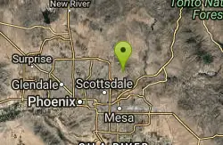
Sunrise
Scottsdale, Arizona
9.8 miles NWSweet little loop! Gradual climb with some fun descent and nice views of Scottsdale and Phoenix. Watch out for Cacti and drink lots of water, it's very exposed and the Sun is...
Mountain Bike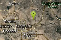
Sport Loop
Fountain Hills, Arizona
10.5 miles NMountain Bike near Fountain Hills, Arizona
Mountain Bike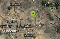
Coachwhip Trail Loop
Fountain Hills, Arizona
11.4 miles NThe Pemberton Trail is the best known trail in this area and is the arterial backbone connecting other spur trails. Don't just ride Pemberton and feel like you've seen it all. Many...
Mountain Bike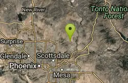
Tonto Pass
Fountain Hills, Arizona
11.5 miles NTrail starts out as Pemberton loop - counterclockwise. Ride approximately 5.25 miles (430ft climb over this distance). No real technical areas on the way up, some sand and small berms....
Mountain Bike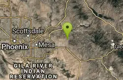
Lost Dutchman State Park
Apache Junction, Arizona
12.1 miles EThis park has dirt biking trails. Bikes can use the lower trails (#58) shared with hikers. Bikes are not allowed above Jacobs Crosscut Trail.The park has added a new "Mountain Bike...
Mountain Bike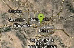
Papago Park Area Mountain Bike Trail
Scottsdale, Arizona
12.4 miles WMountain Bike near Scottsdale, Arizona
Mountain Bike
Indian Bend Bike Trail
Scottsdale, Arizona
12.6 miles NWIndian Bend Wash Greenbelt is a urban, concrete paved path, primarily used for biking and walking/jogging, in Scottsdale, Arizona. This point A to point B, 11 mile long trail takes you past parks,...
Hike, Mountain Bike
Pemberton Loop
Fort McDowell, Arizona
12.8 miles NThere are many places to start this loop from really as it crosses other trails and the main road twice. The 15 mile loop can be cut in half or about more by either the Tonto Tank tr or...
Mountain Bike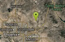
McDowell Mountain Park
Fort McDowell, Arizona
12.9 miles NThis trail is great. It is not as rocky as other Phoenix area trails( ie: Trail 100, National, Estrella Mtn Park). Twisty singletrack on rolling contour. The surface consists of small...
Mountain Bike 5.7 mi
Taliesin/Quartz Loop
Scottsdale, Arizona
13.0 miles NWA quick loop that has a couple difficult climbs depending on which way you take it. Leads to a cool viewpoint and has a ton of flowing singletrack. A fun rocky trail through neighborhoods in...
Mountain Bike
Wagner-Granite-Bluff Trails
Scottsdale, Arizona
13.2 miles NHike and Mountain Bike near Scottsdale, Arizona
Hike, Mountain Bike
Wagner Trail
Scottsdale, Arizona
13.2 miles NWagner Trail is a 2.2 mile, beginner to intermediate loop trail located in the McDowell Sonoran Preserve. The trail is well-marked and easy to follow; this wide, but rugged...
Hike, Horseback, Mountain Bike
Tom's Thumb to Bell Pass
Scottsdale, Arizona
14.1 miles NWHike and Mountain Bike near Scottsdale, Arizona
Hike, Mountain Bike
Gateway and Tom's Thumb Loop Trail
Scottsdale, Arizona
14.1 miles NWStarting at the 104th St trailhead, head toward the Gateway loop trail. Turn right at the Gateway loop. Next take the Bell pass trail and be prepared for a steep climb. Once you hit...
Hike, Horseback, Mountain Bike
Inspiration Point
Scottsdale, Arizona
14.1 miles NWInspiration Point is a 5.7, moderate hike located on the McDowell Sonoran Preserve near Scottsdale, Arizona. You'll begin your hike at the Gateway area, where you can find a parking lot...
Hike, Mountain Bike
Gateway Loop
Scottsdale, Arizona
14.1 miles NWThe trailhead has water, bathrooms, etc. The trail starts off shared with other short walking trails and such, then quickly becomes a steep and rocky ascent. The climb is challenging...
Mountain Bike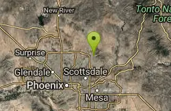
Phoenix Mcdowell / Wingate Pass / Bell Pass
Scottsdale, Arizona
14.1 miles NWThe trailhead has water, bathrooms, etc. The trail starts off shared with other short walking trails and such, then quickly becomes a steep and rocky ascent, with some nice flowing...
Mountain Bike 0.6 mi
Horseshoe Trail
Scottsdale, Arizona
14.2 miles NWHorseshoe trail is a short, fun singletrack with a lot of quick turns created by wash areas and rocks. It's a nice warm-up heading to Gateway Loop Trail. In some areas there are a lot of cactus,...
Hike, Horseback, Mountain Bike
Tom's Thumb Trail
Scottsdale, Arizona
14.6 miles NWTom's Thumb Trail is a popular trail on the McDowell Sonoran Preserve due to its unique thumb-like granite rock formation. This is a 4.7 out-and-back, intermediate trail because of its 1,200...
Hike, Mountain Bike, Rock Climb 2.2 mi
Marcus Landslide Trail
Scottsdale, Arizona
14.7 miles NWThe Marcus Landslide Trail is named after ASU professor Melvin Marcus, a renouned geographer, after the discovery and recognition of the interesting geographical area in 2002. More than 500,000...
Hike, Horseback, Mountain Bike, Rock Climb 2.0 mi
Loma and Canal Trails
Tempe, Arizona
15.7 miles WTrails open to mountain biking and hiking that wind through the Papago Park in Tempe, Arizona. The Loma Trail winds around lots of uphill and downhill paths, and leads to a park with a small lake and...
Hike, Mountain Bike
Papago Park Area
Phoenix, Arizona
16.0 miles WPapago Park offers a large area for mountain bikers, consisting of 5 beginner-intermediate loops and a dirt jump area for experts. Much of the area has a mix of loose dirt and rolling hills, so the...
Mountain Bike
Double Butte Loop Trail
Phoenix, Arizona
16.0 miles WDouble Butte Loop Trail is one of the trails within Papago Park in Phoenix, Arizona. The Double Butte Loop Trail is a natural trail that traverses the circumference of both the small butte...
Hike, Mountain Bike

K-trail & Vortex
Gold Canyon, Arizona
17.0 miles SEThis is definitely a challenging way to ride both the entire K and Vortex trails. They are best ridden from the North to the South but to do this you need to get to the North end of the...
Mountain Bike
Lost Goldmine & Cougar Loop
Gold Canyon, Arizona
17.0 miles SEThis is a short, fun but pretty technical ride. The technical part is the fact that it starts out with a ride on the Lost Goldmine trail which is a very rocky trail built for hiking....
Mountain Bike
Cloudview
Gold Canyon, Arizona
17.0 miles SEThis parking area is used primarily for the very popular Hieroglyphs hiking trail and the Lost Goldmine hiking trail which connects with Peralta Road seven miles to the East. It is also...
Mountain Bike


