


29 Mountain Bike Trails near Jerry Miller Disc Golf Course at Camp Taloali
first prev 1 2 next lastShowing Mountain Bike Trails within 50 miles Distance miles of 15934 N Santiam Hwy SE, Stayton, OR 97383, USA City, Zip, or Address
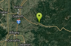
Shelburg Falls
Stayton, Oregon
5.2 miles EHead up the gravel road for several miles, past the lower falls, and then past the upper parking. There are multiple ways to configure loops. For the most trail, continue climbing to...
Mountain Bike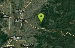
Catamount Trail
Sublimity, Oregon
5.5 miles NEStraight forward uphill road on lookout mountain/ house road. Actual trail is newer single track. Roots and some technical in spots. MTB specific but hikers allowed, no equestrian....
Mountain Bike

Rabbit Hole
Gates, Oregon
16.1 miles ERelatively new multi use trail, which doesn't see a lot of use. Can get a little choppy from horses.
Mountain Bike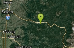
Monument Peak Trails
Gates, Oregon
16.1 miles EJust a few miles south of Gates, is the Monument Peak Trail System. Hikers, mountain bikers, and horse back riders will enjoy approximately 19 miles of single track trail in the...
Mountain Bike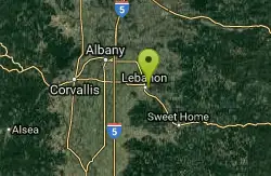
Lebanon Dikes
Lebanon, Oregon
19.6 miles SWThe "Dikes" trails on the east side of Lebanon, Oregon roll along the western bank of the South Santiam River. The trails have existed for many generations, and offer approximately 2.5...
Mountain Bike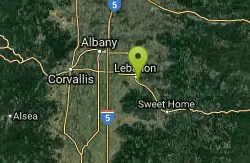
Cheadle Lake Trails
Lebanon, Oregon
20.7 miles SCheadle Lake has undergone some recent improvements, and the trails that were until recently clogged with blackberries and assorted brush are now clear and rideable. It's a lot of fun...
Mountain Bike
Molalla River Recreation Corridor
Molalla, Oregon
22.1 miles NEThere are several rides at the Hardy Creek trail head. Deerskull is steep and singletrack. Rim trail is sweet. The huckleberry trail is the main trail and all side trails branch from...
Mountain Bike
Opal Creek
Lyons, Oregon
23.4 miles EStarting from the gate at the parking area it is about 3.5 miles to get to Opal Pool. There is a slight uphill climb along the way but nothing too difficult. The "trail" is a private...
Mountain Bike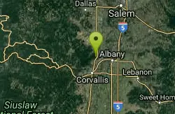
Rd 500 to Powder House Summit
Corvallis, Oregon
26.5 miles WFollow Rd 500 signs up the gravel road to the flat "top" near Powder House trail. This is the junction of Rd's 500 (Nettleton Rd), 560, 580 (Davies Rd) and 582. Continue to the left,...
Mountain Bike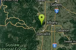
High Horse
Corvallis, Oregon
29.8 miles Wepic
Mountain Bike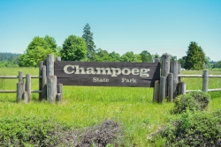
Champoeg State Park
Saint Paul, Oregon
32.1 miles NChampoeg State Park (commonly pronounced SHAM-poo-EE) is a historic pioneer site as well as a beautiful outdoor recreational area. The Native Americans originally pronounced it CHAM-po-EGG, but it...
Camp, Disc Golf, Hike, Mountain Bike
Dan's Trail
Corvallis, Oregon
32.4 miles SWMcDonald Dunn Forest offers and incredible variety of terrain, ranging from short and steep, to long and rolling. Dans' Trail, is one of the newer trails to be added to the area. It is...
Mountain Bike
Dimple Alt Face
Corvallis, Oregon
32.4 miles SWOff the face from the top of Dimple
Mountain Bike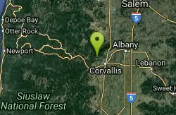
Mcdonald / Dunn Forests
Corvallis, Oregon
32.4 miles SWMcDonald Forest Maps are sometimes available at these locations. Rides can vary from easy to pretty technical. There are other starting points that require more knowledge of the area...
Mountain Bike
Extendo Trail
Corvallis, Oregon
32.4 miles SWExtendo Trail is a fast paced mountain biking trail in Corvallis. It descends downhill through the root-laden terrain and opens up into a small valley once you reach the end of the descent....
Mountain Bike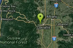
Bald Hill Park And Fitton Green
Corvallis, Oregon
32.9 miles SWTrails are closed to bikes and horses mid oct. to mid april. there are paved, and some easy flat gravel trails on the lower section of park. there are a couple horse trails that were a...
Mountain Bike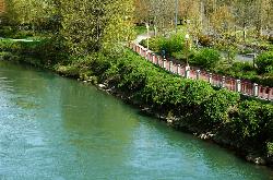
Willamette River Trail
Canby, Oregon
33.4 miles NThe Willamette River trail is a mix of both paved and natural surface trails. It is a relatively flat trail that would be perfect if you want to take a leisurely bike ride and you're not up...
Hike, Mountain Bike
Burma Peak System
Dallas, Oregon
34.9 miles WRide up until there is a fork and no obvious way to go. Directly ahead an a little to the right is a trial labeled Gonzo take that down then climb back up the road you just rode next...
Mountain Bike
Blackrock Freeride Trails
Falls City, Oregon
37.7 miles WBlackrock is a mountain bike only trail system (with wooden/dirt stunts, but all with bypasses so this is XC, DH, as well as FR friendly!). There's dozens of ways to enjoy 'em...
Mountain Bike
Cooks Butte
Lake Oswego, Oregon
41.3 miles Njust a few trails that go through some nice forest right in the middle of Lake Oswego. hikers that go through there are fairly tolerant and don't ever say anything. Fun downhill to the...
Mountain Bike


