


3 Hiking Trails near Worcester, Massachusetts
first prev 1 next lastShowing Hiking Trails within 50 miles Distance miles of Worcester, MA, USA City, Zip, or Address
Add Location
Jerimoth Hill
Foster, Rhode Island
28.6 miles SJerimoth Hill (812 ft, 247 m) is the highest point in the U.S. state of Rhode Island. Located in the town of Foster near Providence, the site is used as an observatory. It is also a popular...
Hike 2.1 mi
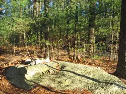
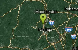
Wildcat Falls
Merrimack, New Hampshire
44.1 miles NCLOSED. THIS location has been closed until further notice. Effective June 26th, 2020 due to illegal activities and trail damage. Wildcat Falls Conservation Area contains 87 acres of managed...
Cross-country Ski, Dive, Hike, Mountain Bike, Snowshoe, Swim
Windsor Locks Canal Trail
Suffield, Connecticut
45.4 miles SWThe 4.5 mile Windsor Locks State Park Canal Trail follows the historic towpath of this 170 plus year old historic waterway. The canal’s many vantage points offer the trail user scenic vistas...
Hike, Mountain Bike


