Map of 7 Hiking Trails near Three Rivers, California
first prev 1 next lastShowing Hiking Trails within 50 miles Distance miles of Three Rivers, CA 93271, USA City, Zip, or Address
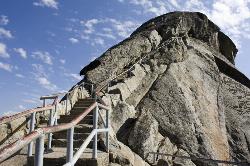
Moro Rock
Tulare, California
10.7 miles NEHike through the mountains of Sequoia National Park and you will come to Moro Rock, which offers views of the Great Western Divide. With 400 laddered stpes, you will feel like you are standing on...
Hike, Rock Climb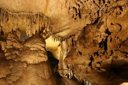
Crystal Cave
Three Rivers, California
11.0 miles NEThough Sequoia National Park is known for its famous trees and beautiful mountains, it also is well known for its caves. Many of California's caves that are over a mile long can be found in...
Hike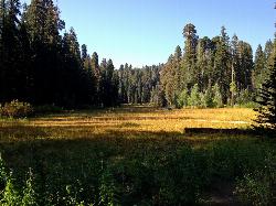
Crescent Meadow in Sequoia National Park
Sequoia National Park, California
11.8 miles NECrescent Meadows is a gentle and easy hiking area, making it perfect for families. Inside the meadow area, visitors will see many of the large Sequoias and Redwoods, as well as a variety of...
Camp, Hike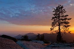
Sequoia National Park
Sequoia National Park, California
12.9 miles NEWalk through the park and you will feel like an ant as the Giant Sequoia trees tower over you. When people think of Sequoia National Park, they immediately think of the trees the park gets its...
Backpack, Camp, Hike, Rock Climb, Swim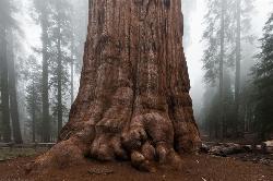
General Sherman Tree in Sequoia National Park
Three Rivers, California
13.0 miles NEWithin Sequoia National Park, the biggest attraction is General Sherman, the world's largest tree. It is believed that the tree is about 2,000 years old, and was named after the Civil War...
Hike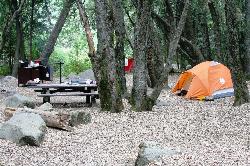
Hidden Falls Campground
Springville, California
18.3 miles SEHidden Falls Campground is a small walk-in campground that is situated along the side of the Tule River. The drive to the campground is quite scenic. After you pass through the town of Springville...
Camp, Hike, Swim
Monache mountain
Inyokern, California
42.8 miles SEMonache Mountain is a 9,367 ft / 2,855 m mountain peak near Lone Pine, California, United States. Based on peakery data, it ranks as the 682nd highest mountain in California and the 5590th highest...
Camp, Hike, Mountain Bike


