Map of 5 Hiking Trails near Simsbury, Connecticut - Free Arenas
Simsbury, CT, USA
41.8540094, -72.827915
Add Location

Embed Search

Place this code in your website's html where you'd like to see these results.

Where do you plan to embed this code?

<script src="https://www.freearenas.com/embed/s069"></script>

Want to customize this plugin? Copy Code Snippet

Map of 5 Hiking Trails near Simsbury, Connecticut

first prev 1 next last

Showing Hiking Trails within 50 miles Distance miles Go of Simsbury, CT, USA City, Zip, or Address Go

Add Location

Metacomet Trail

East Granby, Connecticut

7.9 miles NE

The Metacomet Trail is a 62.7-mile Blue-Blazed hiking trail that traverses the Metacomet Ridge of central Connecticut and is a part of the newly designated 'New England National Scenic...

Hike, Mountain Bike

hike Hiking Trail

mountain bike Mountain Bike Trail

Windsor Locks Canal Trail

Suffield, Connecticut

14.7 miles NE

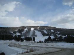
The 4.5 mile Windsor Locks State Park Canal Trail follows the historic towpath of this 170 plus year old historic waterway. The canal’s many vantage points offer the trail user scenic vistas...

Hike, Mountain Bike
hike Hiking Trail

mountain bike Mountain Bike Trail

Mohawk Mountain State Park

Cornwall, Connecticut

24.6 miles W

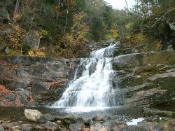
mostly logging roads, can be ridden rigid. Climb to the top of mohawk mountain and back down. Lots more to be explored, this is a good 15 miles and 1.5 hours of riding.1) at the dead end first road...

Cross-country Ski, Hike, Mountain Bike
hike Hiking Trail

mountain bike Mountain Bike Trail

cross-country ski Cross Country Ski Trail

Kent Falls State Park

Kent, Connecticut

30.9 miles W

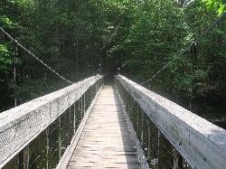
Per the CT Dept of Energy and Environmental Protection: When the parking lot has reached capacity, the park is closed. It will reopen when the lot has 10 available spaces. Please note that there is...

Hike
hike Hiking Trail

Steep Rock

Washington, Connecticut

32.3 miles SW

From Judd's Bridge, follow the road towards Washington and Steep Rock, go straight on the road that is perpendicular to the bridge. Follow it up into a curve and on the left there is a house with...

Hike, Mountain Bike

hike Hiking Trail

mountain bike Mountain Bike Trail

Look Further
×
loading...

Edit Your Experience

Log Your Visit to This Location

We've logged that you went. Is there anything else you want to add?

Thank you for your review/comment

We've recorded your comments. Is there anything else you want to add?

By recording your visit on FreeArenas.com, you'll have a collection of all the great places you've been and provide valuable information for yourself and others in the future.

Have you been to this location?

/5
Cancel

Donate to the Cause

Help us inspire and inform every person to enjoy life and the great outdoors in a responsible way. There's a lot of ways to do this. Here's a few ways we're working on our mission right now: Providing information, Building and maintaining local trails, Helping and teaching kids to fix their bikes, Cleaning up local parks to provide safe and clean places to enjoy nature. Learn More

Update Review

/5

New Collection

Add an Arena

Just some quick info about this location to get started...