Map of 5 Hiking Trails near San Antonio, Texas
first prev 1 next lastShowing Hiking Trails within 50 miles Distance miles of San Antonio, TX, USA City, Zip, or Address

Landa Park
New Braunfels, Texas
29.4 miles NELanda Park is a 50-acer, beautiful respite for locals and visitors alike. With its many uniquely charming attractions, this park is a place you will want to visit and revisit many times...
Hike, Swim 0.2-2.0 mi
Guadalupe River State Park
Spring Branch, Texas
30.7 miles NGuadalupe River State Park is a wonderful place to enjoy the beautiful Guadalupe River and the land around it. The park has over 4 miles of river front where visitors can enjoy swimming,...
Canoe, Hike, Horseback, Kayak, Mountain Bike, Swim
Blanco State Park
Blanco, Texas
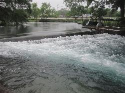
46.2 miles NBlanco State Park is a unique little park on the Blanco River. This spring fed swimming hole is created by a multi level rectangular damn in the River. The water cascades over the unique angles...
Camp, Canoe, Hike, Kayak, Swim
San Marcus City Park
San Marcos, Texas
46.2 miles NESan Marcus City Park is a popular cool off spot on the San Marcus River. This beautiful clear river is surrounded by lush greenery, giving beautiful views to those who walk the trails of this 18 acre...
Canoe, Hike, Kayak, Mountain Bike, Swim
Blue Hole at Wimberley
Wimberley, Texas
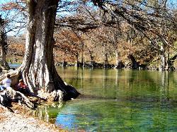
46.8 miles NEBlue Hole Regional Park is a beautiful forested spot that has been preserved by the City of Wimberley and is a popular destination for locals. The clear blue water and spectacular cypress trees make...
Hike, Swim


