14 Hiking Trails near Pleasanton, California
first prev 1 next lastShowing Hiking Trails within 50 miles Distance miles of Pleasanton, CA, USA City, Zip, or Address
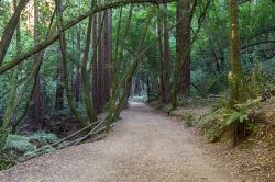
East Ridge Trail
Oakland, California
17.6 miles NWThis trail is deeply tucked away up into the hills of Oakland. East Ridge is the perfect trail to deeply appreciate the beauty of the Redwoods and has many entry points. This trail weaves...
Hike 0.5-0.6 mi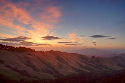
Grizzly Peak Trail
Berkeley, California
25.0 miles NWGrizzly Peak Trail is located near La Loma Park in the Berkeley Hills section of the city of Berkeley, California and leads to an incredible lookout of the San Francisco Bay area....
Hike, Mountain Bike
Auburn Area
San Francisco, California
31.6 miles WAlongside of the North Fork of the American River in the Auburn State Recreation Area, there are several swimming holes. Located at Emigrant Gap in the Tahoe National Forest, the North...
Hike, Horseback, Kayak, Rock Climb, Swim, Whitewater 0.1-0.6 mi
Mt. Sutro Open Space Reserve
San Francisco, California
32.5 miles WMount Sutro Open Space Reserve is a 61-acre ecological oasis in the heart of San Francisco, just south of UCSF's Parnassus Heights campus. UCSF is committed to maintaining the Reserve as a safe...
Hike, Mountain Bike
Half Moon Bay State Beach
Half Moon Bay, California
34.2 miles SWHalf Moon Bay State Park's Coastside Trail runs parallel to the Pacific Coast along what used to be the Ocean Shore Railroad. The railroad itself was in operation for just 14 years before it was...
Camp, Hike, Horseback, Swim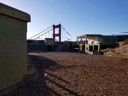
Battery Spencer
Mill Valley, California
35.2 miles WThis is easily one of the best places to view the Golden Gate Bridge. For over half a century, this was one of the most strategically important sites guarding the Golden Gate. Completed in 1897,...
Hike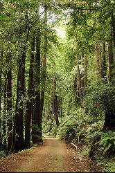
Pescadero Creek Trail Area
Loma Mar, California
35.2 miles SWPerfect for all redwood lovers, the Pescadero Creek Park area is an incredible shady trail for a hike on a hot summer day. This is a great place to escape from city sounds and enjoy...
Hike, Horseback, Mountain Bike, Swim
Henry Coe State Park Campground
Morgan Hill, California
37.6 miles SEHenry W. Coe State Park is primarily a wilderness park. Spring is the most popular time of year to visit with fabulous displays of wildflowers. Camping is permitted all year. There are numerous...
Camp, Hike, Horseback, Mountain Bike
China Hole
Morgan Hill, California
39.7 miles SEThis moderately strenuous hike takes you to the site of an old mineral springs resort and to the park's most popular swimming hole, a mile farther along. Madrone Soda Springs Resort was a small...
Camp, Hike, Swim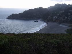
Muir Beach
Muir Beach, California
40.6 miles WMuir Beach is a little gem nestled away in the hills North of San Francisco, not far from the Muir Woods National Monument. There's a great beach and an entire network of trails. To get to the...
Hike, Swim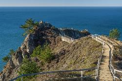
Muir Beach Overlook
Muir Beach, California
41.2 miles WHike near Muir Beach, California
Hike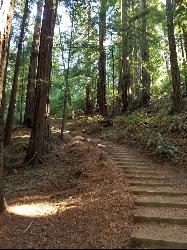
Muir Woods National Monument
Mill Valley, California
41.6 miles NWThere are several suggested hikes on the main trail leaving from the visitors center. The longest, a loop, is about 2 miles. It is the only one that leaves the boardwalk. It has some elevation...
Hike
Garden of Eden
Felton, California
45.2 miles SA great swimming hole in the Santa Cruz moutains of California, the Garden of Eden lives up to its name. This swimming hole is popular among all ages and offers beaches perfect for sunbathing and...
Hike, Swim
Cosumnes River Preserve
Galt, California
47.9 miles NEThe Cosumnes River Preserve consists of approximately 45,859 acres of wildlife habitat and agricultural lands owned by seven land-owning Partners. The Partners include The Nature Conservancy,...
Canoe, Hike


