Map of 13 Hiking Trails near Littlefield, Arizona
first prev 1 next lastShowing Hiking Trails within 50 miles Distance miles of Littlefield, AZ 86432, USA City, Zip, or Address
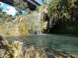
Little Jamaica aka Desert Springs
Littlefield, Arizona
0.8 miles NELittle Jamaica is a warm springs waterfall and pool just off the highway between Desert Springs and Littlefield, Arizona. It's a family location that doesn't get more than 5 feet deep in the...
Hike, Swim 0.5-15.1 mi
Green Valley Trail System
St. George, Utah
20.2 miles NEThe Green Valley trail system, located just outside of St. George, Utah, is a heavily trafficked trail system that features some of the more popular trails in Southern Utah. With trails such as the...
Hike, Mountain Bike 0.3 mi
Dixie Sugarloaf / Dixie Rock
St. George, Utah
25.0 miles NEHike near St. George, Utah
Hike 0.1 mi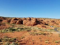
St. George Narrows
St. George, Utah
25.1 miles NENot to be confused with the Narrows of Zion National Park, the St. George Narrows, also referred to by locals as the "Crack", are located near downtown St.George, Utah just a...
Hike 0.2-0.4 mi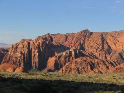
Snow Canyon State Park
St. George, Utah
27.0 miles NESnow Canyon State park is often described as a smaller version of Zion National park. While both offer similar beautiful landscapes, exciting trails for adventure seeking hikers, and family friendly...
Cave, Hike, Mountain Bike, Rock Climb 0.7 mi
Snow Canyon Lava Caves
St. George, Utah
28.1 miles NEThese caves are located in Snow Canyon State Park near Dammeron Valley in Utah and it's one of the most unique places in southern Utah. Years ago, lava flowed through these caves until...
Cave, Hike 11.3 mi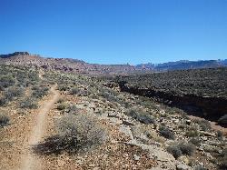
Grapevine Trail
Washington, Utah
30.2 miles NEThe Grapevine trail located near Washington, UT is a unique trail that connects to several other trails in the area such as the Prospector trail and the Church Rocks trail. What makes the Grapevine...
Hike, Mountain Bike 18.8 mi
Church Rocks
Washington, Utah
30.3 miles NEThe Church Rocks hike near Hurricane, Utah, about a half hour outside of St. George, is another hidden gem outside of Zion National Park. Similar to the Slick Rock Trail in Moab, there are lots...
Hike, Mountain Bike 0.7 mi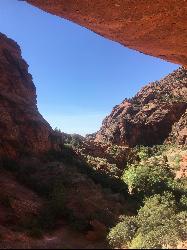
Red Reef trail
Hurricane, Utah
37.0 miles NEThe Red Reef trail is located near the small town of Leeds, Utah and in the Red Cliffs Desert Reserve. It is a 2 mile trail that takes hikers near the beautiful red slick rock cliffs of Southern...
Hike 3.4 mi
More Cowbell
Virgin, Utah
41.7 miles NEThe More Cowbell loop, located outside of Hurricane, Utah, is a beginner level bike trail that gives riders a good feel for what mountain biking is like. It is a great practice run for bigger, more...
Hike, Mountain Bike 5.1 mi
Dead Ringer
Virgin, Utah
41.7 miles NEThe Dead Ringer trail is one of three biking trails located just outside of Hurricane, Utah. Starting at the JEM trailhead, bikers start on a winding, up and down trail that runs parallel to the JEM...
Hike, Mountain Bike 6.9 mi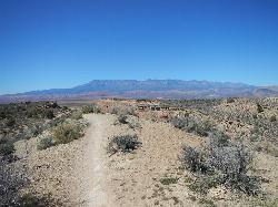
J.E.M. Trail
La Verkin, Utah
44.9 miles NEThe J.E.M. trail is one of the many exciting trails located just outside of Hurricane, Utah. It is connected with the More Cowbell and Dead Ringer trails and is the longest of all three trails...
Hike, Mountain Bike 11.6 mi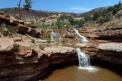
Toquerville Falls
La Verkin, Utah
47.1 miles NENothing says desert oasis quite like driving for 5.5 miles through winding sandy roads to find a favorite swimming hole with ledges, falls, and even a ladder to climb up to the best jumping spots....
Dive, Hike, Mountain Bike, Swim


