Map of 7 Hiking Trails near Lebanon, Oregon
first prev 1 next lastShowing Hiking Trails within 50 miles Distance miles of Lebanon, OR 97355, USA City, Zip, or Address

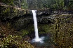
Silver Falls State Park
Sublimity, Oregon
26.6 miles NESilver Falls State Park is a forested canyon that features 10 amazing waterfalls throughout the park. It is the largest state park in Oregon and one of the most popular, both nationally and...
Camp, Hike, Horseback, Swim
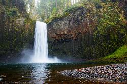
Abiqua Falls
Scotts Mills, Oregon
31.9 miles NEThis rough hiking trail will be well worth your effort and time. Although the trail is unmarked, there is a rope to steady yourself on the steep parts of the hike and guide you through the...
Hike
Mount Pisgah
Eugene, Oregon
36.7 miles SMount Pisgah is a summit in Willamette Valley. It is a popular place for hiking, walking, and trail running because of how close it is to the city of Eugene and Springfield. The non-profit...
Hike
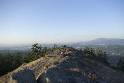
Spencer Butte
Eugene, Oregon
39.4 miles SIn need of a nearby hiking fix? Spencer Butte is the perfect place to get away from the city of Eugene and into the forest. Spencer Butte is a prominent landmark in Lane County, Oregon. It is...
Hike
Tamolitch (Blue) Pool
Mount Washington, Oregon
46.2 miles EThe Tamolitch Pool, also known as the Blue Pool, is the one and only pool of its kind in Oregon. The name "Tamolitch", meaning 'bucket', was given to this gorgeous basin by the...
Hike
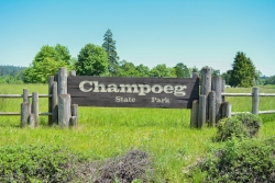
Champoeg State Park
Saint Paul, Oregon
49.2 miles NChampoeg State Park (commonly pronounced SHAM-poo-EE) is a historic pioneer site as well as a beautiful outdoor recreational area. The Native Americans originally pronounced it CHAM-po-EGG, but it...
Camp, Disc Golf, Hike, Mountain Bike
Eagle Rest
Lowell, Oregon
49.3 miles SJust west of the Tooth Rock Viaduct, there's a one-car sized turnout on the guard rail. Lancaster designed this as part of the original road and he called it the Eagle's Nest. Originally the...
Canoe, Hike, Mountain Bike


