


Map of 3 Hiking Trails near Lake Geneva, Wisconsin
first prev 1 next lastShowing Hiking Trails within 50 miles Distance miles of Lake Geneva, WI 53147, USA City, Zip, or Address
Add Location
Gander
Antioch, Illinois
14.0 miles SEWithin this 301-acre preserve is Lake County's highest natural elevation. Gander Mountain tops out at 957 feet above sea level. The site's 125-foot hill is the result of deposits left from...
Hike
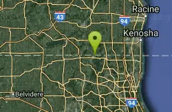
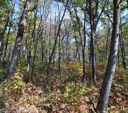
Emma Carlin Trail
Whitewater, Wisconsin
20.1 miles NThis trail system, on County Highway Z just south of State Highway 59, goes through a hardwood forest with mostly hilly terrain. Three color coded trails ranging from 3.5 to 8 miles. Parking,...
Cross-country Ski, Hike, Mountain Bike, Snowshoe
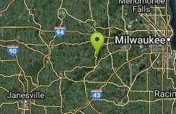
Kettle Morain South Trail Head
Dousman, Wisconsin
23.8 miles NThe John Muir Trails combined with the Emma Carlin Trails via a connector trail system offers over 30 miles of connected mostly single-track trails in the Southern Unit of Kettle Moraine State...
Camp, Cross-country Ski, Hike, Swim


