Map of 6 Hiking Trails near Fuller, Idaho
first prev 1 next lastShowing Hiking Trails within 50 miles Distance miles of Fuller, ID 83330, USA City, Zip, or Address

Little City of Rocks
Gooding, Idaho
14.9 miles NENot to be confused with the City of Rocks National Reserve, Little City of Rocks is located near Gooding, Idaho. There are two portions to the area, the Little City of Rocks and the Gooding City...
Camp, Hike
Perrine Bridge
Jerome, Idaho
29.5 miles SEPerrine Bridge is located just above the Snake River. It spans 1,500ft, and is 486ft above the Snake River. You can drive over this bridge on the way back from Boise, or get out, park, and take...
Hike
Shoshone Falls Park
Twin Falls, Idaho
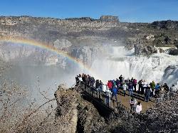
31.6 miles SEThe view of Shoshone Falls is beautiful year round but it is simply breathtaking during spring runoff when the water levels are high and they roar so hard you can feel the mist hundreds of feet...
Hike
Indian Springs
Kimberly, Idaho
42.7 miles SEMulti-use trail system in south of Kimberly / Twin Falls, Idaho. Used for Mountain Biking, Hiking, and Horseback Riding.
Hike, Hot Springs, Mountain Bike
Bruneau Dunes
Bruneau, Idaho
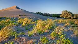
45.2 miles WBruneau Dunes State Park is home to the tallest single structure sand dune in North America, standing 470 ft above small lakes and campgrounds. The park itself is home to a wide variety of...
Camp, Canoe, Hike, Horseback 3.4 mi
Skillern Hot Springs
Fairfield, Idaho
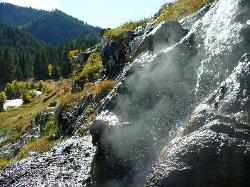
49.7 miles NSkillern hot spring is located in Fairfield, Idaho. It is a stunning six mile hike. The trail to Skillern hot spring follows the beautiful Big Smoky Creek, which gives life to the forest. Big Smoky...
Camp, Hike, Hot Springs


