Map of 5 Hiking Trails near Eugene, Oregon
first prev 1 next lastShowing Hiking Trails within 50 miles Distance miles of Eugene, OR, USA City, Zip, or Address

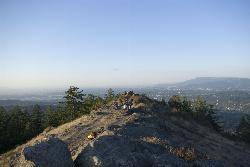
Spencer Butte
Eugene, Oregon
4.8 miles SIn need of a nearby hiking fix? Spencer Butte is the perfect place to get away from the city of Eugene and into the forest. Spencer Butte is a prominent landmark in Lane County, Oregon. It is...
Hike
Mount Pisgah
Eugene, Oregon
6.1 miles SEMount Pisgah is a summit in Willamette Valley. It is a popular place for hiking, walking, and trail running because of how close it is to the city of Eugene and Springfield. The non-profit...
Hike
Eagle Rest
Lowell, Oregon
24.6 miles SEJust west of the Tooth Rock Viaduct, there's a one-car sized turnout on the guard rail. Lancaster designed this as part of the original road and he called it the Eagle's Nest. Originally the...
Canoe, Hike, Mountain Bike
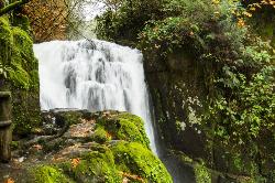
Beaver Creek Falls
Mapleton, Oregon
40.8 miles WThe Beaver Falls Trail is one of these rare spots for an outing in Columbia County. On the way, you can also visit Upper Beaver Falls, not spectacular, but a very pretty roadside attraction. As you...
Hike 1.9 mi
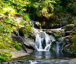
Sweet Creek Falls
Mapleton, Oregon
41.1 miles WSuperbly family friendly, this collection of small waterfalls enhances a shady hiking trail with fun bridges and metal walkways skirting the creek. Delightful year-round! In this Coast Range...
Hike


