Map of 6 Hiking Trails near Burley, Idaho
first prev 1 next lastShowing Hiking Trails within 50 miles Distance miles of Burley, ID, USA City, Zip, or Address

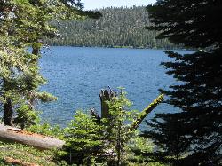
Independence Lakes
Elba, Idaho
22.9 miles SThe Independence Lakes hike is a 7.7 mile hike that gets progressively better the farther you go. At the summit of Mt. Independence, you will get a birds eye view of four beautiful jewel tone...
Backpack, Camp, Canoe, Hike, Kayak, Swim
Castle Rocks State Park
Almo, Idaho
28.2 miles SNeighboring the popular climbing area City of Rocks, Castle Rock is a beautiful state park with plenty to do. This park opened to the public in 2003 and offers many additional climbing and hiking...
Camp, Hike, Rock Climb
Indian Springs
Kimberly, Idaho
30.3 miles WMulti-use trail system in south of Kimberly / Twin Falls, Idaho. Used for Mountain Biking, Hiking, and Horseback Riding.
Hike, Hot Springs, Mountain Bike
Shoshone Falls Park
Twin Falls, Idaho
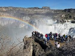
31.2 miles WThe view of Shoshone Falls is beautiful year round but it is simply breathtaking during spring runoff when the water levels are high and they roar so hard you can feel the mist hundreds of feet...
Hike
City of Rocks National Reserve
Malta, Idaho
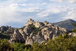
32.0 miles SThe City of Rocks, or "The City" as locals call it, is one of the best places in the country to go rock climbing. Throughout the valley granite spires dominate the skyline, reaching...
Camp, Hike, Horseback, Mountain Bike, Rock Climb
Perrine Bridge
Jerome, Idaho
33.9 miles WPerrine Bridge is located just above the Snake River. It spans 1,500ft, and is 486ft above the Snake River. You can drive over this bridge on the way back from Boise, or get out, park, and take...
Hike


