Map of 6 Hiking Trails near Bothell, Washington
first prev 1 next lastShowing Hiking Trails within 50 miles Distance miles of Bothell, WA, USA City, Zip, or Address

Blake Island
Port Orchard, Washington
20.3 miles SWNestled between Bainbridge Island and Vashon Island, the 476-acre island once was privately owned and then in 1974 became Blake Island State Park. Blake Island is a favorite location for kayaking,...
Camp, Hike 1.5 mi
Twin Falls Trail
North Bend, Washington
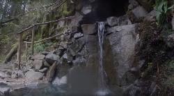
32.2 miles SEDuring this three mile hike, you'll be trekking near the river. You will be surrounded by the peaceful sound of rushing water. About a mile and a half into the hike, you will arrive at...
Hike 5.4 mi
Middle Fork Snoqualmie Trail
North Bend, Washington
34.4 miles SECLOSED. Closed due to landslide activity.
Hike, Mountain Bike
island lake
North Bend, Washington
39.4 miles SEIf you want to shed the crowds while still exploring the wonderful routes of the western Snoqualmie Pass region, this might be the destination to consider. Sure, you'll have to share the first...
Camp, Hike, Swim
Granite Mountain
North Bend, Washington
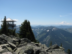
41.8 miles SEThis hike up Granite Mountain comes with a steep price, so be prepared for a good climb to the top. Elevation gain is about 1,000 ft per mile, and should be done by those who are in good shape to...
Backpack, Hike 7.0 mi
Goldmyer Hot Springs Trail
North Bend, Washington
42.4 miles SEGoldmyer Hot Springs Trail is a difficult hiking trail up to the famous Goldmyer Hot Springs. The hike is free to access and great for those who want to enjoy a remote hiking...
Hike, Hot Springs


