7 Hiking Trails near Toll Canyon
first prev 1 next lastShowing Hiking Trails within 50 miles Distance miles of Continental Divide Trail, Butte, MT 59701, USA City, Zip, or Address

Canyon Creek Charcoal Kilns
Melrose, Montana
24.1 miles SWIn 1875, a 40-ton smelter was built, producing nearly one million ounces of silver and thousands of tons of lead and copper annually. Unfortunately, the district was hit hard when the Sherman Silver...
Hike 1.0 mi
Lewis & Clark Caverns
Whitehall, Montana
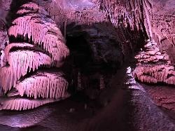
27.1 miles EThe Lewis & Clark Caverns State Park encompasses 3,015 acres that you can explore by foot, on a bike, in a canoe or in a tent. The most famous feature of the park is the Lewis & Clark...
Camp, Canoe, Cave, Hike, Mountain Bike 0.4-3.9 mi
Lewis & Clark Caverns Trails
Whitehall, Montana
28.1 miles ELewis & Clark Caverns State Park is a 3,000-acre park with over 10 miles of trails open to hikers and mountain bikers. It is easy to be one with nature as you explore these adventurous trails....
Hike, Mountain Bike
Lake Agnes
Glen, Montana
30.4 miles SWAgnes Lake Trail (122) is located in the Pioneer Mountains. The trail begins on the east side of Brownes Lake at the State campground and ends 0.5 mile east of Long Branch Lake on Willow Creek Road....
Camp, Hike, Mountain Bike
Minneopa Lake
Polaris, Montana
40.9 miles SWThis is a beautiful short hike that is easily the start of a great trip between several lakes or just a nice easy kid hike. Length: .25 mile (.5 mile roundtrip)
Backpack, Camp, Hike
Spring Hill Campground and Picnic Area
Anaconda, Montana
41.0 miles NWSpringhill Campground is located in Beaverhead-Deerlodge National Forest in southwestern Montana. Warm Springs Creek runs right next to the campground is popular among anglers who commonly catch...
Camp, Hike, Horseback, Mountain Bike, Swim 0.6 mi
Pintler Falls
Wise River, Montana
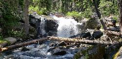
48.2 miles WHike near Wise River, Montana
Hike


