


5 Hiking Trails near Regency Community Park
first prev 1 next lastShowing Hiking Trails within 50 miles Distance miles of 5530 Jerry Litell Way, Sacramento, CA 95835, USA City, Zip, or Address
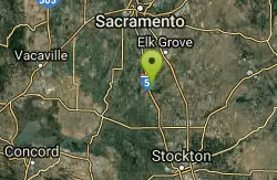
Cosumnes River Preserve
Galt, California
28.6 miles SThe Cosumnes River Preserve consists of approximately 45,859 acres of wildlife habitat and agricultural lands owned by seven land-owning Partners. The Partners include The Nature Conservancy,...
Canoe, Hike 1.2-2.7 mi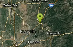
Lake Clementine Trail Loop
Auburn, California
30.0 miles NELocated in Auburn, California, Lake Clementine Trail Loop is a hike along the North Fork American River is an easy to moderate trail with an elevation gain of 785 ft. It's wheelchair...
Camp, Canoe, Hike, Kayak, Mountain Bike, Swim 5.6 mi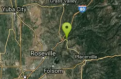
Quarry Trail
Cool, California
30.5 miles NEThis is a hike along the river and an old, historic railway. The trail leads you to a a beautiful amphitheater carved from limestone.You are surrounded by beautiful nature and peaceful...
Hike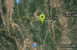
Sutter National Wildlife Refuge
Meridian, California
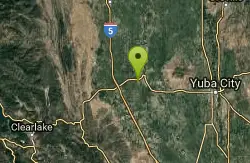
31.4 miles NWSutter National Wildlife Refuge, the southern-most refuge in the Sacramento Refuge Complex, is located in the Sacramento Valley of California, about 50 miles north of the metropolitan area of...
Hike
Colusa National Wildlife Refuge
Colusa, California
45.9 miles NWColusa National Wildlife Refuge is one of five refuges in the Sacramento Refuge Complex located in the Sacramento Valley of north-central California. The refuge is about 70 miles north of the...
Hike


