Map of 6 Hiking Trails near Aptos, California
first prev 1 next lastShowing Hiking Trails within 50 miles Distance miles of Aptos, CA 95003, USA City, Zip, or Address

Natural Bridges State Park / Monarch Butterfly Trail
Santa Cruz, California
8.8 miles WThis trail is perfectly tucked away from the business of Santa Cruz. Monarch butterflies, during the Winter, fly here to stay warm. As you walk through the Monarch Grove, you will see trees...
Hike
Garden of Eden
Felton, California
9.3 miles WA great swimming hole in the Santa Cruz moutains of California, the Garden of Eden lives up to its name. This swimming hole is popular among all ages and offers beaches perfect for sunbathing and...
Hike, Swim
Henry Coe State Park Campground
Morgan Hill, California
24.3 miles NEHenry W. Coe State Park is primarily a wilderness park. Spring is the most popular time of year to visit with fabulous displays of wildflowers. Camping is permitted all year. There are numerous...
Camp, Hike, Horseback, Mountain Bike
China Hole
Morgan Hill, California
26.1 miles NEThis moderately strenuous hike takes you to the site of an old mineral springs resort and to the park's most popular swimming hole, a mile farther along. Madrone Soda Springs Resort was a small...
Camp, Hike, Swim
Pescadero Creek Trail Area
Loma Mar, California
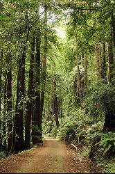
29.6 miles NWPerfect for all redwood lovers, the Pescadero Creek Park area is an incredible shady trail for a hike on a hot summer day. This is a great place to escape from city sounds and enjoy...
Hike, Horseback, Mountain Bike, Swim
Half Moon Bay State Beach
Half Moon Bay, California
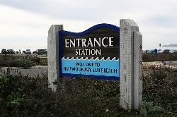
45.2 miles NWHalf Moon Bay State Park's Coastside Trail runs parallel to the Pacific Coast along what used to be the Ocean Shore Railroad. The railroad itself was in operation for just 14 years before it was...
Camp, Hike, Horseback, Swim


