Map of 17 Backpacking Trails near Swan Valley, Idaho
first prev 1 next lastShowing Backpacking Trails within 50 miles Distance miles of Swan Valley, ID, USA City, Zip, or Address

Palisades Creek Trail / Lakes and Waterfall Canyon
Irwin, Idaho
7.6 miles SEPalisades Creek Trail is located about 50 miles southeast of Idaho Falls and about 60 miles west of Jackson Hole WY in Swan Valley Idaho. The four mile hike up to lower Palisades Lake or the 6.2 mile...
Backpack, Camp, Hike, Horseback, Mountain Bike 3.9 mi
Little Elk Creek Trail
Irwin, Idaho
12.8 miles SEBackpack, Hike, Horseback, and Mountain Bike near Irwin, Idaho
Backpack, Hike, Horseback, Mountain Bike 13.2-13.5 mi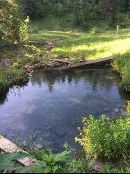
Bear Creek Hot Springs
Irwin, Idaho
13.6 miles SEBear Creek Hot Springs is a 15 mile out and back trail with a hot spring at the end. The trail is not well marked and is only recommended for very experienced outdoorsmen and primarily used for...
Backpack, Camp, Hike, Horseback, Hot Springs, Mountain Bike 13.8 mi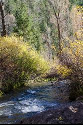
Big Elk Creek
Irwin, Idaho
14.6 miles SEBig Elk Creak Campground is a very versitile campground with plenty of activities to keep busy. Campgrounds are available, with three group sites that include picnic tables and campfire rings. There...
Backpack, Camp, Canoe, Hike, Horseback, Kayak 0.1-6.2 mi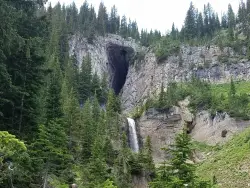
Darby Wind Cave
Driggs, Idaho
24.5 miles NEDarby Wind Cave is a beautiful hike full of waterfalls, wildflowers, streams, and mountainous views. The sites you see will depend on the time of year you visit but it will always be beautiful and...
Backpack, Cave, Hike, Rock Climb 15.0-18.4 mi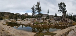
Alaska Basin
Driggs, Idaho
29.7 miles NEThe Alaska Basin Trail is a stunning trail through the Jedediah Wilderness near Driggs, Idaho and goes East into Wyoming, just outside of Grand Teton National Park. The trail is wide...
Backpack, Hike, Horseback 7.9 mi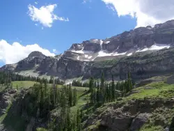
Devil's Stairs
Driggs, Idaho
29.7 miles NEJust to the West of Table Rock is this often overlooked trail less traveled by, full of beautiful meadows and beautiful views all its own. The trail begins from the same campsite as the Table Rock...
Backpack, Hike 1.3-4.3 mi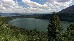
Phelps Lake
Jackson, Wyoming
30.8 miles NEThe Phelps Lake trail, located in Teton National Park, Wyoming, is in one of the most scenic locations of the park. Usually overshadowed by nearby Jenny Lake, it can often be missed by visitors of...
Backpack, Camp, Dive, Hike, Swim 4.9 mi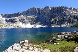
Amphitheater Lake
Alta, Wyoming
33.8 miles NEBackpack and Hike near Alta, Wyoming
Backpack, Hike 3.9-14.4 mi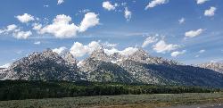
Grand Teton
Jackson Hole, Wyoming
35.6 miles NEAt 13,770 feet above sea level, the Grand Teton towers majestic over Southeastern Idaho and Western Wyoming, making it a life goal of many amateur climbers and outdoor enthusiasts. The...
Backpack, Hike, Rock Climb 13.8 mi
Middle Teton
Jackson Hole, Wyoming
35.6 miles NEAt 12,804 ft above sea level, the Middle Teton is a challenging and beautiful hike from the trailhead all the way to the peak. The first part of the trail is dirt trails through the trees. That...
Backpack, Hike, Rock Climb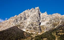
Teewinot Mountain
Jackson Hole, Wyoming
35.7 miles NEBackpack and Hike near Jackson Hole, Wyoming
Backpack, Hike 24.3 mi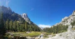
Cascade Canyon Trail
Jackson Hole, Wyoming
37.1 miles NEThis hike starts the same as the Jenny Lake trail, then after you pass the boat dock, it takes off up Cascade Canyon just to the north of Teewinot, Mount Owen, and the Grand Teton along Cascade...
Backpack, Hike 10.5-16.2 mi
Paintbrush Canyon
Alta, Wyoming
38.2 miles NEBeautiful trail along String Lake, Leigh Lake, and Lake Solitude. For even more solitude, scramble up the rocks to Micah Lake for a beautiful view and even fewer people. You won't find...
Backpack, Hike 0.1-7.3 mi
Leigh Lake
Alta, Wyoming
38.2 miles NEEnjoy the grandeur of Grand Teton National Park just a little ways off the beaten path. Leigh Lake rests underneath the majestic Mount Moran. The waters of Leigh Lake flow almost directly into String...
Backpack, Canoe, Hike, Kayak
Blue Miner Lake
Jackson, Wyoming
41.9 miles EBackpack and Hike near Jackson, Wyoming
Backpack, Hike 3.2-47.0 mi
Yellowstone Branch Line Trail
Ashton, Idaho
45.9 miles NYellowstone branch line trail runs from Warm River to the Montana border totaling 39 miles. There are a few places to jump on and off the trail as well as a few smaller trails that branch off of this...
Backpack, Cross-country Ski, Hike, Horseback, Mountain Bike


