


5 Backpacking Trails near Slate Creek Divide Loop
first prev 1 next lastShowing Backpacking Trails within 50 miles Distance miles of Nf-201, Arizona, USA City, Zip, or Address
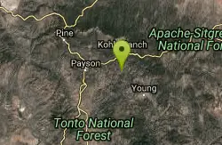
Hell's Gate
Payson, Arizona
27.5 miles NEThis Wilderness was established in 1984, and contains approximately 37,440 rough acres with a major canyon and perennial stream extending its entire length. Deep pools of water may be separated by...
Backpack, Camp, Hike, Swim 1.1-3.5 mi
Horton Springs
Payson, Arizona
33.8 miles NEHorton Springs is a spring on the Mogollon Rim that leads into Horton Creek. There are campsites near the springs, and several hiking trails in the area that lead to the spring itself. Between the...
Backpack, Camp, Hike 3.0 mi
Blodgett Basin Trail No. 31
Camp Verde, Arizona
43.6 miles NBlodgett Basin Trail is one of a select few trails that shows off the riparian desert beauty unique to West Clear Creek Wilderness. The trail stretches from Bull Pen Trailhead through the canyon and...
Backpack, Hike, Swim 16.9 mi
West Clear Creek Trail No. 17
Camp Verde, Arizona
43.7 miles NWest Clear Creek Trail No. 17 is a great way to reach the running waters of West Clear Creek. By far the most accessible and popular, it starts from the Bull Pen Ranch parking lot and winds down the...
Backpack, Hike, Swim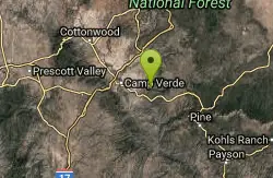
Bullpen Day Use Area
Camp Verde, Arizona
43.7 miles NBullpen has something for everyone. Whether you park here and use the trail head to start on one of several hikes that lead down West Clear Creek, or stay nearby to use the picnic areas and...
Backpack, Dive, Hike, Swim


