12 Backpacking Trails near Mono Pass
first prev 1 next lastShowing Backpacking Trails within 50 miles Distance miles of Tioga Rd, Wawona, CA 95389, USA City, Zip, or Address
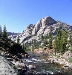
Glen Aulin
Glen Aulin, California
8.6 miles WThis trail is a popular route to take in the Yosemite High Country because it is a good introductory hike into the backcountry. At the end of the hike there are several waterfalls as well as a...
Backpack, Camp, Hike, Swim 6.0 mi
Glen Aulin
Wawona, California
8.6 miles WThis is an 11 mile hike along the Tuolumne River to Glen Aulin. There is a view to take in at every turn on this hike, whether it's the Tuolumne River, Tuolumne Fall, Soda Springs,...
Backpack, Camp, Hike 5.7 mi
Ten Lakes
Tuolumne Meadows, Yosemite National Park
14.1 miles WA 6.4 mile hike will lead you to three of the Ten Lakes at Ten Lakes Basin. There are three possible trails to take to see this phenomenon. The shortest begins at Yosemite Creek. The other two...
Backpack, Camp, Hike 2.1 mi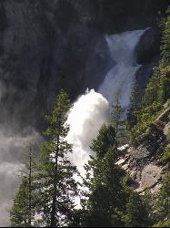
Snow Creek Falls
Yosemite Valley, Yosemite National Park
17.2 miles SWSnow Creek is one of the more difficult waterfalls to find in the valley, but in the spring and summer months, the elusive waterfall can be seen from the Mirror Lake Trail, a 5 mile loop around...
Backpack, Hike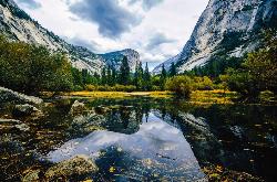
Mirror Lake
Yosemite Valley, Yosemite National Park
18.5 miles SWMirror Lake is a seasonal lake situated in a secluded corner of the beautiful Yosemite Valley. The lake sits at the base of Half Dome and allows a different perspective of the famous monolith....
Backpack, Hike, Swim 4.0 mi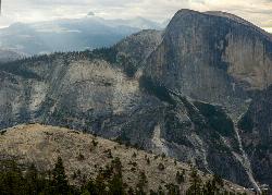
North Dome
Yosemite Valley, Yosemite National Park
18.7 miles SWNorth Dome is a strenuous 10.4 mile hike that gives visitors a close up view straight at Half Dome from across the valley. It also has a unique view of Clouds Rest peak. Because the hike...
Backpack, Hike 1.9-2.9 mi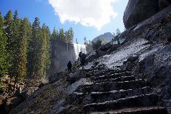
Mist Trail
Yosemite National Park
19.5 miles SWThe mist trail is a small breakoff from the John Muir Trail through Yosemite National Park. It's called the mist trail because of the heavy amount of mist that hikers walk through as Vernal and...
Backpack, Hike
Harden Lake
Big Oak Flat, Yosemite National Park
21.1 miles WThe hike to Harden Lake at Yosemite is essentially a long walk. Much of the trail is walking down Tioga Road, an old gravel street that has been part of Yosemite since its foundation. The trail is...
Backpack, Hike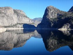
Hetch Hetchy Reservoir
Groveland, California
28.8 miles WLocated thirty minutes outside Yosemite Valley, Hetch Hetchy has the longest hiking season in the park. It's home to the O'Shaughnessy Dam and Wapama Falls. Since...
Backpack, Hike 4.7 mi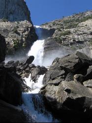
Wapama Falls
Groveland, California
28.9 miles WA 5 mile hike along the shoreline of the Hetch Hetchy reservoir will take you to one of Yosemite's famous waterfalls. The hike to the fall is moderate, takes about 2.5-5 hours to...
Backpack, Hike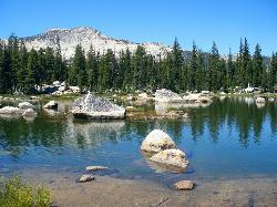
Crane Flat
Big Oak Flat, Yosemite National Park
31.0 miles WCrane Flat Campground is a meadow and forest between Tuolumne and Merced Groves of Giant Sequoias. The campground is 30 minutes outside Yosemite Valley, has restrooms and picnic...
Backpack, Camp, Hike, Snowshoe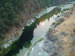
Standish Hickey Area
Lakeshore, California
41.3 miles SStandish-Hickey is an inland river canyon that runs along Highway 101 just 180 miles from San Fransisco. It's home to a two-mile stretch of the south fork on Eel River, where many...
Backpack, Camp, Hike, Kayak, Swim


