Refine Search
- hike 10
- camp 5
- swim 4
- kayak 2
- backpack 2
- cave 1
- hot springs 1
- whitewater 1
- snowshoe 1
- mountain bike 1
- canoe 1
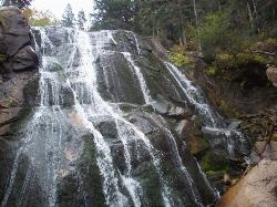
Bells Canyon
Sandy, Utah
1.9 miles E of Sandy, UtahBells Canyon is a moderate, 4.5 mile hike that begins in a residential area and ends at a waterfall in the enter of the canyon's forest. The first 1/2 mile of the hike is relatively...
Backpack, Hike, Mountain Bike, Snowshoe
Fall Creek Falls
Swan Valley, Idaho
2.1 miles SW of Swan Valley, IdahoFalls Campground is located next to the Snake River near beautiful Swan Valley, only 45 miles east of Idaho Falls, Idaho. Mixed growth cottonwood trees provide partial shade, and grassy meadows with...
Camp, Cave, Hike, Kayak, Swim 4.6 mi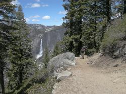
Four Mile Trail
Yosemite National Park
9.5 miles S of Yosemite National ParkFour Mile Trail is a moderate hike that offers the best views of some of Yosemite's most famous landmarks, including Yosemite Falls, Half Dome, Clouds Rest, North Dome, El Capitan, and the Royal...
Hike 1.1 mi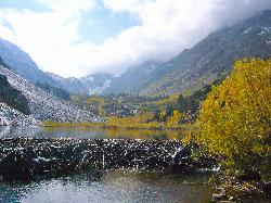
Lundy Canyon
Bridgeport, California
16.2 miles S of Bridgeport, CaliforniaIn just one 3 mile hike, Lundy Canyon provides views of waterfalls, meadows, mountains, and if you're up for it, a trip to the Twenty Lakes Basin. There is much to take in even after going...
Hike 4.0 mi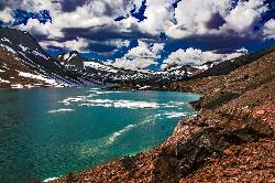
Saddlebag Lake
Lee Vining, California
8.3 miles W of Lee Vining, CaliforniaA man-made lake found in the Inyo forest, resting at about 10,008 feet above sea level, Saddlebag Lake is located just outside the Tioga Pass entrance to Yosemite National Park. This lake has some of...
Camp, Canoe, Hike 15.9 mi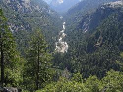
Valley Loop Trail
Yosemite Valley, Yosemite National Park
1.0 miles SW of Yosemite Valley, Yosemite National ParkThe Valley Loop trail at the heart of Yosemite is one of the best ways to discover the park. The entire loop is 11.5 miles long, and there are several places to enter and exit the trail...
Hike 1.9 mi
Half Dome
Yosemite Valley, Yosemite National Park
4.4 miles E of Yosemite Valley, Yosemite National ParkHalf Dome is the most popular and difficult hike in Yosemite Valley. The trail is about 14 miles long with an elevation gain of 4800 feet. There are cables to help you scale up to the summit once you...
Hike 0.9 mi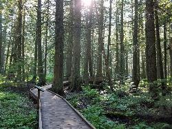
Trail of the Cedars
Apgar Village, Glacier National Park
13.2 miles NE of Apgar Village, Glacier National ParkThe Trail of the Cedars is one of the most popular hikes in the park because of it offers great views without too much exertion. It is a short loop hike around Avalanche Creek in Glacier...
Hike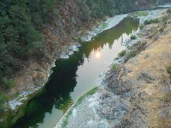
Standish Hickey Area
Lakeshore, California
10.0 miles NE of Lakeshore, CaliforniaStandish-Hickey is an inland river canyon that runs along Highway 101 just 180 miles from San Fransisco. It's home to a two-mile stretch of the south fork on Eel River, where many...
Backpack, Camp, Hike, Kayak, Swim
Gods Bath
Phoenix Lake-Cedar Ridge, CA, California
14.4 miles E of Phoenix Lake-Cedar Ridge, CA, CaliforniaGod's Bath swimming hole in the Clavey River is a beautiful and popular location to take a dive in. However, the hike to get there is about one mile of rock climbing. The trailhead begins on...
Hike, Swim
Wild Willy's Hot Spring
Mammoth Lakes, California
11.0 miles E of Mammoth Lakes, CaliforniaWild Willy's Hot Springs, also known as Crowley Hot Springs, is a spring located in Long Valley. Long Valley is home to one of the highest concentrations of geothermal surface water in...
Camp, Hot Springs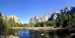
Merced River
Yosemite Valley, Yosemite National Park
0.6 miles SE of Yosemite Valley, Yosemite National ParkThe main fork of Merced River at Yosemite National Park is a perfect place to fish, swim, raft, and even pan for gold. The river circles around the center of Yosemite Valley, and almost every...
Camp, Swim, Whitewater


