


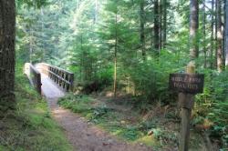
Trace Ridge #354
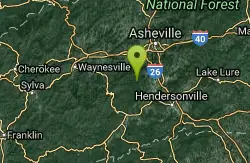
Horse Shoe, North Carolina
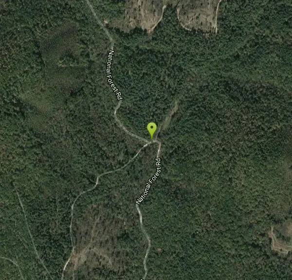
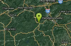
| Address: | ~National Forest Rd, Horse Shoe, NC 28742, USA |
| GPS: |
35°25'33.6"N 82°39'10.0"W Maps | Directions |
| State: | North Carolina |
| Trail Length: | 3.00 miles |
| Trail Type: | Shuttle |
| MTB Trail Type: | Singletrack |
Mountain Bike
Forest Road and singletrack. This trail is exhilarating. Climb up the forest road, the single track (rolling and steep), then bust up the technical rock garden and youre home free to fast and furious downhill to the finish. INCREDIBLE! Check out Falcon Guide's "Mountain Biking, North Carolina" by Timm Muth for the best route, directions, and highlights for this trail and many more in the Pisgah Forest and throughout North Carolina.Courtesy of trails.mtbr.com
More Information
Never modify trail features. Ride trails when they're dry enough that you won't leave ruts. Speak up when you see others on the trail and always yield to hikers, horses, and others coming uphill. Always ride on the established trail.
Read More- Plan Ahead and Prepare
- Travel & camp on durable surfaces
- Dispose of waste properly
- Leave what you find
- Minimize campfire impacts
- Respect wildlife
- Be considerate of other visitors
Directions
From Horse Shoe, North Carolina
- Head northwest on Banner Farm Rd toward Old Brevard Hwy (1.5 mi)
- Turn left to stay on Banner Farm Rd (2.0 mi)
- Turn left onto Haywood Rd (0.4 mi)
- Turn right onto NC-191 N/NC-280 E (0.9 mi)
- Turn left onto N Mills River Rd (4.9 mi)
- Turn right onto National Forest RdDestination will be on the right(1.9 mi)
Other Mountain Bike Trails Nearby
Middle Fork
Horse Shoe, North Carolina
0.4 miles SWThis trail is about 8.8 miles of fire road and 2.6 miles of singletrack. There are 2 gated roads from the trailhead take the one on the right, Fletcher Creek Road (AKA The Never Ending Road). It...
Mountain Bike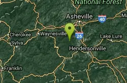
Fletcher Creek
Horse Shoe, North Carolina
0.4 miles SWFrom trailhead parking lot, ride back down gravel road. After concrete bridge, turn left on Wash Creek Road (FS5000). After proceeding up hill on FS5000 for about 2 miles, turn left onto Spencer...
Mountain Bike 3.7 mi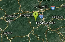
Bradley Creek Road
Horse Shoe, North Carolina
2.5 miles SWThis graded FS road gradually ascends from the Bradley Creek Trail (#351) on its way to Yellow Gap Road. Enjoy the surrounding hardwood forest as you climb - the road itself is not too exciting to...
Mountain Bike 2.2 mi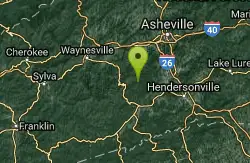
Pilot Cove / Slate Rocks / 102
Canton, North Carolina
4.6 miles SWFun descent with several stream crossings along the way. Nothing too steep but this trail doesn't get a lot of use so there are usually a few trees down along the way. Beautiful scenery and a...
Mountain Bike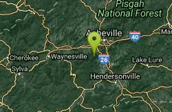
Little Hickory Top
Asheville, North Carolina
4.7 miles NDogs: Leashed
Hike, Horseback, Mountain Bike
Hardtimes Connector / 661
Asheville, North Carolina
4.7 miles NThis trail connects to the main trail system and the big climbs to the top from the Hardtimes Trailhead. This section of singletrack lies in the flatter terrain but leads to the big climbs up the...
Hike, Horseback, Mountain Bike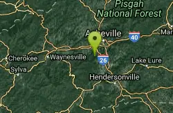
Bent Creek
Asheville, North Carolina
5.0 miles NEBent Creek is the go-to trail system for the greater Asheville area, and with the deeply-ingrained mountain bike culture in the Asheville/Brevard area, and Western North Carolina in general, Bent...
Hike, Mountain Bike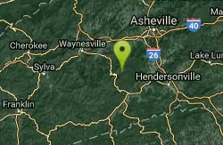
South Mills River Trail
Canton, North Carolina
6.0 miles SWThis is an easy out-and-back trail that follows the South Fork Mills River with several swinging bridge crossings that leads to the site of the old Cantrell Lodge. From the trail head, the left side...
Hike, Mountain Bike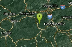
Pink Beds
Pisgah Forest, North Carolina
6.9 miles SWGreat warm up/cool down trails or beginner trails for Pisgah, as they are mostly flat. The bikeable portion of this trail will dump you out on a gravel road near the South Mills River trail after...
Mountain Bike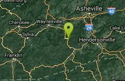
Pilot Cove Loop Trail
Pisgah Forest, North Carolina
8.7 miles SWThis short 1.8-mile trail has some steep, very tight singletrack and some very tight turns... but it is well-worth riding because it houses one of the best views in Pisgah National Forest! Definitely...
Hike, Mountain Bike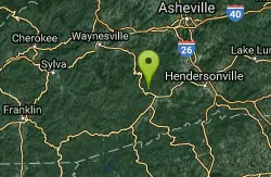
FS 5058
Pisgah Forest, North Carolina
9.7 miles SW5058 is a gated gravel road that many riders use as an easy climb to the tops of some wicked singletrack descents. Park near the horse barns off of FS 477 to access this climb....
Mountain Bike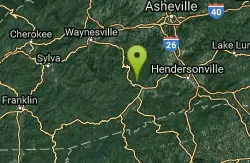
Fs 477
Pisgah Forest, North Carolina
9.7 miles SWParts of this road are gated, so you can't drive all the way through to the other end, which is further up 276. There is camping all along this road, which is great as it can be used...
Mountain Bike
North Slope
Pisgah Forest, North Carolina
10.6 miles SThis trail is only open from October 15 - April 15. This trail is very worn and is more suitable to hiking, but it is an interesting bike trail nonetheless. Start from the parking lot and ride across...
Hike, Mountain Bike
Brevard Bike Path
Brevard, North Carolina
10.7 miles SGovernment at it's best. Great way to get from town to the forest. If you are camping at the Davidson River Campground you can connect to the bike via Eastatoe Trail. The Bike path is great way...
Mountain Bike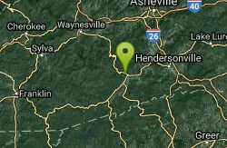
Thrift Cove
Brevard, North Carolina
10.8 miles SStart riding the trail at the back of the parking lot. Go about 0.1 miles and turn right up Thrift Cove trail. Follow the red blazes and turn left at the intersection with Grass Road. On the way back...
Hike, Mountain Bike
Avery Creek / 327
Brevard, North Carolina
10.8 miles SThe bottom end of Avery Creek can be accessed via FS 477, and the top can be accessed via the Buckwheat Knob trail, the Black Mountain trail, or the Club Gap trail. Avery Creek descends for 3.2 miles...
Hike, Mountain Bike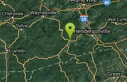
Bennett Gap / 138
Pisgah Forest, North Carolina
10.9 miles SThis trail is 3 miles in one direction. Again, another gnarly Pisgah-area trail! This trail has several awesome views off the top of the ridge of Looking Glass mountain. Absolutely incredible--be...
Hike, Mountain Bike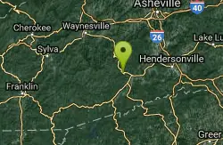
Coontree Recreation Area
Brevard, North Carolina
11.4 miles SWCoontree Recreation Area is a beautiful area with many amenities and activities on the Davidson River. This recreation area is best known for its picnic area with a beautiful view of the river. The...
Hike, Mountain Bike, Swim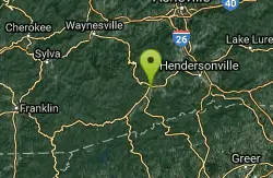
Sycamore Cove
Brevard, North Carolina
11.6 miles SHead back down the highway to find the trailhead. The trail is on the left side of the road as you head back towards Hwy 280. Follow the blue blazed trail. Combine this trail with Thrift Cove by way...
Mountain Bike 2.3 mi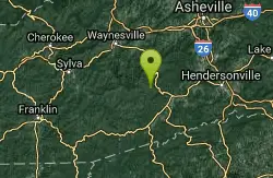
Cove Creek
Canton, North Carolina
12.5 miles SWAll the climbing is on gravel forest roads. Then you descend on Cove Creek Trail. There are some cool rock sections up at the top and a few rustic log bridges about mid way down but overall this is a...
Mountain BikeNearby Campsites
Davidson River Campground
Pisgah Forest, North Carolina
10.8 miles SDavidson River Recreation Area offers camping and outdoor activities for the whole family. The campground boasts several loops of shaded campsites, as well as access to hiking trails, fishing spots,...
Camp, Hike, Swim
Rocky Bluff
Hot Springs, North Carolina
32.1 miles NPlay in water in creek, shallow at times.
Camp, Hike, Swim
Mt. LeConte Lodge
Sylva, North Carolina
34.4 miles WHigh atop Mt. LeConte in the Great Smoky Mountains National Park, LeConte Lodge® is the highest guest lodge in the eastern United States. It is situated on an open glade just below the summit of...
Camp, Hike, Horseback, Rock Climb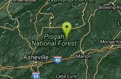
Mount Mitchell Area
Trinity, North Carolina
36.3 miles NENice family swimming place right by N. F. campgrounds in the South Toe River (cold) in the Pisgah N. F... Fees: Yes This site is closed seasonally.
Camp, Swim
Cosby Campground
Cosby, Tennessee
38.7 miles NWCamp and Swim near Cosby, Tennessee
Camp, Swim
Old Forge Campground
Bethany, Tennessee
46.1 miles NOld Forge Campground and Recreation Area is a small campsite perfect for campers looking for a primitive experience. Old Forge is located on the beautiful Jennings Creek in the Cherokee National...
Camp, Hike, Swim
Horse Creek Campground
Chuckey, Tennessee
47.1 miles NHorse Creek Campground is a popular day use and camping location in the Horse Creek Recreation Area. This beautiful spot in the Cherokee National Forest is a great location to connect with nature...
Camp, Swim


