


229 Things to do near Sundance, Utah
first prev 1 2 3 4 5 6 7 8 9 10 next lastShowing results within 50 miles Distance miles of Sundance, UT 84604, USA City, Zip, or Address
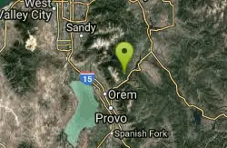
Archie's Loop
Sundance, Utah
0.6 miles EArchie's Loop Trail, a 2.2 mile stretch of mountain biking/hiking trail, recently opened up totally new country. The intermediate-level trail runs from Scott's Pond loop to connect with...
Mountain Bike
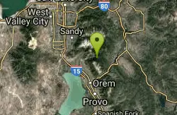
Timpanogos Falls
Provo, Utah
1.1 miles NWOne of the many waterfalls in the Mt Timpanogos area, Timpanogos Falls is a lesser known and visited waterfall. The trail for Timpanogos Falls departs from the same parking lot as Stewart Falls,...
Hike
Stewart Falls
Provo, Utah
1.2 miles NWStewart Falls is found nestled in the forest along the east side of Mt. Timpanogos. Fed by a glacier on the mountain, the crystal clear falls will leave visitors refreshed on a warm summer day. Those...
Hike
Provo River Parkway Trail
Provo, Utah
2.7 miles SThis isn't quite as much mountain biking as it is an easy downhill bike ride. The whole trail is paved. One of the best ways to do it is to take two vehicles and park one at Will's Canyon...
Hike, Mountain Bike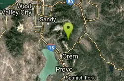
Ridge Trail #157
Provo, Utah
2.9 miles NWThis trail is 15.7 miles in length and is commonly referred as the backbone of the American Fork Canyon trail system, because it connects several loop routes along the northern portion of the...
Mountain Bike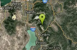
Timpanooke
Provo, Utah
3.7 miles NWThis is a great trail. Intermediate tech and moderate aerobic. It winds through pine forests and grass meadows. Start by heading down the Timpanooke section of the Great Western Trail...
Mountain Bike 1.6-14.1 mi
Mount Timpanogas
Provo, Utah
3.7 miles NWMt. Timp, as the locals call it, is the 2nd highest mountain in the Wasatch range (only Mt. Nebo is higher). What sets "Timp" apart is its location. It towers over the Provo, Orem, Pleasant...
Camp, Hike, Horseback, Swim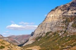
Provo Canyon
Provo, Utah
4.0 miles SProvo Canyon is a canyon located in unincorporated Utah County, Utah, USA and Wasatch County, Utah. Provo Canyon splits between Mount Timpanogos on the north and Mount Cascade on the south. The...
Rock Climb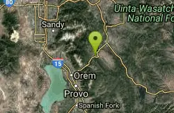
Deer Creek State Park
Wallsburg, Utah
4.6 miles EDeer Creek State Park is one of the finest year-round fishing spots in all of Utah. There are many different kinds of fish here and it is sure to not disappoint fisherman. Other...
Mountain Bike
Bear Canyon Loop
Provo, Utah
4.9 miles NWA route for the thrill seeker, the Bear Canyon Loop is an advanced mountain biking route. This a challenging route and should be done only by those who know how to handle their bike on steep rocky...
Mountain Bike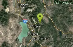
Big Springs
Provo, Utah
5.4 miles SESingle track, winding through trees and an open meadow. Cross the service road about half way up to continue to the small water run off of Big Springs. There is approximately 1000 feet...
Mountain Bike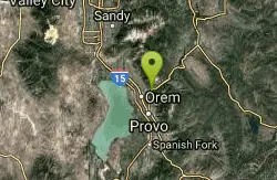
South Fork of the Provo
Provo, Utah
5.7 miles SWSouth Fork of the Provo is a fun, short, scenic singletrack ride. It is an ideal trail to introduce a new mountain biker to the joys of singletrack! The trail has one or two rocky...
Mountain Bike 1.2 mi
Battle Creek Falls
Pleasant Grove, Utah
6.3 miles WBattle Creek Falls, located near Pleasant Grove, Utah, is a scenic waterfall that also has a rappelling and rock climbing area nearby. Hikers are allowed to see the falls from two view points, below...
Canyoneer, Hike
G Mountain Trail
Pleasant Grove, Utah
6.3 miles WThe trail starts at Kiwanis Park which is south of the 'G' at the end of Battle Creek Road. The trail starts out a little steep for about .25 mile and the very last bit is a...
Hike
Grove Creek Trail
Pleasant Grove, Utah
6.5 miles WThe Grove Creek Trail falls from the upper shoulder of Mount Timpanogos down Grove Creek Canyon to Pleasant Grove. It's usually ridden as a shuttled downhill -- because the climb up this...
Hike, Mountain Bike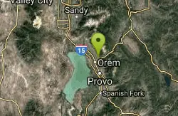
Orem Cemetary
Orem, Utah
6.6 miles SWSled near Orem, Utah
Sled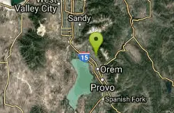
Bonneville Shoreline Trail - Cedar Hills to Grove Creek Canyon
Pleasant Grove, Utah
6.6 miles WThe Cedar Hills to Grove Creek Canyon portion of the Bonneville Shoreline Trail is an intermediate level trail. There are some flat spots that are on old dirt roads, as well as single track...
Mountain Bike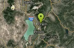
Squaw peak
Provo, Utah
6.6 miles SAirsoft and Paintball near Provo, Utah
Airsoft, Paintball
Tibble Fork
Provo, Utah
6.7 miles NWThis trail is advanced tech and strenuous aerobic. This trail involves a few miles of riding on the pavement. Start by heading back down to the intersection with the South Fork of American Canyon and...
Mountain Bike
Tibble Fork Reservoir
Provo, Utah
6.9 miles NWThere isn't one specific sledding run at this location. There's a great parking lot and hills above and below. It all depends on what kind of speed and excitement you're looking for....
Sled


