


85 Things to do near Somers, Connecticut
first prev 1 2 3 4 5 next lastShowing results within 50 miles Distance miles of Somers, CT, USA City, Zip, or Address
Somersville Mill Pond/Scantic River
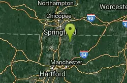
Somers, Connecticut
2.1 miles WSomersville Mill Pond and Scantic River is located near Somers, Connecticut. The trail is primarily used for canoeing and is accessible from April until October.
Canoe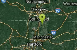
Scantic Rapids
Enfield, Connecticut
4.8 miles WSwim near Enfield, Connecticut
Swim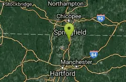
Windsor Locks Canal Trail
Suffield, Connecticut
8.2 miles WThe 4.5 mile Windsor Locks State Park Canal Trail follows the historic towpath of this 170 plus year old historic waterway. The canal’s many vantage points offer the trail user scenic vistas...
Hike, Mountain Bike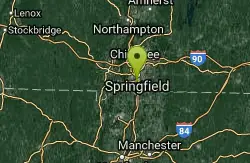
School Street Park Disc Golf
Agawam, Massachusetts
9.8 miles NWA recreational course playing around other park activities. Soccer games and other activities occasionally make sections of the course unplayable. Public (No Fee)
Disc Golf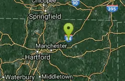
Cross Farms
Tolland, Connecticut
10.3 miles SEMainly wooded - some tight holes, some long open fairways and 2 open field shots in a beautiful New England setting. Unmarked alt. tees or pins on 2,4,5,6,7,9,10,12,13,14,15,18. Public (No Fee)
Disc Golf
Crane Hill Disc Golf Course
Wilbraham, Massachusetts
11.5 miles NMix of open and wooded, up and downhill shots. OB stream in play on two holes. Public (No Fee)
Disc Golf
Dean Pond
Monson, Massachusetts
12.1 miles NESwim near Monson, Massachusetts
Swim
St. Paul's Collegiate Park DGC
Mansfield, Connecticut
13.8 miles SEA great recreational course. Operated by St. Paul's Collegiate Church. Guests welcome - please check-in with church office before playing. Private (No Fee)
Disc Golf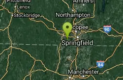
Provin Mountain
Southwick, Massachusetts
14.9 miles NWmoderate climb, fun descents great views
Mountain Bike
Robinson state park
Agawam, Massachusetts
15.0 miles NWAwesome park for 2 hour ridegood network of trails that vary from technical to fly down at 40 mph smooth downhills. watch out for trick trails that arent really trails and go off of...
Mountain Bike
Metacomet Trail
East Granby, Connecticut
15.3 miles WThe Metacomet Trail is a 62.7-mile Blue-Blazed hiking trail that traverses the Metacomet Ridge of central Connecticut and is a part of the newly designated 'New England National Scenic...
Hike, Mountain Bike
Collegiate Park DGC
Mansfield, Connecticut
15.9 miles SEA great recreational course. Operated by St. Paul's Collegiate Church. Guests are welcome - please check-in with church office before playing. Dual tees to 9 baskets. Private (No Fee)
Disc Golf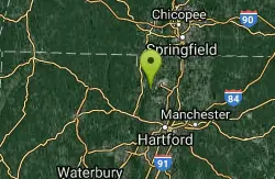
Cowles Park
East Granby, Connecticut
16.3 miles WVery well maintained trails with a great variety: some downhill, some hill ups and downs, flat technical sections, and fire roads. Just a fun wide range of trails. Would go back any...
Mountain Bike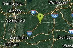
Lake Mashapaug
Union, Connecticut
16.3 miles ESwim near Union, Connecticut
Swim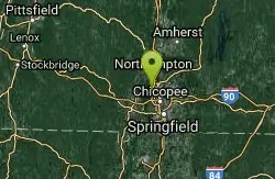
HCC Disc Golf Course
Holyoke, Massachusetts
17.9 miles NWCompletely redesigned in 2011. First six holes fairly open - the rest are wooded. You'll find tight fairways, severe elevation, and deceptive wind patterns. Public (No Fee)
Disc Golf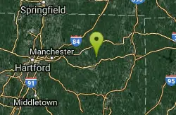
Mount Hope Brook
Mansfield, Connecticut
19.7 miles SESwim near Mansfield, Connecticut
Swim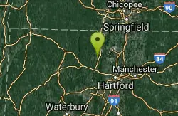
Central
Simsbury, Connecticut
20.1 miles Wone huge drop and plenty of jumps usually lots of people there not many non bikers trail is always changing
Mountain Bike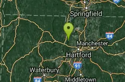
Penwood State Park
Simsbury, Connecticut
20.2 miles SWAn extensive trail system envelopes this hill top park with many scenic views of the Farmington River Valley. There's single track that traverses within inches of 200 foot cliffs....
Mountain Bike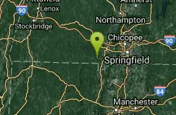
Granville Gorge
Southwick, Massachusetts
20.5 miles WMountain Bike and Swim near Southwick, Massachusetts
Mountain Bike, Swim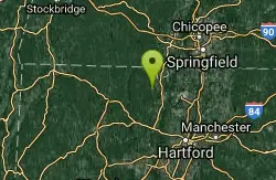
Carpenter's Falls
Granby, Connecticut
20.6 miles WDO not head down the trail to the left it is for hiking/walking only. Ride up the hill till you hit pavement. Mostly a really rough dirt road passable by some suvs, but with a few...
Mountain Bike


