


3 Things to do near Panamint Springs, California
first prev 1 next lastShowing results within 50 miles Distance miles of Panamint Springs, CA, USA City, Zip, or Address
Add Location
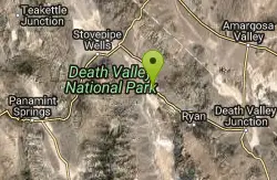
Furnace Creek
Furnace Creek, California
34.2 miles EFurnace Creek Campground is in a central location in Death Valley National Park. It is popular for RV and group camping; tent sites are also available. A visitor center, bike path, hiking trails...
Atv/motorcycle, Camp, Hike, Mountain Bike
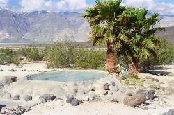
Saline Valley Warm Springs
Panamint Springs, California
36.5 miles NWIn the middle of Death Valley, there lays a quaint little campsite with beautifully built and clean warm pools. They can be tricky to get to and will go beyond your cell signal so you'll want...
Camp, Hot Springs
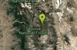
Monache mountain
Inyokern, California
46.5 miles WMonache Mountain is a 9,367 ft / 2,855 m mountain peak near Lone Pine, California, United States. Based on peakery data, it ranks as the 682nd highest mountain in California and the 5590th highest...
Camp, Hike, Mountain Bike


