


232 Things to do near Fort McDowell, Arizona
first prev 1 2 3 4 5 6 7 8 9 10 next lastShowing results within 50 miles Distance miles of Fort McDowell, AZ 85264, USA City, Zip, or Address
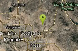
Sport Loop
Fountain Hills, Arizona
2.5 miles NWMountain Bike near Fountain Hills, Arizona
Mountain Bike
Fountain Park Trail
Fountain Hills, Arizona
3.1 miles SWFountain views, Four Peaks view, desert vegetation, close to coffee! The trail is well groomed and well marked. It parallels some house as you begin to go up the first hill. About 15...
Hike, Mountain Bike
Fountain Hills Park
Fountain Hills, Arizona
3.1 miles SWFountain Park is a 1.3 mile loop trail located near Phoenix, Arizona ( in Fountain Hills) and is good for all skill levels. The trail is primarily used for hiking and is accessible...
Hike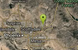
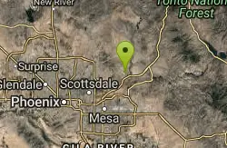
Fountain Hills Disc Golf Course
Fountain Hills, Arizona
3.2 miles SWLots of trees and well-manicured grass around man-made lake with 300' fountain. Multiple pin placements. Maps at 1st tee. Circular concrete tees. Public (No Fee)
Disc Golf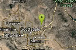
Fountain Hills Park - 2009 Memorial
Fountain Hills, Arizona
3.4 miles SWLots of trees and well-manicured grass around man-made lake with 300 ft. fountain. Pleasant course in summer. Multiple pin placements for many holes. Maps at 1st tee. Public (No Fee)
Disc Golf
Fountain Hills Skatepark
Fountain Hills, Arizona
3.6 miles SWThe Peaks Skatepark is a new addition to Four Peaks Neighborhood Park in northeast Fountain Hills.
Skateboard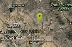
Coachwhip Trail Loop
Fountain Hills, Arizona
3.8 miles NWThe Pemberton Trail is the best known trail in this area and is the arterial backbone connecting other spur trails. Don't just ride Pemberton and feel like you've seen it all. Many...
Mountain Bike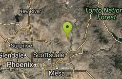
Pemberton Loop
Fort McDowell, Arizona
4.4 miles NWThere are many places to start this loop from really as it crosses other trails and the main road twice. The 15 mile loop can be cut in half or about more by either the Tonto Tank tr or...
Mountain Bike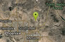
Tonto Pass
Fountain Hills, Arizona
4.4 miles NWTrail starts out as Pemberton loop - counterclockwise. Ride approximately 5.25 miles (430ft climb over this distance). No real technical areas on the way up, some sand and small berms....
Mountain Bike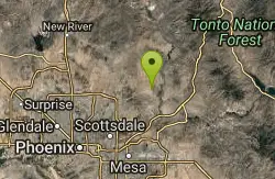
McDowell Mountain Park
Fort McDowell, Arizona
4.5 miles NWThis trail is great. It is not as rocky as other Phoenix area trails( ie: Trail 100, National, Estrella Mtn Park). Twisty singletrack on rolling contour. The surface consists of small...
Mountain Bike
Tortoise and Hilltop Trails
Fort McDowell, Arizona
5.0 miles NWBe on the lookout for wildlife like jackrabbits and lizards on the initial stretch of trail (Tortoise Trail) and for mountain bikers as this trail joins the Pemberton Trail for a bit as...
Hike
Wagner-Granite-Bluff Trails
Scottsdale, Arizona
5.1 miles NWHike and Mountain Bike near Scottsdale, Arizona
Hike, Mountain Bike
Wagner Trail
Scottsdale, Arizona
5.1 miles NWWagner Trail is a 2.2 mile, beginner to intermediate loop trail located in the McDowell Sonoran Preserve. The trail is well-marked and easy to follow; this wide, but rugged...
Hike, Horseback, Mountain Bike
Dixie Mine
Fountain Hills, Arizona
5.4 miles WMcDowell Mountain Regional Park 16300 McDowell Mountain Park Dr. MMRP Arizona 85255 Ph: 480-471-0173 Fax: 602-372-8507 mcdowellpark@mail.maricopa.gov Mailing...
Hike
Sonoran Trail Fountain Hills
Fountain Hills, Arizona
5.4 miles WHike near Fountain Hills, Arizona
Hike
Thompsons Peak
Fountain Hills, Arizona
5.4 miles WHike near Fountain Hills, Arizona
Hike
Sunrise Peak via Sunrise Trail
Scottsdale, Arizona
6.1 miles SWHike near Scottsdale, Arizona
Hike 2.1 mi
Lower Salt River Nature Trail
Fort McDowell, Arizona
6.4 miles SThe Lower Salt River Nature Trail is a scenic walk to take at the Tonto National Forest. This trail provides stunning views as you walk alongside the Salt River. This rustic trail is older and less...
Camp, Hike
Pebble Beach
Mesa, Arizona
8.2 miles SEPebble Beach is a popular place to go tubing and swimming with designated picnic areas. It's located along the Salt River in Cibola National Forest. The reason the Salt River is so salty is...
Swim
Tom's Thumb Trail
Scottsdale, Arizona
8.3 miles NWTom's Thumb Trail is a popular trail on the McDowell Sonoran Preserve due to its unique thumb-like granite rock formation. This is a 4.7 out-and-back, intermediate trail because of its 1,200...
Hike, Mountain Bike, Rock Climb


