


33 Things to do near Condon, Montana
first prev 1 2 next lastShowing results within 50 miles Distance miles of Condon, MT 59826, USA City, Zip, or Address
Alpine Trail #7
Bigfork, Montana
19.8 miles NThe Alpine 7 trail is 54.7 miles long. It begins at Jct. Columbia Mtn. Trail. #51 and ends at Inspiration Point. The trail is open for the following uses: Hiking, Biking, Motorcycle...
Mountain Bike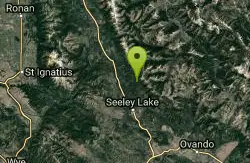
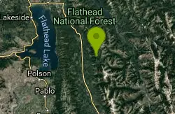
Morrell Falls National Recreation Trail
Condon, Montana
20.4 miles SESituated in the Swan Mountains, Morrell Trail leads visitors to a 90 ft double waterfall. The area is a popular spot and is best visited from late spring to fall.
Backpack, Camp, Hike
South Lost Creek Trail #86
Bigfork, Montana
22.8 miles NThe South Lost Creek Trail starts at the of Lost Creek Rd and ends at the junction with Alpine Trail #7. This trail travels 5.8 miles and climbs 2,200 ft. The following uses are...
Mountain Bike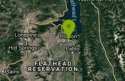
Riverside Park
Polson, Montana
24.1 miles NWSwim near Polson, Montana
Swim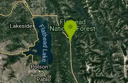
Bond Creek Trail #21
Bigfork, Montana
27.0 miles NBond Creek Trail #21 begins flat and then steadily climbs alongside Bond Creek to Bond Lake. There is a small water cascade approximately 3.5 miles up the trail which is a popular...
Mountain Bike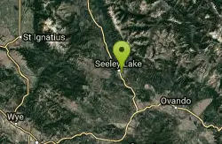
Blackhawk Disc Golf
Seeley Lake, Montana
27.0 miles SESet among towering Ponderosa Pines along Morrell Creek at the Seeley-Swan High School. Flat, very wooded, and well-marked. No alcohol on school property. Private (No Fee)
Disc Golf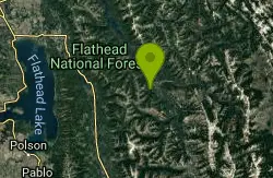
Stony Hill Trail #231
Hungry Horse, Montana
27.7 miles NThe Stony Hill Trail is 6.4 miles long. It begins at Jct. Road #895 and Road #11437 and ends at Stony Hill Communication Site.. The trail is open for the following uses: Hiking,...
Mountain Bike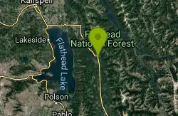
Hall Lake Trail #61
Bigfork, Montana
28.4 miles NHall Lake trail #61 is 5.8 miles long and starts off on private property (please be respectful when parking) and ends at the junction with Alpine Trail #7. To get to Hall Lake climb...
Mountain Bike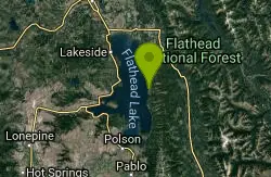
Beardance
Bigfork, Montana
29.5 miles NWStart climbing right off the bat up beardance trail 314, and hang a right on trail 76 at the fork. climb until you hit forest road 498, and hang a left. ride along that road until you...
Mountain Bike
Sixmile Lookout Trail #10
Bigfork, Montana
29.8 miles NThe Sixmile Lookout trail is 4.6 miles long and climbs 3,400 feet. It begins off of Forest Service Road #9508 and ends at Sixmile Peak after the junction with the Alpine Trail #7. The...
Mountain Bike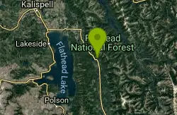
Sixmile Sidehill Trail #27
Bigfork, Montana
29.8 miles NThe Sixmile Sidehill trail is 2.5 miles long after it's junction with Sixmile Lookout Trail #10. The trail is open for the following uses: hiking, horseback riding, mountain biking, and...
Mountain Bike
Crane Creek Trail #314
Bigfork, Montana
33.3 miles NWThe Crane Creek trail is 2.1 miles long (total of 3.5 miles from trailhead) and climbs about 330 feet. It begins at the junction with the Beardance Trail #76 and ends at the junction...
Mountain Bike
Peterson Creek Trail #293
Bigfork, Montana
37.9 miles NThe Peterson Creek Trail #293 is 5.9 miles long and climbs about 1,700 feet. It starts from Forest Service Road # 5398 and ending at the junction with the Alpine Trail #7. The...
Mountain Bike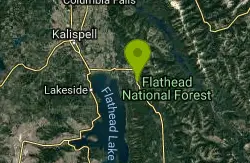
Swan Lake Ditch Ride
Bigfork, Montana
38.2 miles NIn Montana, it is completely legal to run ATV's, dirtbikes, horses, and the like in the ditches along the highways. This has actually created a rather vast network of singletrack trails...
Mountain Bike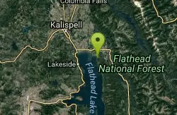
Harry Harm Park
Bigfork, Montana
40.1 miles NWHike near Bigfork, Montana
Hike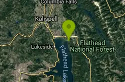
Old Bigfork Canyon Road
Bigfork, Montana
40.6 miles NWThis trail/ run down gravel road heads along the river for 2 miles, affording some excellent views and an easy ride. Especially useful for hooking up a loop on the ditch trails from...
Mountain Bike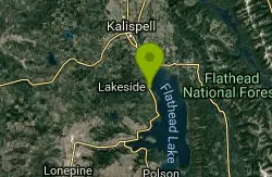
Blacktail Mountain Road
Lakeside, Montana
41.3 miles NW18 miles and roughly 4,000 vertical feet of climbing up to the top of Blacktail Mountain via a dirt/gravel road... this is one epic ride up, and one epic ride downtown! Take it from...
Mountain Bike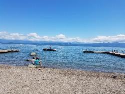
Volunteer Park
Lakeside, Montana
41.5 miles NWDive and Swim near Lakeside, Montana
Dive, Swim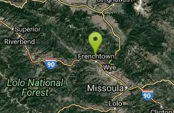
Echo Valley
Frenchtown, Montana
41.6 miles SWIn the Lolo National Forest. Mix of meadows, trees, hills, and even a little stream crossing. Pack out your trash!. Public (No Fee)
Disc Golf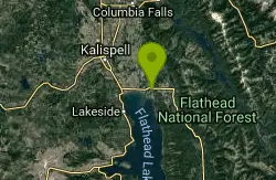
Bigfork Ditch Loop
Bigfork, Montana
42.9 miles NWIn Montana, it is completely legal to run ATV's, dirtbikes, horses, and the like in the ditches along the highways. This has actually created a rather vast network of singletrack...
Mountain Bike


