


46 Things to do near Peterson Ridge Loop
first prev 1 2 3 next lastShowing results within 50 miles Distance miles of 413 W Hood Ave, Sisters, OR 97759, USA City, Zip, or Address
Hyzer Pines
Sisters, Oregon
0.8 miles NWLocated on Sisters High School property. Weaves through ponderosa pine forest. Multiple pins. Relatively flat. Discs and bathrooms inside Coffield Center. Innova DISCatcher baskets with rubber tees....
Disc Golf
Stevens Canyon Loop
Sisters, Oregon
5.3 miles NSingle track, 20 mile loop, adopted from an old motocross loop.
Mountain Bike
Black Butte Ranch
Sisters, Oregon
7.0 miles NWMagnificent views of Black Butte and the Three Sisters. Challenging with a mix of open meadows and dense pine forest. OB includes roads, paved walking trails and water. #5 borders the end of the golf...
Disc Golf
Butte Loops Trail
Sisters, Oregon
7.0 miles NWThis trail consists of two loops: Upper Loop and Lower loop. The Lower Loop is on the low west flank of Black Butte and the Upper Loop circles Black Butte. source: fs.usda.gov...
Mountain Bike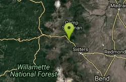
Suttle Lake Loop
Sisters, Oregon
9.2 miles NWThe loop is about 2 miles approximately in length and the highway side of the lake is less congested as several campgrounds border the opposite side. The best part of this trail is not...
Mountain Bike 1.2-7.3 mi
Juniper Trails
Redmond, Oregon
13.8 miles EJuniper Trails is a wonderful destination for mountain bikers of all skill levels. The miles of trails are broken into longer and shorter loops. Beginners can feel confident riding on the main...
Mountain Bike
North Fork
Bend, Oregon
17.9 miles SOne of the most scenic rides around the Bend area. *Special note; this is a one way, up hill ride only, so is to be used as access to other trails farther up the mountain. From the...
Mountain Bike
Farewell
Bend, Oregon
18.0 miles SIf you climb the North Fork trail, Farewell is a killer descent down the other side of the river, ending up back at Tumalo Falls Trailhead. The singletrack is super flowy, with some...
Mountain Bike
Phil's Area
Bend, Oregon
18.0 miles SUpdate 7/22/13 by mtbgreg1:The Phil's Area Trail System is the go-to trail system for mountain biking in Bend. Even the other trails in the region that aren't actually part of the...
Mountain Bike
Tumalo Trail System
Bend, Oregon
18.0 miles SMassive trail system located west of Bend in the national forest.
Mountain Bike
Tumalo Creek
Bend, Oregon
18.0 miles SThe Tumalo Creek Trail is 3.5 miles one-way and parallels Skyliner road. Starting at the Skyliner trailhead, the trail runs up near the road on the ridge side to the Tumalo Falls...
Mountain Bike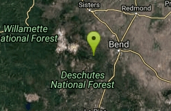
Skyliners
Bend, Oregon
18.0 miles SSkyliners is a 3.2-mile intermediate singletrack trail that runs from the Skyliner's trailhead to a junction with Whoops and Ben's trail, which is the corner of the Phil's Area Trail...
Mountain Bike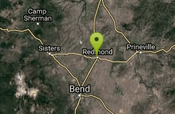
Dry Canyon Disc Golf Course
Redmond, Oregon
18.3 miles EThe course snakes through high desert terrain with sparse groves of junipers, sage and grasses. It is bordered by canyon walls on the west and a paved walking path skirts the east side of the course...
Disc Golf
Ben's Lower
Bend, Oregon
19.0 miles SEBen's is about 7 miles long one-way, and is split into basically two portions. The lower portion is all two-way, flowy cross country trail, but the upper section of Ben's is...
Mountain Bike
Phil's Trail
Bend, Oregon
19.0 miles SESince this is the namesake for the entire trail system and the oldest trail in the area, I kind of expected a blown-out doubletrack. That is entirely NOT the case! COTA has done an...
Mountain Bike
Pine Nursery
Bend, Oregon
19.5 miles SEBeautiful views of the Cascades. Mostly flat, though natural lava outcroppings offer subtle elevation changes. The foliage is mostly junipers, sage brush and thick desert grasses. Baskets are...
Disc Golf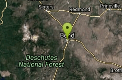
Horse Ridge Recreation Area
Bend, Oregon
20.0 miles SEExcellent riding.
Mountain Bike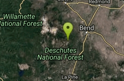
Whoops
Bend, Oregon
20.5 miles SWhoops is a renowned flow/jump trail in the Bend area that connects to Ben's of the Phil's Area on the Eastern End and then the Swede Ridge loop on the Western End (with a connection...
Mountain Bike
Swampy Lakes Trail
Bend, Oregon
20.7 miles SThe Swampy Lakes Trail is a popular way for mountain bikers to get back to Tumalo Falls when doing the North Fork/Metolius-Windigo/Dutchman-Swampy loop around the Bend Municipal...
Mountain Bike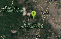
Swampy Dutchman Trail
Bend, Oregon
20.8 miles SThis trail travels from Swampy Lakes Sno-Park to Dutchman Sno-Park. It is a cross country ski/snowmobile trail that is used as a mountain bike trail in the summer. source:...
Mountain Bike


