


117 Things to do near Fossil Creek Waterfall
first prev 1 2 3 4 5 6 next lastShowing results within 50 miles Distance miles of Fossil Creek Rd, Pine, AZ 85544, USA City, Zip, or Address

Fossil Creek Dam (Toilet Bowl)
Pine, Arizona
2.6 miles EHidden within the vast Arizona desert is an oasis of a river that brings the surrounding banks to life around it. This is Fossil Creek--one of Arizona's two designated "Wild and...
Dive, Hike, Swim 0.1-3.8 mi
Fossil Springs Trail No. 18
Pine, Arizona
2.6 miles ELocated within the Fossil Springs Wilderness, this trail leads down a canyon to the springs for which it is named. At the trailhead, there are several hikes, some of which are available for...
Hike, Horseback, Swim
Verde Hot Springs
Camp Verde, Arizona
6.2 miles SWVerde Hot Springs are a few natural hot spring pools located along the Verde River, near Sedona, Arizona. Once a resort, now all that remains are the foundations and the hot pools...
Camp, Hike, Hot Springs
Bearfoot Trail
Strawberry, Arizona
7.4 miles EHike and Mountain Bike near Strawberry, Arizona
Hike, Mountain Bike 3.0 miBlodgett Basin Trail No. 31
Camp Verde, Arizona
10.6 miles NWBlodgett Basin Trail is one of a select few trails that shows off the riparian desert beauty unique to West Clear Creek Wilderness. The trail stretches from Bull Pen Trailhead through the canyon and...
Backpack, Hike, Swim 16.9 mi
West Clear Creek Trail No. 17
Camp Verde, Arizona
10.8 miles NWWest Clear Creek Trail No. 17 is a great way to reach the running waters of West Clear Creek. By far the most accessible and popular, it starts from the Bull Pen Ranch parking lot and winds down the...
Backpack, Hike, Swim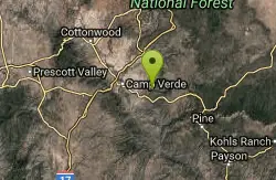
Bullpen Day Use Area
Camp Verde, Arizona
10.8 miles NWBullpen has something for everyone. Whether you park here and use the trail head to start on one of several hikes that lead down West Clear Creek, or stay nearby to use the picnic areas and...
Backpack, Dive, Hike, Swim 0.4 mi
Clear Creek Campground
Camp Verde, Arizona
11.6 miles NWWest Clear Creek flows along the boundary of this desert canyon country camp and is a popular place for hiking, swimming, wading and fishing. Cool water species such as smallmouth bass and green...
Camp, Hike, Swim 0.6-2.9 mi

Tramway Trail No. 32
Happy Jack, Arizona
15.2 miles NETramway Trail is a very short but very steep hike down the ridge of the Colorado Plateau to the nearby West Clear Creek. The trail crosses over the sharp edge of the Mogollan Rim, and descends to the...
Hike, Rock Climb, Swim 1.9 mi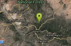
Maxwell Trail No. 37
Happy Jack, Arizona
16.5 miles NEThe Maxwell Trail leads over the Mongollan Rim down the canyon into West Clear Creek. Although still somewhat steep, it is an easier hike than shorter neighboring Tramway trail, which shares its...
Hike, Swim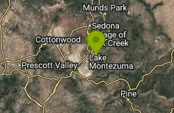
Beaver Creek Campground
Camp Verde, Arizona
19.1 miles NCamp, Canoe, Kayak, and Swim near Camp Verde, Arizona
Camp, Canoe, Kayak, Swim 0.5-0.6 mi
Ellison Creek Falls
Payson, Arizona
19.3 miles EEllison Creek provides 4 beautiful waterfalls in this area, each with their own swimming and diving opportunities. There are even fishing spots where trout can be caught. Since the falls are close to...
Dive, Hike, Swim 7.1 mi
The Crack at Wet Beaver Creek
Rimrock, Arizona
19.4 miles NThe Crack is a popular swimming hole found by hiking the Bell Trail down to Wet Beaver Creek. After following the trail for about 3.5 miles away from the parking lot, take a detour to the left just...
Dive, Hike, Horseback, Swim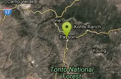
Rumsey Park
Payson, Arizona
19.5 miles SE9 baskets - dual tees make an 18 hole course. No signs and dirt tees - bring the map to navigate. Public (No Fee)
Disc Golf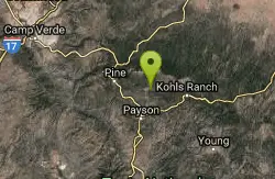
Payson Area
Cornville, Arizona
19.6 miles EIn the rivers around Payson, northeast of Phoenix, in the Tonto N. F., there are numerous fabulous swimming holes... Bathing suits: Some optional (some are very remote) Some arenas...
Swim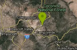
Beaver Creek Dispersed Camping
19.7 miles N
Free dispersed camping on the cliffs above Beaver Creek.
Camp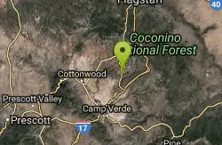
Cathedral Rock Trail
Sedona, Arizona
27.4 miles NStart off on the Bell Rock trail, go about 1.25 to 1.5 miles untill you locate the tunnel under Hwy 179 ( kinda hard to find without a map ). Go through the tunnel to start this fast...
Mountain BikeEast Clear Creek
Happy Jack, Arizona
27.6 miles EEast Clear Creek is a river that stretches through the Mogollon Rim area of Arizona. It provides water to the surrounding desert landscape, fishing opportunities, and various areas to hike,...
Canyoneer, Hike, Swim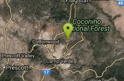
Slim Shady
Sedona, Arizona
27.7 miles NMeasuring 2.4 miles one-way, the Slim Shady trail forms the backbone of the Yavapai Point trail system and connects to Made in the Shade, Hiline, and more.
Mountain Bike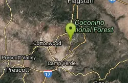
Bell Rock Area Trails
Sedona, Arizona
28.0 miles NThe Bell Rock Area Trails is a trail system that extends from south of Courthouse Butte all the way up to the Little Horse Trail on the eastern side of Hwy 179. While this trail system...
Mountain Bike


