232 Things to do near Cold Springs
first prev 1 2 3 4 5 6 7 8 9 10 next lastShowing results within 50 miles Distance miles of 1730 Teton Canyon Rd, Moose, WY 83012, USA City, Zip, or Address

Grand Targhee Resort
Moose, Wyoming
0.1 miles WSpectacular Teton mountain course at 8000' elevation. Discs in Activity Center. Head bartender in resort's Trap Bar is the course pro. Course open when snow is gone; usually June to...
Disc Golf 7.1 mi
Mill Creek Trail
Moose, Wyoming
0.6 miles EThere are two ways to do this ride, one as a loop with the Targhee road providing the bulk of the climb, or as an out and back (up the trail and back down). Keep in mind that this trail is...
Cross-country Ski, Mountain Bike, Snowshoe 4.5 mi
Sheep Bridge Trail
Driggs, Idaho
0.7 miles EThis is a great easy trail for beginner hikers or mountain bikers. In the early summer, you'll find many beautiful wildflowers and large kaleidoscopes of butterflies to go with them. You...
Hike, Mountain Bike
Alta Nordic Trail
Alta, Wyoming
1.9 miles WDistance: 6.2 miles (10km) Trail Map: Alta_Nordic_Trail_2015.pdf Grooming Report: http://tvtap.org/nordic-grooming
Cross-country Ski, Snowshoe
Reunion Flat Campground
Alta, Wyoming
2.4 miles ECamp near Alta, Wyoming
Camp 4.0 mi
Quakie Ridge
Moose, Wyoming
2.6 miles NETrail starts at the base ski area on a service road then heads out on nice single track. Trail winds through meadows of wildflowers. Some minor altitude gain along the trail. The...
Mountain Bike 2.1 mi
Buffalo Soldier
Moose, Wyoming
2.6 miles NETrail is a nice loop, all singletrack, with about 300' of elevation gain. Trail is about 1.8 miles one way. You can also use it as a connector to Mill Creek or lightning loop. Buffalo...
Mountain Bike 1.1 mi
More Cowbell
Moose, Wyoming
2.7 miles NEThis singletrack trail winds through aspens, high alpine meadows and old growth conifers.
Mountain Bike 1.9 mi
Perm-a-grin
Moose, Wyoming
2.7 miles NEPerma Grin is guaranteed to fix a smile on your face indefinitely! This swooping, flowing, smooth singletrack descends the hillside above Rick's Basin.
Mountain Bike 0.6-4.0 mi
Grand Targhee XC Park
Moose, Wyoming
2.7 miles NEMountain Bike 1.7 mi

Rick's Basin
Driggs, Idaho
3.1 miles NEMountain Bike near Driggs, Idaho
Mountain Bike
Spring Creek Trail
Alta, Wyoming
3.2 miles SWThis trail starts at the remains of the historic Rapid Creek Ranger Station. The trail heads east following an old road. After crossing Rapid Creek, the trail climbs up to a ridge...
Mountain Bike 4.5 mi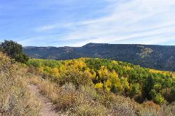
Aspen Trail
Alta, Wyoming
3.5 miles SWAspen Trail (tr 034) is single track trail for 4.35 miles along 6,800 ft contour to Darby Canyon (tr 012). Spring Creek Trail (tr 032) is double track trail for 3.68 miles to end. The trail starts...
Hike, Mountain Bike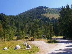
Teton Canyon Campground
Alta, Wyoming
4.1 miles ETeton Canyon is the start of several great adventures, including the Alaska Basin Trail, Table Rock, Devil's Stairs, and the Teton Crest. The campground offers a perfect basecamp to get an...
Camp 3.8-6.4 mi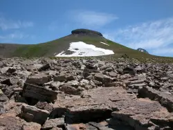
Table Rock / Table Mountain
Driggs, Idaho
4.1 miles EAt 11,300 feet, Table Mountain is possibly the most beautiful climb this side of the Tetons and offers what may well be the very best view of the Grand Tetons. It's just far enough away...
Camp, Hike 15.0-18.4 mi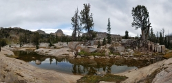
Alaska Basin
Driggs, Idaho
4.2 miles EThe Alaska Basin Trail is a stunning trail through the Jedediah Wilderness near Driggs, Idaho and goes East into Wyoming, just outside of Grand Teton National Park. The trail is wide...
Backpack, Hike, Horseback 7.9 mi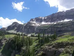
Devil's Stairs
Driggs, Idaho
4.3 miles EJust to the West of Table Rock is this often overlooked trail less traveled by, full of beautiful meadows and beautiful views all its own. The trail begins from the same campsite as the Table Rock...
Backpack, Hike
Driggs Nordic Trail
Driggs, Idaho
5.3 miles SWDistance: 3.1 miles (5km) Trail Map: Driggs_Nordic_Track_2015.pdf Grooming Report: http://tvtap.org/nordic-grooming
Cross-country Ski, Snowshoe 0.1-6.2 mi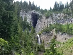
Darby Wind Cave
Driggs, Idaho
5.6 miles SDarby Wind Cave is a beautiful hike full of waterfalls, wildflowers, streams, and mountainous views. The sites you see will depend on the time of year you visit but it will always be beautiful and...
Backpack, Cave, Hike, Rock Climb
Teton Valley Disc Golf Course
Driggs, Idaho
5.8 miles SWEnjoy 360-degree mtn views from this city park that also features a skateboard area. This course is on your way to the Grand Targhee course. Public (No Fee)
Disc Golf


