RPM Wall
Firth, Idaho
| Address: | Wolverine Rd, Firth, ID 83236, USA |
| GPS: |
43°16'53.6"N 111°56'54.6"W Maps | Directions |
| State: | Idaho |
Rock Climb
Wolverine Canyon is full of limestone. The RPM wall being the currently developed wall and has some decent routes.
More Information
Add ResourceDirections
From Firth, Idaho
- Head southwest on US-91 S/Main St toward W Center StContinue to follow US-91 S(0.4 mi)
- Turn left onto N 550 E/Idaho Rd (1.2 mi)
- Turn left onto E 600 N/Wolverine RdContinue to follow Wolverine RdDestination will be on the left(13.9 mi)
Follow the directions to get to The Playground and continue heading east. At the fork with the Blackfoot River Road, head left, staying on the paved road. Continue on until the mouth of the canyon is reached and the road turns to gravel.
Follow the dirt road for about 1.5 to 2 miles. until it passes through a narrow section. You’ll know you’re at the right spot if you can see the big cave, (40 Horse Cave), up to the left of the road just after passing through the narrows. Continue up the canyon and park on the left side at the big pullout just after 40 Horse Cave.
To get to the wall, walk back down the road about 500 feet to the trailhead. Look for the small pile of broken white rock on the south side of the road – the short trail starts just above it and climbs through the trees.

Other Rock Climbing Walls Nearby
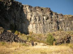
The Playground
Shelley, Idaho
5.0 miles WThe Playground is a fun, moderate to hard place to sport rock climb. You can find approximately nine routes (popular ones include: Tied to the Whipping Post, Cure for the Hangover, Anchored to...
Rock Climb
Blacktail Day Use Area
Ririe, Idaho
23.1 miles NEOn the North end of Ririe Reservoir there is a great little park with cliff jumping and even rock climbing. There is a trail from the south end of the parking lot down along the cliffs. There are...
Dive, Rock Climb, Swim 0.3 mi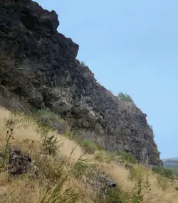
Pointless Crag
Ririe, Idaho
26.8 miles NENO MORE BOLTING as of 5/2012 requested by the Bureau of Land Management. The BLM has asked us NOT to park on the road below the cliff. Please use the obvious parking area next to the river...
Rock Climb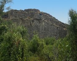
South Park
Ririe, Idaho
26.9 miles NERock Climb near Ririe, Idaho
Rock Climb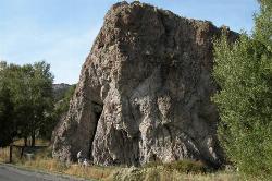
Heise Rock (AKA Elephant Rock)
Ririe, Idaho
28.1 miles NECLOSED. Rock climbing is no longer permitted. This volcanic plug sits just off the road near the Heise Hot Springs Golf Course. It is also referred to as Elephant Rock or Chuck's Choss Pile. Aid...
Rock Climb
Paramount Wall / Blanche Rock
Ririe, Idaho
28.8 miles NESitting high above the road, the routes at Paramount offer great exposure and relief from the afternoon summer sun. Chuck Oddette, Steve Reiser and Jed Miller established the routes from 1989...
Camp, Horseback, Rock Climb
The Arcane
Ririe, Idaho
31.3 miles NERock Climb near Ririe, Idaho
Rock Climb
Shady Side Cliffs at Ross Park
Pocatello, Idaho
38.5 miles SWThe routes on the Shady Side can be identified by a number on top of the cliff as well as on the face at the bottom of the climbs. The number is close to where the rope should hang for a given...
Rock Climb

Sunnyside Cliffs at Ross Park
Pocatello, Idaho
38.8 miles SWThe routes on the Sunny Side can be identified by a number at the bottom of the climbs. The number is close to where the rope should hang for a given climb. These numbers were put up years ago and...
Rock Climb
Basalt Bluff / Steve's Rock
Teton, Idaho
41.6 miles NDon't go anywhere marked No Trespassing and Beware of the Attack Bees at the top of the cliffs and the Stinging Nettle at the bottom. About a mile north of Loon Lake/Wentworth Springs Road...
Rock ClimbNearby Campsites

Blackfoot River Crossing at Trail Creek Road
Firth, Idaho
10.5 miles SIn Soda Springs, ID 34 N for ~11 mi; R (E) on Blackfoot River Rd at mp 69.9; zero odometer; travel 10.4 mi; stay to the L as rd turns to gravel at mi 10.9; mi 13.7 pass Mill Canyon Campground; mi...
Camp
Firth River Bottoms
Firth, Idaho
12.6 miles WWhether you like to ride horses, picnic, camp, fish, learn about the past, or play baseball, this park has something for everyone. The Parks & Recreation Department and the IDaho Education...
Camp, Canoe, Hike
Sealander Park
Idaho Falls, Idaho
15.5 miles NWThe story of Sealander park begins with Carl Sealander. Leaving Sweden in 1893 at the age of seventeen, Carl worked in mining communities across Colorado and Utah before meeting his wife, Lizzie...
Camp
Kelly Island Campground
Ririe, Idaho
27.6 miles NEThis is a BLM campground with 14 campsites for RVs or tents and 1 group campsite. Daily Rates $5-20 Showers No Bathrooms Vault...
Camp
Wolf Flats Recreation Area
Ririe, Idaho
27.7 miles NEWolf Flats is a completely free, dispersed, undeveloped camping area with 25 locations to camp. Some areas are large enough to accommodate groups of 50 people.
Camp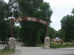
Twin Bridges Park
Rexburg, Idaho
28.5 miles NTwin Bridges is a campground 12 miles South East of Rexburg on S. 600 E. It is maintained by Madison County Parks Department. It is a 27 acre park of pristine land rich with wildlife on the Snake...
Camp, Canoe
Paramount Wall / Blanche Rock
Ririe, Idaho
28.8 miles NESitting high above the road, the routes at Paramount offer great exposure and relief from the afternoon summer sun. Chuck Oddette, Steve Reiser and Jed Miller established the routes from 1989...
Camp, Horseback, Rock Climb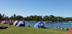
Jefferson County Lake (AKA Rigby Lake)
Rigby, Idaho
29.0 miles NRigby Lake has long been a favorite swimming hole for those in the area. The county has taken it well under its wing and made it a buzzing spot on any warm summer day. Along with the long standing...
Camp, Canoe, Dive, Kayak, Sled, Swim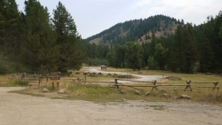
Table Rock Campground
Ririe, Idaho
30.1 miles NETable Rock / Poison Flat Campground is located at the Caribou-Targhee National Forest which occupies over 3 million acres and stretches across southeastern Idaho, from the Montana, Utah, and Wyoming...
Camp
Fall Creek Falls
Swan Valley, Idaho
30.7 miles EFalls Campground is located next to the Snake River near beautiful Swan Valley, only 45 miles east of Idaho Falls, Idaho. Mixed growth cottonwood trees provide partial shade, and grassy meadows with...
Camp, Cave, Hike, Kayak, Swim
Falls Campground
Victor, Idaho
31.2 miles EFalls Campground is located next to the Snake River near beautiful Swan Valley, only 45 miles east of Idaho Falls, Idaho. Mixed growth cottonwood trees provide partial shade, and grassy meadows...
Camp
Big Hole Dispersed Campsites
Ririe, Idaho
32.0 miles NEA dispersed campsite is simply an unestablished and unmaintained area where people camp. Often, this means that there is a campfire or other basic campsite feature to identify the site and that's...
Camp 0.5-3.5 mi
Webster's Dam
Ririe, Idaho
33.6 miles NEAlso known as Manmade Falls or the Woodmansee Dam, Webster Dam is an abandoned dam located deep in Moody Creek canyon, the dam was abandoned when sediment built up behind the dam which then...
Camp, Hike, Mountain Bike 0.6-2.0 mi
North Menan Butte ('R' Mountain)
Menan, Idaho
34.9 miles NThe North Menan Butte is more commonly known to the locals and college students as R Mountain. Many kids know it better as Ou'R' Mountain. The butte is a rare and unique geological area and provides...
Camp, Cave, Hike 13.2-13.5 mi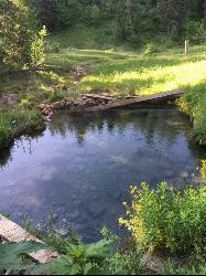
Bear Creek Hot Springs
Irwin, Idaho
36.0 miles EBear Creek Hot Springs is a 15 mile out and back trail with a hot spring at the end. The trail is not well marked and is only recommended for very experienced outdoorsmen and primarily used for...
Backpack, Camp, Hike, Horseback, Hot Springs, Mountain Bike
Moody Meadows
Driggs, Idaho
36.7 miles NEGood place for kids, they can ride bikes in the meadow, play in the stream, and camping is off of the road. Hiking, motorbiking, and horseback riding trails are abundant in the area.
Camp
Bear Creek Campground at Palisades
Irwin, Idaho
37.0 miles EPalisades Reservoir is ideal for water skiing in the summer and features many picnic spots and boat docks. The area forest service hosts nine campgrounds containing 181 family units. Boat launch...
Camp, Hike, Horseback, Mountain Bike
Calamity Campground
Irwin, Idaho
37.1 miles ECalamity Campground is located just 55 miles east of Idaho Falls, Idaho. This is the perfect area to access the Palisades Reservoir and enjoy the water activities available there. The water here is...
Camp, Canoe, Hike, Kayak, Mountain Bike, Swim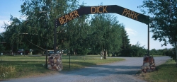
Beaver Dick Park
Rexburg, Idaho
37.6 miles NBeaver Dick is a park 4.5 miles west of Rexburg, Idaho on Hwy 33. It's a 9.5 acre park that passes next to the west bank of the Henry Fork of the Snake River; it's a popular...
Camp, Canoe, Disc Golf, Swim 5.6-8.3 mi
Palisades Creek Trail / Lakes and Waterfall Canyon
Irwin, Idaho
37.8 miles EPalisades Creek Trail is located about 50 miles southeast of Idaho Falls and about 60 miles west of Jackson Hole WY in Swan Valley Idaho. The four mile hike up to lower Palisades Lake or the 6.2 mile...
Backpack, Camp, Hike, Horseback, Mountain Bike


