


Pima and Dynamite Trail
Scottsdale, Arizona

| Address: | ~30301 N Alma School Pkwy, Scottsdale, AZ 85262, USA |
| GPS: |
33°45'38.3"N 111°50'33.9"W Maps | Directions |
| State: | Arizona |
| Trail Length: | 3.90 miles |
| Trail Type: | Loop |
| Hike Difficulty: | Beginner |
| Elevation Gain: | 144 feet |
Pet Friendly
Hike and Mountain Bike
Pima and Dynamite is an area with a network of trails for hiking, but more popularly for mountain biking, in North Scottsdale, Arizona.
The area feautures a variety of trails for beginner to advanced riders and hikers.
At the crossroads of Pima and Dynamite you will find cars and trucks with bike racks parked off in the dirt. This is the starting point for over 100 miles of singletrack. Out in extreme North Scottsdale in the middle of some of the most beautiful sonoran desert you can find, is singletrack for all types of riders. Be sure to take alot of water.
The singletrack is all over the place out there. Most of the riding is fast rolling terrain with occasional short steep climbs. you won’t find any gnarly downhills or long climbs. The way out is kind of uphill, so the ride back is always faster. My favorite part is coming back on the singletrack ripping through corners and flying over the rollers. None of the trails are marked, so you need to keep yourself oriented to find your way back to the car. There are some power lines to use as a reference. These power lines have a jeep road under them. If you ever get lost, look for the power lines and follow the road back to your car. You’ll know if you are going the right way if you find yourself going 18 mph effortlessly in some spots. The way back should be mostly downhill.
A couple of my favorite rides include West Express and Roller Coaster. Don’t bother looking for them, you won’t find them marked out there. I suggest parking and following the jeep road until you find some singletrack off to the left or right and follow those. Caution: Motor cross dudes love this area. You will see and hear them all over. Keep your eyes and ears open and stay clear of them. They are going much faster and their bike is heavier, so you would lose.Courtesy of mountainbikeaz.com
More Information
Never modify trail features. Ride trails when they're dry enough that you won't leave ruts. Speak up when you see others on the trail and always yield to hikers, horses, and others coming uphill. Always ride on the established trail.
Read MoreBe courteous, informed, and prepared. Read trailhead guidelines, stay on the trail, and don't feed the wildlife.
Read More- Plan Ahead and Prepare
- Travel & camp on durable surfaces
- Dispose of waste properly
- Leave what you find
- Minimize campfire impacts
- Respect wildlife
- Be considerate of other visitors
Directions
From Scottsdale, Arizona
- Head north on N Scottsdale Rd toward E Indian School Rd (276 ft)
- Turn right at the 1st cross street onto E Indian School Rd (2.2 mi)
- Turn left to merge onto AZ-101 Loop NParts of this road may be closed at certain times or days(10.5 mi)
- Take exit 36 to merge onto N Pima Rd toward Princess Dr (0.5 mi)
- Turn right to stay on N Pima Rd (0.7 mi)
- Keep right to stay on N Pima Rd (6.0 mi)
- Turn right onto E Dynamite Blvd (2.9 mi)
- Turn left onto N Alma School PkwyPartial restricted usage roadDestination will be on the left(1.3 mi)


Other Mountain Bike Trails and Hiking Trails Nearby
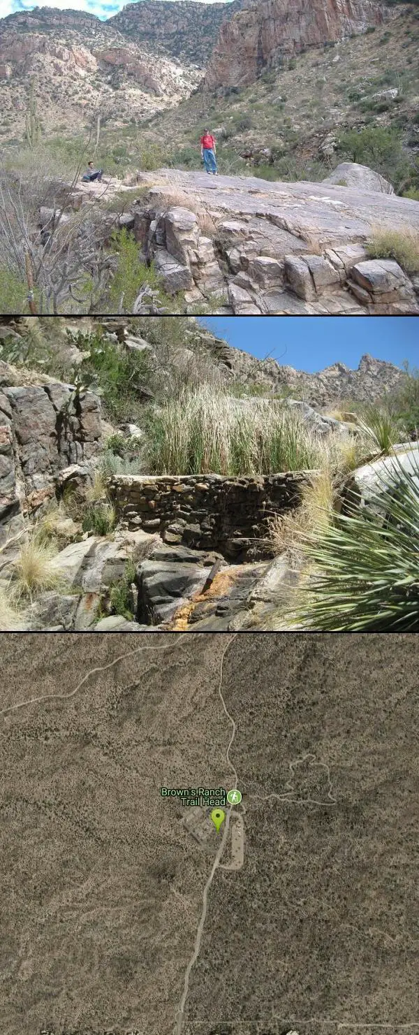
Browns Ranch to Granite Mountain
Scottsdale, Arizona
0.0 miles NStarts off at a trailhead onto a two track that can be taken to a variety of trails
Mountain Bike
Jane Rau Brown's Canyon Trail
Scottsdale, Arizona
0.0 miles NEThe Jane Rau Brown Canyon Trail was named after Jane Rau Brown, one of the pioneers of the McDowell Sonoran Conservancy, for her determination and passion in preserving the desert and the park....
Hike, Horseback, Mountain Bike
Brown Ranch Trail to Cone Mountain Trail
Scottsdale, Arizona
0.1 miles NHike near Scottsdale, Arizona
Hike
Pinnacle Peak Trail
Scottsdale, Arizona
2.5 miles SWPinnacle Peak is a 3.5 mile out-and-back, moderate hiking trail, that includes rock climbing routes (for experienced climbers), within the Sonoran Desert. This trail, and park, in...
Hike, Horseback, Rock Climb
Pima Road and Dynamite Blvd
Scottsdale, Arizona
2.9 miles SWThis is desert highlands and a beautiful part of the Sonoran Desert. (not much left with all the development) There are some jeep trails here and this area is also used by ATV and dirt...
Mountain Bike
Hawksnest Stagecoach Loop
Scottsdale, Arizona
3.1 miles EThis is an easy loop, with moderate climbs and fantastic downhill tracks. The trail is well-maintained and for the most part sparsely populated.
Mountain Bike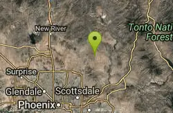
Granite Mountain Loop
Scottsdale, Arizona
3.2 miles EThis is a multi-use trail with hikers and equestrians, but for the most part it is not well-traveled. Much of the trail is single-track and the west side of Granite Mountain has a...
Mountain Bike 2.2 mi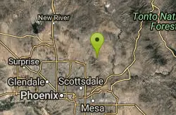
Marcus Landslide Trail
Scottsdale, Arizona
5.1 miles SEThe Marcus Landslide Trail is named after ASU professor Melvin Marcus, a renouned geographer, after the discovery and recognition of the interesting geographical area in 2002. More than 500,000...
Hike, Horseback, Mountain Bike, Rock Climb
Tom's Thumb Trail
Scottsdale, Arizona
5.1 miles SETom's Thumb Trail is a popular trail on the McDowell Sonoran Preserve due to its unique thumb-like granite rock formation. This is a 4.7 out-and-back, intermediate trail because of its 1,200...
Hike, Mountain Bike, Rock Climb
Tom's Thumb, Feldspar, and Marcus Landslide Loop
Scottsdale, Arizona
5.1 miles SEHike near Scottsdale, Arizona
Hike
Whiskey Bottle Trail
Scottsdale, Arizona
5.3 miles EThe trail starts off with sandy single-track then starts a gradual ascent up the side of Fraesfield mountain. The trail then sharply increases (total of 800' elevation gain) and becomes...
Mountain Bike 0.6 mi
Horseshoe Trail
Scottsdale, Arizona
7.5 miles SHorseshoe trail is a short, fun singletrack with a lot of quick turns created by wash areas and rocks. It's a nice warm-up heading to Gateway Loop Trail. In some areas there are a lot of cactus,...
Hike, Horseback, Mountain Bike
Inspiration Point
Scottsdale, Arizona
7.7 miles SInspiration Point is a 5.7, moderate hike located on the McDowell Sonoran Preserve near Scottsdale, Arizona. You'll begin your hike at the Gateway area, where you can find a parking lot...
Hike, Mountain Bike
Gatewa-Prospector-Thompson Peak Road Trail
Scottsdale, Arizona
7.7 miles SHike near Scottsdale, Arizona
Hike
Gateway and Tom's Thumb Loop Trail
Scottsdale, Arizona
7.7 miles SStarting at the 104th St trailhead, head toward the Gateway loop trail. Turn right at the Gateway loop. Next take the Bell pass trail and be prepared for a steep climb. Once you hit...
Hike, Horseback, Mountain Bike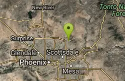
Horseshoe Loop Hike
Scottsdale, Arizona
7.7 miles SHike near Scottsdale, Arizona
Hike
Saguaro Loop and Nature Trail
Scottsdale, Arizona
7.8 miles SHike near Scottsdale, Arizona
Hike
Tom's Thumb to Bell Pass
Scottsdale, Arizona
7.8 miles SHike and Mountain Bike near Scottsdale, Arizona
Hike, Mountain Bike
Phoenix Mcdowell / Wingate Pass / Bell Pass
Scottsdale, Arizona
7.8 miles SThe trailhead has water, bathrooms, etc. The trail starts off shared with other short walking trails and such, then quickly becomes a steep and rocky ascent, with some nice flowing...
Mountain Bike
Tom's Thumb Trail South
Scottsdale, Arizona
7.8 miles SHike near Scottsdale, Arizona
HikeNearby Campsites

Lower Salt River Nature Trail
Fort McDowell, Arizona
18.2 miles SEThe Lower Salt River Nature Trail is a scenic walk to take at the Tonto National Forest. This trail provides stunning views as you walk alongside the Salt River. This rustic trail is older and less...
Camp, Hike
Buckhorn Campground Nature Trail
Apache Junction, Arizona
23.6 miles SECamp and Hike near Apache Junction, Arizona
Camp, Hike
Verde Hot Springs
Camp Verde, Arizona
41.4 miles NVerde Hot Springs are a few natural hot spring pools located along the Verde River, near Sedona, Arizona. Once a resort, now all that remains are the foundations and the hot pools...
Camp, Hike, Hot Springs


