


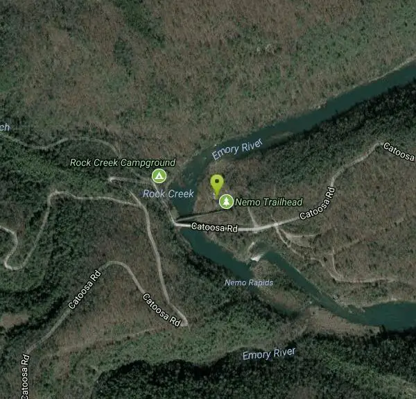
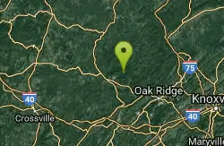
Obed Scenic River Area
Kingston Springs, Tennessee
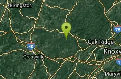
| GPS: |
36°4'8.8"N 84°39'41.4"W Maps | Directions |
| State: | Tennessee |
Swim
Bathing suits: May be optional in places
More Information
- Plan Ahead and Prepare
- Travel & camp on durable surfaces
- Dispose of waste properly
- Leave what you find
- Minimize campfire impacts
- Respect wildlife
- Be considerate of other visitors
Directions
From Kingston Springs, Tennessee
- Head east on Park St toward N Main St (79 ft)
- Turn right onto N Main St (0.2 mi)
- Turn left onto W Kingston Springs Rd (1.3 mi)
- Turn right onto Luyben Hills Rd (0.4 mi)
- Turn left to merge onto I-40 E toward Nashville (19.5 mi)
- Keep right to continue on I-40, follow signs for Huntsville/I-65 S/Knoxville (2.2 mi)
- Keep left at the fork to continue on I-40 E, follow signs for I-24 E/Knoxville/Chattanooga (1.0 mi)
- Keep right to stay on I-40 E (2.1 mi)
- Keep left at the fork to stay on I-40 E, follow signs for Interstate 40 E/Knoxville (107 mi)
- Take exit 320 for TN-298/Genesis Rd toward Crossville (0.3 mi)
- Sharp left onto TN-298 N/Genesis Rd (23.7 mi)
- Turn right onto TN-62 E (4.7 mi)
- Slight right onto Montgomery Rd (2.9 mi)
- Turn right onto Main St/Old Hwy 27 (0.8 mi)
- Turn right onto Bonifacius St (0.2 mi)
- Turn right to stay on Bonifacius St (230 ft)
- Continue onto Catoosa Rd (5.4 mi)
- Turn right (0.1 mi)
- Slight rightDestination will be on the right(102 ft)
Other Swimming Holes Nearby
Frozen Head State Park
Wartburg, Tennessee
10.8 miles NESwim near Wartburg, Tennessee
Swim
Ozone Falls
Rockwood, Tennessee
15.5 miles SWSwim near Rockwood, Tennessee
Swim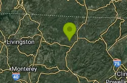
Big South Fork Area
Helenwood, Tennessee
22.1 miles NBig South Fork is a National Recreation Area that straddles the boarder between Kentucky and Tennessee. This large park provides miles of trails, forests and riverfront making it the perfect place to...
Camp, Hike, Swim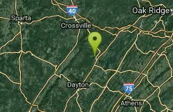
Piney River Area
Rockwood, Tennessee
27.5 miles SWThe Piney River area has a 10 mile through-trail that leads to several swimming holes. For good information about this area... Bathing suits: Probably optional -...
Swim 1.0 mi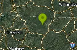
Gentleman's Swimming Hole
Oneida, Tennessee
29.0 miles NGentleman's Swimming Hole is a popular hike and swimming hole in Big South Fork National Forrest. This section of the Clear Fork River Runs slow and is deep enough for an actual...
Hike, Swim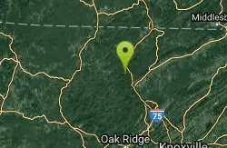
Turley Hole
Pioneer, Tennessee
29.9 miles NESwim near Pioneer, Tennessee
Swim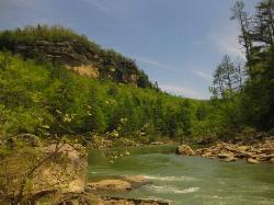
Blue Heron
Stearns, Kentucky
41.9 miles NBlue Heron is a beautiful, forested swimming hole on the Big South Fork Cumberland River. The river here has cool water that is shallow at the edges, deepening in the center allowing for a true...
Swim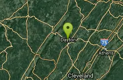
Richland Creek
Dayton, Tennessee
42.6 miles SWSwim near Dayton, Tennessee
Swim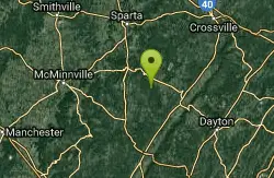
Fall Creek Falls State Park
Pikeville, Tennessee
47.5 miles SWSwim near Pikeville, Tennessee
Swim


