


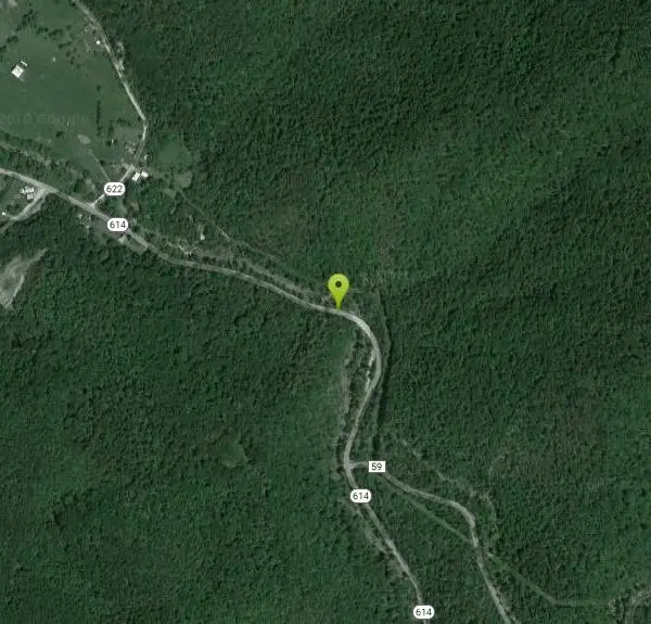
North Creek Area
Mount Solon, Virginia
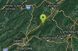
| GPS: |
37°32'43.9"N 79°36'56.8"W Maps | Directions |
| State: | Virginia |
Swim
Bathing suits: The Jennings Creek swimming holes are very exposed and bathing suits are customary. Behind campsite 13 is pretty private - maybe bathing suits optional at night for a private group.
More Information
- Plan Ahead and Prepare
- Travel & camp on durable surfaces
- Dispose of waste properly
- Leave what you find
- Minimize campfire impacts
- Respect wildlife
- Be considerate of other visitors
Directions
From Mount Solon, Virginia
- Head west on State Rte 747 toward VA-731 (82 ft)
- Turn left onto VA-731 (2.6 mi)
- Continue onto State Rte 607 (4.4 mi)
- Continue onto State Rte 613 (5.9 mi)
- Turn left onto VA-262 N/Woodrow Wilson Pkwy (3.1 mi)
- Turn right to merge onto I-81 S toward Roanoke (57.0 mi)
- Take exit 168 for VA-614 toward Arcadia (0.1 mi)
- Turn left onto State Rte 614/Arcadia Rd (476 ft)
- Continue straight onto State Rte 614 (3.1 mi)
Other Swimming Holes Nearby
Arnold Valley Pool
Natural Bridge Station, Virginia
7.5 miles ESwim near Natural Bridge Station, Virginia
Swim
Matts Creek Area
Clifton Forge, Virginia
12.4 miles ESwimming places on the Appalachian Trail near the James River and near an A.T. shelter. A very pleasant 2.5 mile hike each way. Swimming holes near shelter will likely be very...
Swim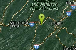
Longdale
Clifton Forge, Virginia
17.5 miles NSwim near Clifton Forge, Virginia
Swim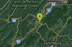
Ben Salem Wayside
Lexington, Virginia
18.8 miles NESwim near Lexington, Virginia
Swim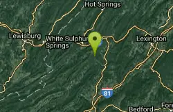
Roaring Run
Eagle Rock, Virginia
18.9 miles NWSwim near Eagle Rock, Virginia
Swim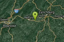
Big Otter River
Goode, Virginia
20.3 miles SESwim near Goode, Virginia
Swim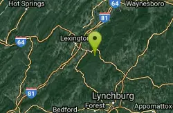
Panther Falls
Amherst, Virginia
21.1 miles NESwim near Amherst, Virginia
Swim
Cowpasture River Area
Millboro, Virginia
24.2 miles NSwim near Millboro, Virginia
Swim
Humpback Bridge
Covington, Virginia
29.3 miles NWSwim near Covington, Virginia
Swim
Big Marys Creek Slide
Vesuvius, Virginia
31.7 miles NEBig Mary's Creek Slide is a popular destination for both locals and tourists. It is popular because of its beautiful waterfalls, cool clear water and the natural waterslide. The waterslide...
Swim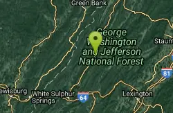
Jefferson Pools
Warm Springs, Virginia
36.2 miles NNatural hot springs at 96-98 degrees bubble up from a rock floor into large pools which are housed in old wooden buildings, one for men, one for women, built in the 1700-1800's....
Swim
St. Mary's Falls
Raphine, Virginia
38.7 miles NESt. Mary's Falls is a beautiful swimming hole located in St. Mary's Wilderness. This unique swimming hole has beautiful blue green water and unique rock formations. These low rocks provide a...
Hike, Swim
Blowing Springs
Warm Springs, Virginia
38.8 miles NSwim near Warm Springs, Virginia
Swim
Campbell Creek
Tyro, Virginia
40.4 miles NESwimming places in creek, pool at bottom of falls and others nearby. A 6 miles hike, round trip, much on the AT and a good bit of elevation change to get there. Good if you are looking for a serious...
Swim
Watoga State Park
White Sulphur Springs, West Virginia
48.3 miles NWSwim near White Sulphur Springs, West Virginia
Swim
Pauls Creek
Nellysford, Virginia
48.4 miles NEPaul's Creek Trail is a beautiful short hike to a unique little swimming hole. From the parking lot to the waterfall and back is a quick and easy 1.2 mile hike. This makes this a beautiful hike...
Hike, Swim


