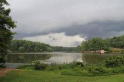
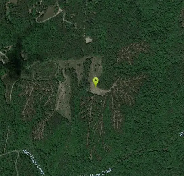
New Hope Creek
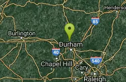
Durham, North Carolina
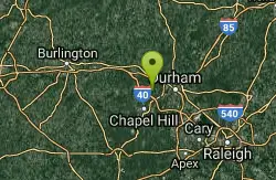
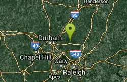
6.6 miles W of Durham, North Carolina
| GPS: |
35°59'21.9"N 79°1'0.4"W Maps | Directions |
| State: | North Carolina |
Swim
Several swimming spots along this creek - some rocks to sun on. Best when the water level is high - in the spring or after rain.Courtesy of swimmingholes.org
Bathing suits: Customary at some places, optional others
More Information
- Plan Ahead and Prepare
- Travel & camp on durable surfaces
- Dispose of waste properly
- Leave what you find
- Minimize campfire impacts
- Respect wildlife
- Be considerate of other visitors
Directions
From Durham, North Carolina
- Head northwest on E Main St toward N Church St (0.1 mi)
- Turn left onto S Mangum St (0.3 mi)
- Turn right onto Jackie Robinson Dr/N Service Rd W (148 ft)
- Take the NC-147 N/Durham Fwy N ramp on the left (0.1 mi)
- Merge onto NC-147 N/Durham Fwy (3.4 mi)
- Take exit 16B for US-15 S/US-501 S toward Chapel Hill (0.3 mi)
- Keep left at the fork to continue toward US-15 S/US-501 S (0.1 mi)
- Keep left, follow signs for US-15 S/US-501 S/Chapel Hill/W Campus/Duke Univ and merge onto US-15 S/US-501 S (1.0 mi)
- Take exit 107 for NC-751 toward W Campus/Duke Univ (0.2 mi)
- Turn right onto NC-751 N (0.2 mi)
- At the traffic circle, take the 2nd exit onto Erwin Rd (1.7 mi)
- Turn right onto Mt Sinai Rd (2.1 mi)
- Turn left onto Twin Mountain Rd (0.2 mi)
- Turn left to stay on Twin Mountain Rd (0.3 mi)
- Slight left to stay on Twin Mountain Rd (456 ft)
to add photos & videos and suggest edits
Edit Review
Delete Review
Other Swimming Holes Nearby
Add Location
Eno River Area
Durham, North Carolina
7.8 miles NESwim near Durham, North Carolina
Swim
Falls Lake State Park
Wake Forest, North Carolina
18.4 miles EFalls Lake State Recreation Area has 4 sandy swimming beaches: Sandling Beach, Rolling View Beach and Beaverdam Beach, which also have nearby restrooms and changing facilities. The...
Swim