


94 Mountain Bike Trails near Victor Bike Park
first prev 1 2 3 4 5 next lastShowing Mountain Bike Trails within 50 miles Distance miles of 73 Elm St, Victor, ID 83455, USA City, Zip, or Address
Rush Hour
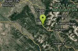
Victor, Idaho
3.1 miles SETrail is a fun little out n back. 2 miles one way. Only gain about 340' in elevation throughout the trail. Perfect small workout trail and good intro to singletracks in the area. Trail turns...
Mountain Bike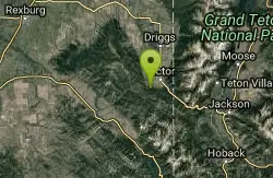
Allen Canyon-Pole Canyon Trail (014)
Victor, Idaho
3.7 miles SWThis trail is locally known as the Pole Canyon Trail. Just South of Victor, ID, the Allen Canyon-Pole Canyon Trail (014) is a popular destination for local motorbikers, horseback...
Mountain Bike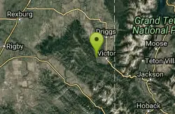
Rocky Peak Via Spooky Trail
Victor, Idaho
4.4 miles WYou will start up Spooky trail which is the only trail in the parking area. There is a trail junction on your left about 1.2-1.5 just keep going straight. At about 2.6 from TH you'll...
Mountain Bike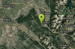
Grove Creek to Drake Creek
Victor, Idaho
4.7 miles WGreat loop trail that connects several trails through the area. This trail was recently rerouted, and so will have plenty of new switchbacks to take as riders climb the mountain. Originally this...
Mountain Bike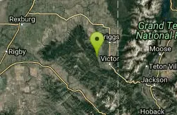
Henderson Canyon
Victor, Idaho
6.1 miles NWTrail begins as dirt road/double track with numerous "cow" trails breaking off of road. Some of these trails see more tire tracks than others.
Mountain Bike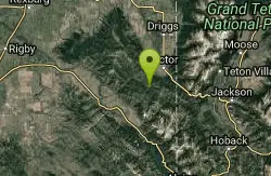
Sheep Driveway
Irwin, Idaho
6.3 miles SWOHVs, mountain biking, day hiking, horse riding. source: fs.usda.gov
Mountain Bike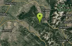
Red Creek Via Spooky Trail
Victor, Idaho
6.7 miles WTrail starts on the Spooky trail segment. About 1.2 up you'll see a trail on your left. This is where you will be coming out at. Continue straight. At about 2.6 from the car you'll...
Mountain Bike 1.2 mi
Spooky
Victor, Idaho
6.8 miles WTrail serves as the stem to Red Creek or access to Corral Creek as well as other possibilities in the big hole mountains. Nice fun singletrack to run as an out n back if your time is...
Mountain Bike
Big Hole Crest Trail
Driggs, Idaho
7.4 miles NWThis is a tough ride. Definately for advanced riders. Lots of climbing and descending. The trail at either end is well used and really fun. Not too much technical riding, just fun...
Mountain Bike 0.1-0.2 mi
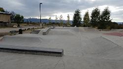
Driggs Bike and Skate Park
Driggs, Idaho
8.4 miles NThis is a great concrete skatepark and small mountain bike park with great features, both natural and wooden. There's a great pavilion right next to the skatepark and parking lot. While...
Mountain Bike, Skateboard 4.6 mi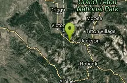
Coal Creek Trail
Alta, Wyoming
8.5 miles SEEnjoy outstanding views from upper Coal Creek Meadows, this hike description travels just beyond the meadows to the top of Coal-Mesquite Divide where you'll enjoy some rather dramatic views of...
Hike, Mountain Bike 3.9 mi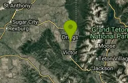
Three Wookie Trail
Driggs, Idaho
8.6 miles NMountain Bike near Driggs, Idaho
Mountain Bike 4.5 mi
Aspen Trail
Alta, Wyoming
9.1 miles NAspen Trail (tr 034) is single track trail for 4.35 miles along 6,800 ft contour to Darby Canyon (tr 012). Spring Creek Trail (tr 032) is double track trail for 3.68 miles to end. The trail starts...
Hike, Mountain Bike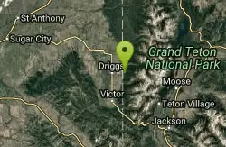
Spring Creek Trail
Alta, Wyoming
9.3 miles NThis trail starts at the remains of the historic Rapid Creek Ranger Station. The trail heads east following an old road. After crossing Rapid Creek, the trail climbs up to a ridge...
Mountain Bike
Twin Creek Trail
Driggs, Idaho
9.7 miles NWThe Twin Creek trail is 2.3 miles long. It begins at Trail 6195 and ends at Trail 6219. source: fs.usda.gov
Mountain Bike
Trail Canyon Trail
Ririe, Idaho
10.1 miles WThe Trail Canyon trail begins at Trail Canyon Parklot, T8s R43e Sec28 and ends at Intersect Trail 5251,t8s R43e Sec28. source: fs.usda.gov
Mountain Bike
West Pine Creek Trail
Ririe, Idaho
10.1 miles WNon-motorized use. source: fs.usda.gov
Mountain Bike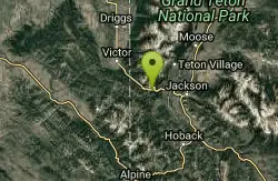
Fuzzy Bunny/Power Line Jumps/Parallel
Wilson, Wyoming
11.1 miles SEThis is a steep, fast, rugged downhill trail with some freeride features that are also "ride-around-able." At the end of Fuzzy Bunny, look for Power Line Jumps off the Old Pass Road...
Mountain Bike
North/South Rainey Creek Trails
Irwin, Idaho
11.2 miles SWMotorcycle trail. source: fs.usda.gov
Mountain Bike
Black Canyon
Wilson, Wyoming
12.3 miles SETrail starts at the parking lot ontop of the pass. Take the service road on the west side of the parking lot. The road will turn into singletrack when you reach a service building...
Mountain Bike


