


36 Mountain Bike Trails near Eagle Bike Park
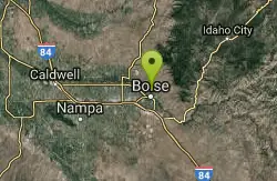
first prev 1 2 next lastShowing Mountain Bike Trails within 50 miles Distance miles of Dry Creek Cemetery Rd, Garden City, ID 83714, USA City, Zip, or Address
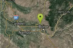
Seaman's Gulch
Garden City, Idaho
1.2 miles EFrom the parking lot, head south and either turn left at the water tank for a short and somewhat steep climb to the ridge, or follow the trail along the road for a longer, more gradual...
Mountain Bike
Eagle Velo Sports Park
Garden City, Idaho
1.7 miles NWThe Eagle Velo Sports Park is an outdoor paradise. Skate Park, Basketball Court, Roller Hockey Court, and yes some of the best mountain biking your full suspension bike can handle. In the near...
Mountain Bike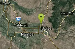
Idaho Velodrome And Cycling Park
Garden City, Idaho
1.7 miles NWThere is a network of cross-country trails around the cycling park: Veteran's Trail, Big Springs Loop, Rabbits Run, D's Chaos, Twisted Sister, and Junk Yard. The singletracks is new...
Mountain Bike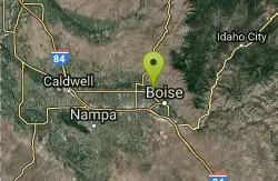
Full Sail
Boise, Idaho
2.2 miles SETrail follows contour around hills toward Town meets up with Buena Vista.
Mountain Bike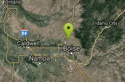
Hidden Springs
Boise, Idaho
3.4 miles NEA small network of three trails: Redtail Trail, Lookout Loop Trail, and Current Creek Trail. Singletrack that wind through hills and along new development in the Dry Creek valley....
Mountain Bike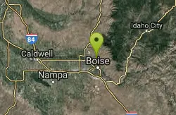
Polecat Gulch
Garden City, Idaho
4.1 miles ESmall network with one larger loop (Polecat Loop) and two connector trails (Doe Ridge, Quick Draw) inbetween. Nice singletrack that winds around the Polecat Gulch Area. A few sandy...
Mountain Bike
Hillside to the Hollow
Boise, Idaho
5.7 miles SEOpen space in the central foothills with multi-use trails.
Mountain Bike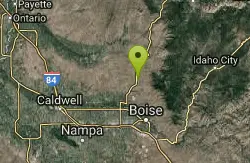
Spring Valley
Boise, Idaho
6.2 miles NNice trail in scenic drainage of Spring Creek in Avimore trail network. Smooth singletrack with some rocky technical spots.
Mountain Bike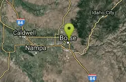
Red Cliffs
Boise, Idaho
6.2 miles SEsmooth singletrack
Mountain Bike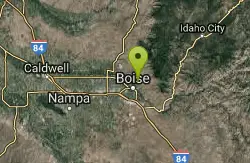
Corral Loop
Boise, Idaho
6.3 miles SETrail is easy double track with gradual climb. Continue on main trail until it curves left up a steep hill. Stay on obvious track to the right. Continues until you come to an old run...
Mountain Bike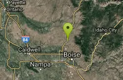
Coyote Run
Boise, Idaho
6.3 miles NDusty dry single track, mixed with some double track at the top.
Mountain Bike
kestrel, military connector, shanes, watchman, sidewinder, red cliffs
Boise, Idaho
6.3 miles SEhard pack, very little technical parts, narrow and steep on watchmans, some good challenging climbs
Mountain Bike
Red Fox Loop
Boise, Idaho
6.3 miles SEIf a regular Foothills loop is just too much climbing for you, or you're with a newer rider that isn't down for a 4 mile climb, this may be the loop for you. It has all the same variaty...
Mountain Bike
Kestrel, Crestline, Red Cliffs and Chickadee Ridge
Boise, Idaho
6.4 miles SEFrom Camelsback Park ride up to Kestrel. Once at the top of the little climb you make a left on Crestline Trail and continue up to the junction with Red Cliffs where you turn left...
Mountain Bike
Central Foothills
Boise, Idaho
6.4 miles SEFrom foothills to mountain tops, Idaho's wilderness offers some of the best hiking in the country. With over 19,000 miles of trails, hikers can find everything from paved recreational trails...
Hike, Mountain Bike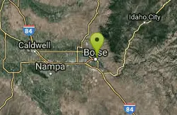
Kestrel, Sidewinder, Hulls Gultch
Boise, Idaho
6.4 miles SEThis trail starts out easy and becomes more difficult as you climb higher into the foothills. There are detailed marker posts along the way to guide you to the multiple loops in the...
Mountain Bike
Corrals
Boise, Idaho
6.7 miles EA generally wide trail, sometimes part of an old road, that connects over to Bob's, Scotts, or 8th Street, and is a necessary start to access Hard Guy. Less used that Hulls Gulch or...
Mountain Bike
Crest Line To Lower Hull's Gulch
Boise, Idaho
6.7 miles SETrial is a nice loop that starts at Crestline and comes back around on Lower Hull's
Mountain Bike
kestrel, military connector, shanes, watchman
Boise, Idaho
7.3 miles SEhard pack, very little technical parts, narrow and steep on watchmans, some good challenging climbs
Mountain Bike
Military Reserve Trails
Boise, Idaho
7.6 miles SEThis 460 acre natural area is named for Ft. Boise and the associated military maneuvers that were performed here between the 1860's and 1940's. The area served several purposes, including...
Hike, Mountain Bike


