


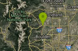
94 Mountain Bike Trails near Boulder Valley Ranch
first prev 1 2 3 4 5 next lastShowing Mountain Bike Trails within 50 miles Distance miles of 7528 US-36, Boulder, CO 80302, USA City, Zip, or Address
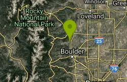
Hall Ranch
Boulder, Colorado
2.9 miles NFrom the lower parking lot, go uphill to the trailhead at the upper lot. From here it's an easy trail to follow. Follow Bitterbrush trail uphill through somewhat rough singletrack....
Mountain Bike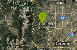
Bald Mountain Trail
Boulder, Colorado
5.3 miles SWThe trail is short with a really steep section, that is also short... Ride the trail CCW, about 10 times. Going CW there is a 5 foot technical section that is tough because you're...
Mountain Bike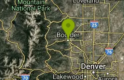
Chapman Drive
Boulder, Colorado
6.3 miles SA somewhat steep 940 ft elevation gain climb up the backside of Flagstaff Mountain along a disused, double track, 1930's era Civilian Conservation Corps dirt road. Highlights include...
Mountain Bike
Picture Rock Trail
Lyons, Colorado
7.0 miles NThis is a great way to access the Heil Valley Ranch trails, especially if you don't want to do the climbing of Wapiti Trail. There are some cool old buildings (and an old, broken-down,...
Mountain Bike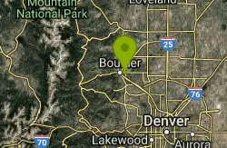
CU Dirt Jumps
Boulder, Colorado
7.2 miles SThis .75 mile network of singletrails / doubletrails contains numerous dirt jumps that are scattered throughout the area. It keeps me excited and interested for countless hours, and has...
Mountain Bike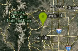
Heil Valley Ranch
Boulder, Colorado
7.9 miles NThere are currently 13.5 miles of bike-legal trails at Heil Valley ranch, but in order to ride all of them at once you’d have to do at least 23-24 miles of pedaling. The trail...
Mountain Bike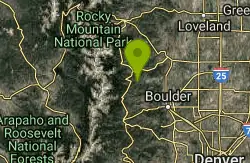
Ceran Saint Vrain Loop
Ward, Colorado
8.6 miles WFairly easy trail, not much climbing. Some hazards are the technical parts of the trail trail being along a steep drop, beginners, of if your not sure of your abilities, walk your...
Mountain Bike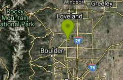
Lobo Trail
Longmont, Colorado
10.4 miles EThe trail is a graded double track (with some paved greenway) that follows the train tracks diagonally from Longmont to Boulder, Colorado
Mountain Bike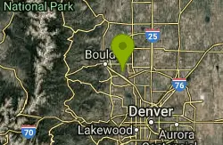
Davidson Mesa
Louisville, Colorado
11.0 miles SEThis is a small network of trails that you can link together in various ways. Most of it is pretty tame, including the steepest trail that goes off the mesa. A good ride for kids....
Mountain Bike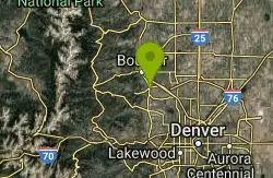
Dirty Bismarck
Boulder, Colorado
11.1 miles SA mountain bike version of the classic Morgul-Bismarck loop. The ride is a mix of smooth gravel road-type riding and some mild singletrack; this is an easy ride from a technical...
Mountain Bike
Marshall Mesa Area
Boulder, Colorado
11.1 miles SSome single, some doubletrack. Not too much climbing and nothing technical at all, but makes a great night ride.
Mountain Bike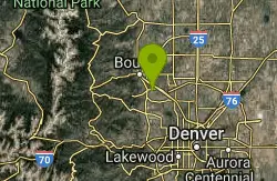
Coalton Trail
Boulder, Colorado
11.4 miles SThis is a very mild trail from a technical standpoint, and is mostly flat other than one very steep (though short) hill. This trail isn't anything special, but it can be used to link...
Mountain Bike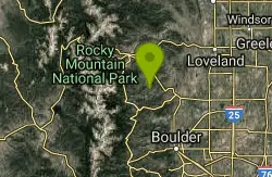
Coulson Gulch
Lyons, Colorado
11.8 miles NWThis is a sweet descent down to the North Saint Vrain River, then the trail follows the river upstream a couple of miles. It is easy to follow. When you get to the bottom, take a right....
Mountain Bike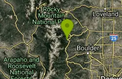
Bunce School Road To T33 Crash Site
Lyons, Colorado
11.9 miles WBunce School road is mostly class 2 except about a half mile in the middle that was loose and steep (class 4). Take FR202 to FR203 to a hiking trail to get to the crash site. 203 has a...
Mountain Bike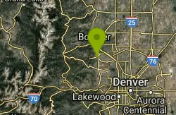
Doudy Draw Trail
Boulder, Colorado
11.9 miles S1.7 mile + 0.5 mile to intersection with Community Ditch Trail. Meanders southward along the draw to the junction with the South Spring Brook Loop Trail (2.3 miles). After the Spring...
Mountain Bike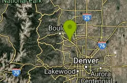
Marshall Road Open Spaces
Superior, Colorado
12.6 miles SEThis trail is fairly easy except for the first climb. Take a look at the trailhead for the route you would like to take. The trail changes in several directions and make sure you...
Mountain Bike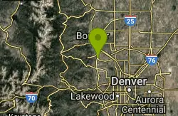
Flatirons Vista
12.8 miles S
A quick, easy, smooth trail. Good for testing out new tires or pedals, but not great for pounding out a lot of miles. You can use this to connect to Dowdy Draw, Community Ditch,...
Mountain Bike
Greenbelt Plateau
12.8 miles S
An extremely mild, easy trail. Gentle climbs and descents on coarse gravel that's very stable. Extremely few rocks. A good trail for teaching your kids to ride off the road, or for a...
Mountain Bike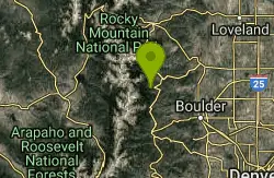
Buchanan Pass
Lyons, Colorado
12.8 miles WBegin going west from the parking lot on the 4x4 road. Very shortly, there will be a trail that drops to the right and crosses the creek--that's it. Follow it 4.5 miles to the...
Mountain Bike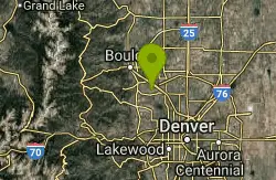
High Plains Trail
Superior, Colorado
14.0 miles SEThis is a new section of singletrack that flows across the high plains West of Superior that opened this Spring (2007). There's nothing technical as the trail rolls through the plains...
Mountain Bike


