


Lowell Johnson Park
Anderson Island, Washington
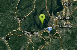
| GPS: |
47°10'7.1"N 122°41'24.8"W Maps | Directions |
| State: | Washington |
Swim
More Information
- Plan Ahead and Prepare
- Travel & camp on durable surfaces
- Dispose of waste properly
- Leave what you find
- Minimize campfire impacts
- Respect wildlife
- Be considerate of other visitors
Directions
From Anderson Island, Washington
- Head south on Otso Point Rd toward Glenhaven Rd (0.9 mi)
- Turn left onto Yoman Rd (0.7 mi)
- Turn right onto Eckenstam Johnson Rd (0.3 mi)
- Turn left onto Guthrie Rd (0.2 mi)
- Turn right onto 114th AveDestination will be on the left(456 ft)

Other Swimming Holes Nearby
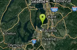
Dash Point Beach
Federal Way, Washington
16.9 miles NEDash Point State Park beach, entry fee, relatively warm water and sun, best in the afternoon. Restroom, outdoor shower. Camping at the site. WEB SITE . Fees: Yes
Swim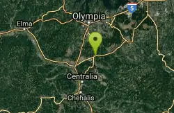
Quarry Pool
Tenino, Washington
22.9 miles SSwim near Tenino, Washington
Swim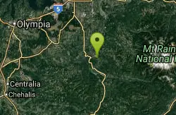
Eatonville Area
Palisades, Washington
29.5 miles SESwim near Palisades, Washington
Swim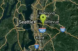
Seattle Area Beaches
Leavenworth, Washington
36.0 miles NESwim near Leavenworth, Washington
Swim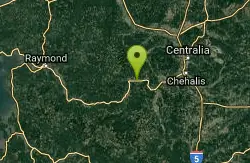
Rainbow Falls State Park
Chehalis, Washington
45.2 miles SWRainbow Falls State Park is a 139-acre camping park with 3,400 feet of freshwater shoreline on the Chehalis River. Constructed in 1935 in the heart of old-growth forest, this wooded park is known...
Camp, Hike, Swim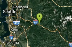
Snoqualmie River Area
Leavenworth, Washington
49.0 miles NEPopular unoffical swimming areas in Snoqualmie River and nearby. BE CAREFUL OF CURRENTS HERE - DO NOT GO IN IF CURRENT IS STRONG! PEOPLE HAVE DROWNED IN THESE PLACES RECENTLY....
SwimNearby Campsites
Blake Island
Port Orchard, Washington
27.2 miles NNestled between Bainbridge Island and Vashon Island, the 476-acre island once was privately owned and then in 1974 became Blake Island State Park. Blake Island is a favorite location for kayaking,...
Camp, Hike
Rainbow Falls State Park
Chehalis, Washington
45.2 miles SWRainbow Falls State Park is a 139-acre camping park with 3,400 feet of freshwater shoreline on the Chehalis River. Constructed in 1935 in the heart of old-growth forest, this wooded park is known...
Camp, Hike, Swim


