


Lincoln Woods
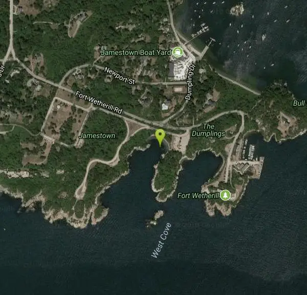
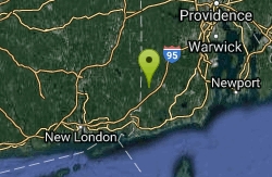
Jamestown, Rhode Island
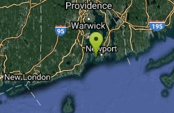
1.3 miles SE of Jamestown, Rhode Island
| GPS: |
41°28'45.4"N 71°21'40.6"W Maps | Directions |
| State: | Rhode Island |
Swim
More Information
- Plan Ahead and Prepare
- Travel & camp on durable surfaces
- Dispose of waste properly
- Leave what you find
- Minimize campfire impacts
- Respect wildlife
- Be considerate of other visitors
Directions
From Jamestown, Rhode Island
- Head east on Narragansett Ave toward Coronado St (0.2 mi)
- Sharp right onto Conanicus Ave (0.3 mi)
- Conanicus Ave turns slightly left and becomes Walcott Ave (0.6 mi)
- Turn left onto Fort Wetherill Rd (0.2 mi)
- Turn right (72 ft)
- Turn leftDestination will be on the right(0.2 mi)
to add photos & videos and suggest edits
Edit Review
Delete Review
Other Swimming Holes Nearby
Add Location

Twelve O'clock High
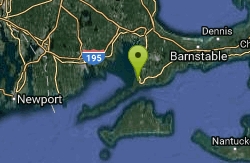
Newport, Rhode Island
1.8 miles SSwim near Newport, Rhode Island
Swim
Alton
Richmond, Rhode Island
18.9 miles WSwim near Richmond, Rhode Island
Swim
Ashville Pond
Hopkinton, Rhode Island
20.3 miles WSwim near Hopkinton, Rhode Island
Swim
Colt State Park
Hopkinton, Rhode Island
20.3 miles WRocky bay beach area, clothing gets more optional (by tradition, i.e., not patrolled by police) the further you walk down the beach. The Bristol Town Beach which has swimming...
Swim
Punchbowl
Falmouth, Massachusetts
38.0 miles ESwim near Falmouth, Massachusetts
Swim
Indian Well State Park
Waterford, Connecticut
40.8 miles WSwim near Waterford, Connecticut
Swim
Chaplin Area
Chaplin, Connecticut
44.7 miles NWSwim near Chaplin, Connecticut
Swim
Mount Hope Brook
Mansfield, Connecticut
47.0 miles NWSwim near Mansfield, Connecticut
Swim


