


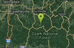
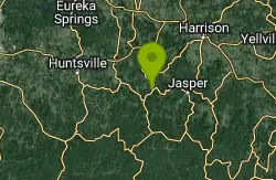
Kings River Falls
Sheridan, Arkansas
| GPS: |
35°53'40.3"N 93°35'6.4"W Maps | Directions |
| State: | Arkansas |
Hike and Swim
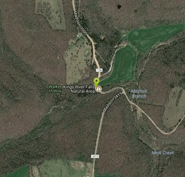
Kings River Falls is a incredibly unique waterfall near Sheridan, Arkansas. The waterfall descends sharply from a red shelf that stretches over the pool below. The waterfall looks different at different points of the year, sometimes roaring from the whole shelf and sometimes trickling only from a few points. At any time of year this view is worth the hike.
The hike to Kings River Falls is two miles round trip, with the trailhead being directly by the parking lot. The trail is an easy to moderate trail, accomplishable by most hikers. The hike follows Mitchell Creek and then Kings River up to the falls, making the entire hike full of beautiful views. With the falls being the halfway point it is the perfect place to stop and enjoy the views as well as the cool water. The water pooling by the waterfall is the perfect place to stop and take a swim. This unique swimming experience will be one worth remembering. Swimmers swim at their own risk and should be cautious while swimming.
More Information
Be courteous, informed, and prepared. Read trailhead guidelines, stay on the trail, and don't feed the wildlife.
Read More- Plan Ahead and Prepare
- Travel & camp on durable surfaces
- Dispose of waste properly
- Leave what you find
- Minimize campfire impacts
- Respect wildlife
- Be considerate of other visitors
Directions
From Sheridan, Arkansas
- Head north on US-167 BUS/
Rock St toward E Bell St (2.5 mi) - Keep right to continue on US-167 BUS (318 ft)
- Merge onto US-167 N (17.9 mi)
- Keep left at the fork, follow signs for I-530 N/
US-65 N/ US-167 N/ Little Rock and merge onto I-530 N/ US-167 N/ US-65 N (10.1 mi) - Take the exit on the left onto I-30 E/
US-167 N/ US-65 N toward Downtown/ Little Rock (4.7 mi) - Take exit 143A on the left to merge onto I-40 W/
US-65 N toward Fort Smith Continue to follow I-40 W(89.5 mi) - Take exit 64 to merge onto US-64 W/
E Main St toward Lamar (5.7 mi) - Turn right onto AR-21 N (28.1 mi)
- Turn left onto AR-16 W (10.7 mi)
- Turn right onto Madison 3605 (1.1 mi)
- Slight left onto Madison 3500 (4.3 mi)
Other Swimming Holes and Hiking Trails Nearby
Ponca Bridge
Ponca, Arkansas
15.2 miles NEPonca Bridge is an easy to access swimming hole, providing a great way to cool off on hot days without long hikes, drives or overnight camping. This swimming hole has bright blue water teeming...
Hike, Swim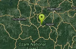
Ponca Area
Morrilton, Arkansas
17.1 miles NESwim near Morrilton, Arkansas
Swim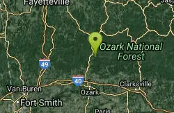
Mulberry River Area
Umpire, Arkansas
18.6 miles SWSwim near Umpire, Arkansas
SwimBradley Park
Jasper, Arkansas
23.4 miles EBradley Park is a wonderful escape to nature located right in Jasper, Arkansas. The Little Buffalo River runs through this beautiful forested park, contrasting the green with clear blue water. There...
Swim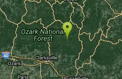
Haw Creek Falls Area
New Blaine, Arkansas
24.7 miles SESwim near New Blaine, Arkansas
Swim
Jasper Area
New Blaine, Arkansas
27.5 miles NESwim near New Blaine, Arkansas
Swim
Pruitt
Pruitt, Arkansas
27.6 miles NEPruitt is a wonderful location on the Buffalo River with two swimming holes to access, Pruitt Landing and Pruitt Ranger's Station. Pruitt Landing has a sandy beach that is perfect...
Canoe, Kayak, Swim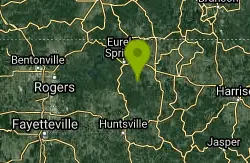
Trigger Gap
Eureka Springs, Arkansas
29.4 miles NKings River is the perfect place for you if you love to kayak. Trigger gap is fairly mild and calm, a great place for a beginner to kayak. You can rent supplies like canoes, kayaks, fishing kayaks,...
Canoe, Kayak, Swim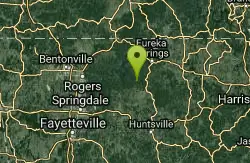
Eureka Springs Area
Heber Springs, Arkansas
31.7 miles NWSeveral swimming places near Eureka Springs in far northwest Arkansas on Beaver Lake and in King River. For details... Bathing suits: Some optional-see below
Swim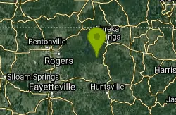
Hogscald Hollow
Eureka Springs, Arkansas
31.8 miles NWHogscald Hollow is an epic swimming hole. If you are the kind of person who gets restless as soon as it's started to just barely warm up, and you begin itching for adventure the moment it hits...
Canoe, Kayak, Swim
Riverside Park
West Fork, Arkansas
33.6 miles WRiverside Park is an incredibly visual park accessible right off of Main Street in West Fork, Arkansas. There is a low concrete dam here, creating an impressive rushing waterfall that is eye catching...
Swim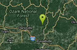
Long Pool Area
Umpire, Arkansas
33.6 miles SESwim near Umpire, Arkansas
Swim
West Fork Area
Mammoth Spring, Arkansas
33.9 miles WSwim near Mammoth Spring, Arkansas
Swim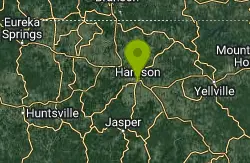
Harrison, AR, USA
Harrison, Arkansas
35.3 miles NECamp, Cave, Hike, and Swim near Harrison, Arkansas
Camp, Cave, Hike, Swim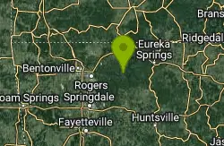
The Cliffs at Beaver Lake
Larue, Arkansas
36.9 miles NWThe Cliffs at Beaver Lake are a popular destination for swimmers and cliff jumpers in Arkansas. This colorful section of cliffs provide stunning contrast to the blue green water of Beaver...
Swim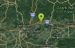
Bluff Hole
Mulberry, Arkansas
37.1 miles SWSwim near Mulberry, Arkansas
Swim
Richland Creek Area
Morrilton, Arkansas
37.6 miles ESwim near Morrilton, Arkansas
Swim
Cedar Flats
Banyard, Arkansas
39.6 miles WCedar Flats is a swimming hole located near West Fork, Arkansas and just outside of Devils Den State Park. This swimming hole is easily accessible with several camping areas available in the...
Swim
Saint Joe Area
Warren, Arkansas
39.8 miles ESwim near Warren, Arkansas
Swim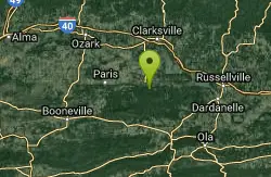
Half Bushel
New Blaine, Arkansas
43.6 miles SSwim near New Blaine, Arkansas
SwimNearby Campsites
Harrison, AR, USA
Harrison, Arkansas
35.3 miles NECamp, Cave, Hike, and Swim near Harrison, Arkansas
Camp, Cave, Hike, Swim
Lee Creek Access
Chester, Arkansas
43.8 miles WLee Creek Access is a great place to cool off in the summer. The water here is smooth and deep and the creek is wide. There is a launching place for kayaks and canoes, and a beach that is...
Camp, Canoe, Kayak, Swim


